Overview
The Sierra Foothill Research and Extension Center (SFREC) is a University of California rangeland research station in the lower Sierra Nevada foothills east of Marysville. The 0.38 km2 study area drops 227 m from oak-woodland ridges to annual grassland slopes, giving it the second-highest roughness in the ensemble (ARS 0.37) despite its small extent. At 1 m resolution the DEM resolves individual swales and cattle paths, so this site tests how SIMWE behaves when microtopography, rather than broad terrain structure, steers the flow.
What this site demonstrates:
- Fine-scale flow routing on grazed rangeland at 1 m resolution.
- A hillslope-to-swale setting intermediate between the flat cropland sites and Coweeta’s mountain catchments.
- Ground water seepage behavior in a small, steep drainage during rainfall.
Site Details
| Location | Sierra Foothill Research & Extension Center, California |
| CRS | NAD83 / UTM zone 10N (EPSG:26910) |
| DEM resolution | 1 m |
| NAIP year | 2022 |
| Area | 0.38 km2 (380,014 cells) |
| Elevation | 188.61 - 415.64 m (mean 282.1 m) |
| Average roughness (ARS) | 0.37 |
NAIP Imagery and Derived Products
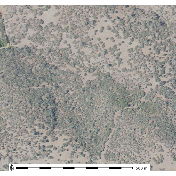

Geomorphology
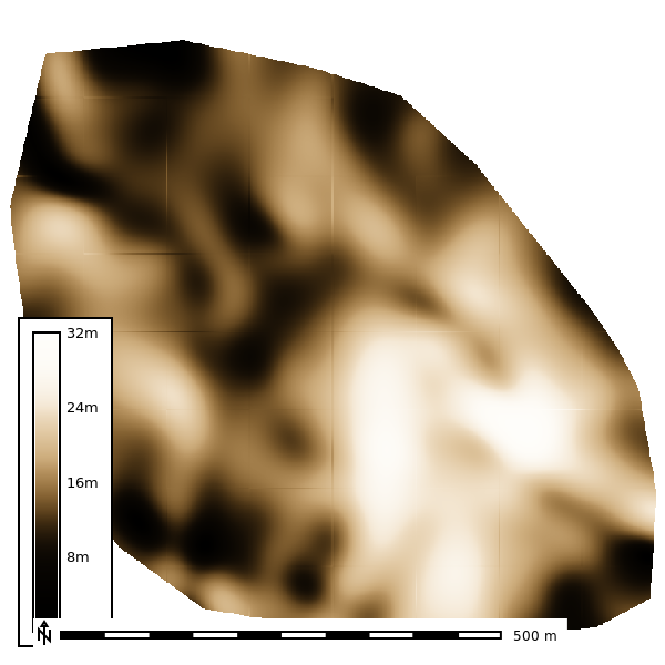
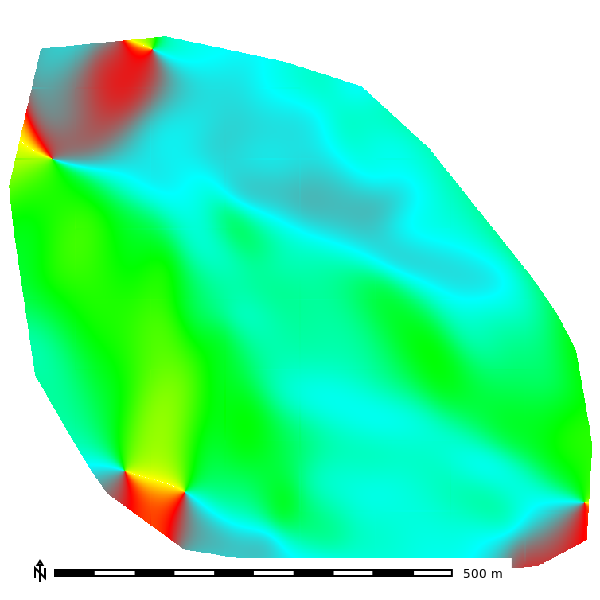
1st Order Derivatives
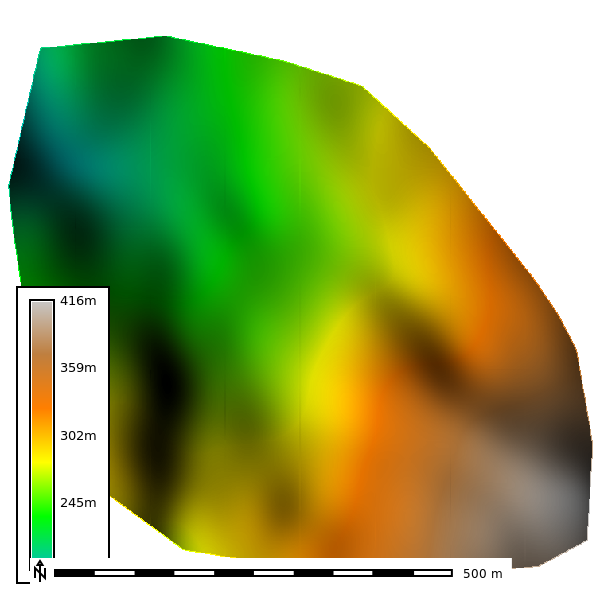

2nd order topographic derivatives
| Slope | Aspect | Geomorphon |
|---|---|---|
 |
 |
 |
| Profile Curvature | Planform Curvature |
|---|---|
 |
 |
Soils
Soil survey polygons come from SSURGO, rasterized by map unit key (MUKEY). The MUKEY raster links every cell to its soil map unit properties (e.g., hydrologic soil group, saturated hydraulic conductivity), which drive the curve-number and infiltration inputs to the simulations below.
| SSURGO MUKEY |
|---|
 |
Simulations
Overland flow is simulated with r.sim.water, the SIMWE path-sampling solution of the shallow-water flow equations. The default run applies a uniform 50 mm/hr rainfall with no infiltration and Manning’s n of 0.1, writing water depth (m) and unit discharge (m3/s) every 2 minutes over a 10-minute event. Spatial patterns therefore reflect terrain routing alone; the ground water and sensitivity sections below relax these assumptions.
Default Parameters
Depth
| 2 Min | 4 Min | 6 Min | 8 Min | 10 min |
|---|---|---|---|---|
 |
 |
 |
 |
 |

Discharge
| 2 Min | 4 Min | 6 Min | 8 Min | 10 Min |
|---|---|---|---|---|
 |
 |
 |
 |
 |
Ground Water
This run replaces the uniform rainfall input with stream-fed sources derived from flow accumulation, using 500,000 walkers and a 4-minute output step (scripts/groundwater.py). Only the combined scenario, groundwater seepage in streams during a 10 mm/hr rainfall, was simulated at SFREC; the seepage-only and springs scenarios were not run here. Depth is in meters, discharge in m3/s.
Depth - Groundwater seepage in streams during rainfall
| 4 Min | 8 Min | 12 Min | 16 Min | 20 Min |
|---|---|---|---|---|
 |
 |
 |
 |
 |
Discharge - Groundwater seepage in streams during rainfall
| 4 Min | 8 Min | 12 Min | 16 Min | 20 Min |
|---|---|---|---|---|
 |
 |
 |
 |
 |
Sensitivity Analysis
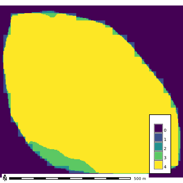
The sensitivity analysis re-runs the simulation across DEM resolutions of 1, 3, 10, and 30 m and walker densities of 0.25 to 2 walkers per cell, with 10 random seeds per combination and 120 one-minute iterations (scripts/sensitivity.py). The watershed extent is delineated at each resolution with a 30,000-cell accumulation threshold.
Basin extent by resolution
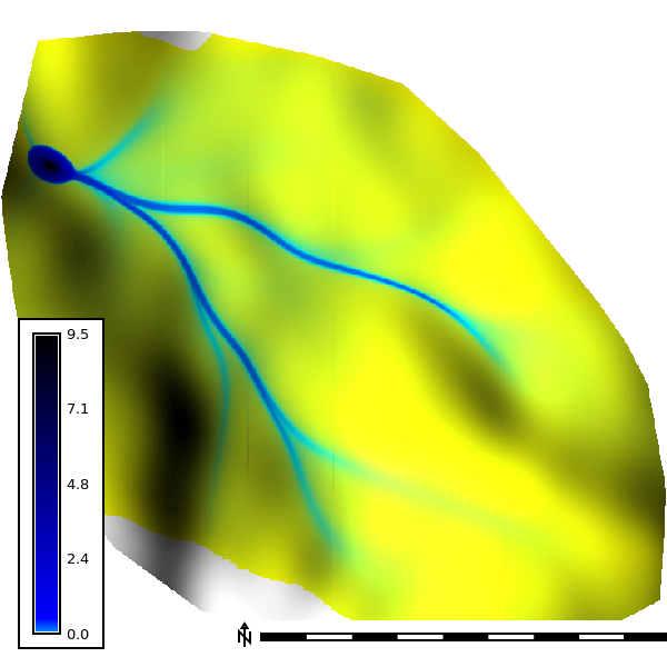
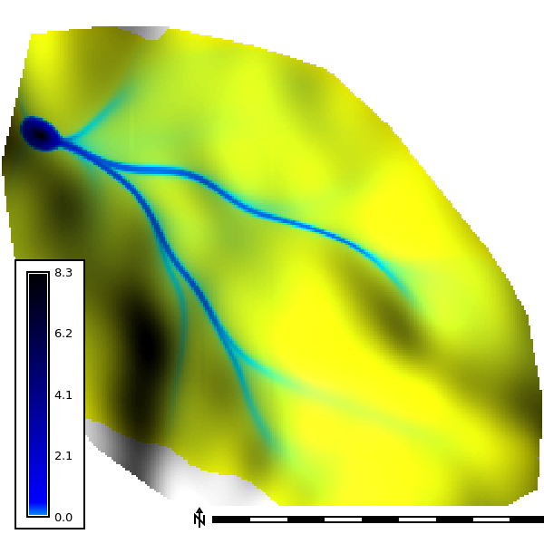
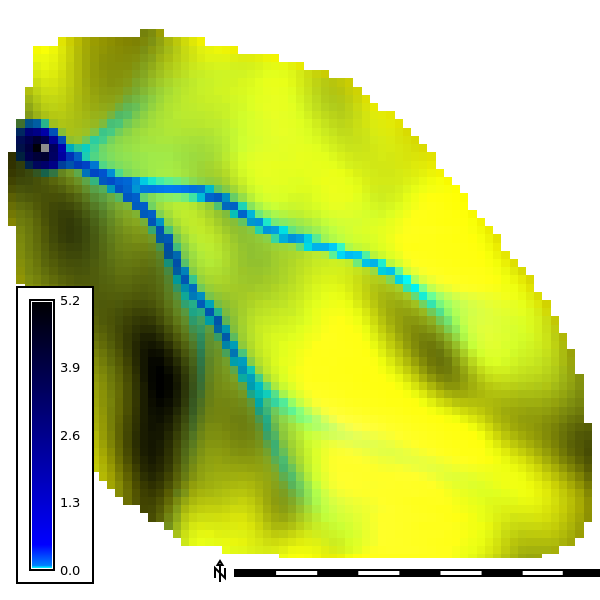
Seed-averaged depth by resolution
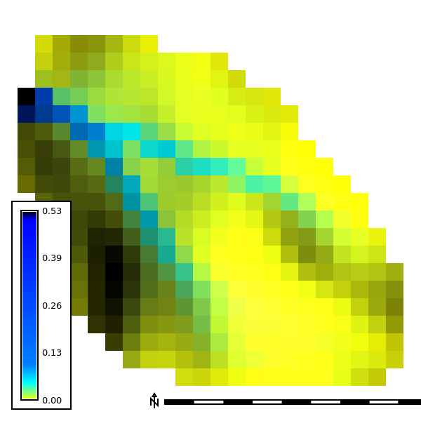
Mean water depth across the 10 seeds at the final output step of each run (walker density 2). The 30 m run drains this small basin quickly and ends at step 49; the finer resolutions run to step 120.
| 1 m | 3 m | 10 m | 30 m |
|---|---|---|---|
 |
 |
 |
 |