Overview
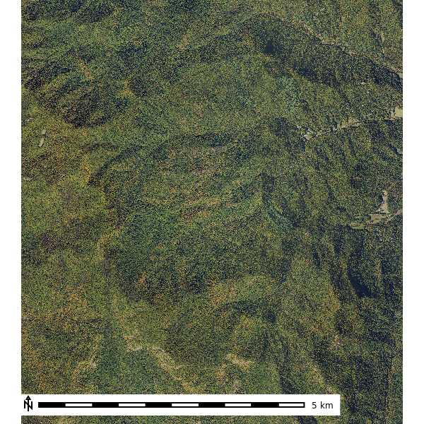
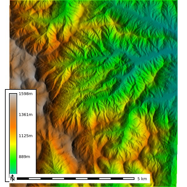
The Coweeta Hydrologic Laboratory sits in the southern Blue Ridge Mountains of western North Carolina, where steep slopes, dense mixed-hardwood canopy, and deep well-drained loams route most rainfall through subsurface pathways long before it reaches a channel. It is by far the most rugged site in the study: 944.8 m of relief over 57.17 km2, with an average roughness (ARS) of 5.5, more than an order of magnitude above the next-roughest site (SFREC at 0.37). Hydrologic soil groups are dominated by B, with pockets of C and D on thinner ridge soils.
That combination makes Coweeta a demanding test for overland flow simulation. Terrain routing is strong, but the soils absorb so much of the rainfall that a uniform-rainfall run badly overpredicts surface runoff. The Coweeta notebook develops the full soil-informed workflow here (i.e., SSURGO to curve number to rainfall excess to SIMWE) and compares it against the naive simulation shown below.
What this site demonstrates:
- The upper bound of terrain complexity: steep, dissected headwater catchments where flow converges quickly into a dense channel network.
- Why soil-informed rainfall excess matters most on forested, well-drained landscapes.
- Model behavior at 10 m resolution over the largest cell count in the ensemble apart from the Texas playas.
Site Details
| Location | Coweeta Hydrologic Laboratory, North Carolina |
| CRS | NAD83 / UTM zone 17N (EPSG:26917) |
| DEM resolution | 10 m |
| NAIP year | 2022 |
| Area | 57.17 km2 (572,246 cells) |
| Elevation | 652.8 - 1597.6 m (mean 1043.83 m) |
| Average roughness (ARS) | 5.5 |
NAIP Imagery and Derived Products

Geomorphology
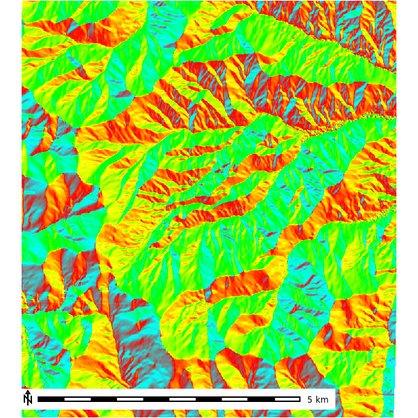
1st Order Derivatives

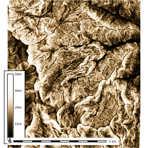
2nd order topographic derivatives
| Slope | Aspect | Geomorphon |
|---|---|---|
 |
 |
 |
| Profile Curvature | Planform Curvature |
|---|---|
 |
 |
Soils
Soil survey polygons come from SSURGO, rasterized by map unit key (MUKEY). The MUKEY raster links every cell to its soil map unit properties (e.g., hydrologic soil group, saturated hydraulic conductivity), which drive the curve-number and infiltration inputs to the simulations below.
| SSURGO MUKEY |
|---|
 |
Simulations
Overland flow is simulated with r.sim.water, the SIMWE path-sampling solution of the shallow-water flow equations. The default run applies a uniform 50 mm/hr rainfall with no infiltration and Manning’s n of 0.1, writing water depth (m) and unit discharge (m3/s) every 2 minutes over a 10-minute event. Spatial patterns therefore reflect terrain routing alone; the ground water and sensitivity sections below relax these assumptions.
Default Parameters
Depth
| 2 Min | 4 Min | 6 Min | 8 Min | 10 min |
|---|---|---|---|---|
 |
 |
 |
 |
 |

Discharge
| 2 Min | 4 Min | 6 Min | 8 Min | 10 Min |
|---|---|---|---|---|
 |
 |
 |
 |
 |
Ground Water
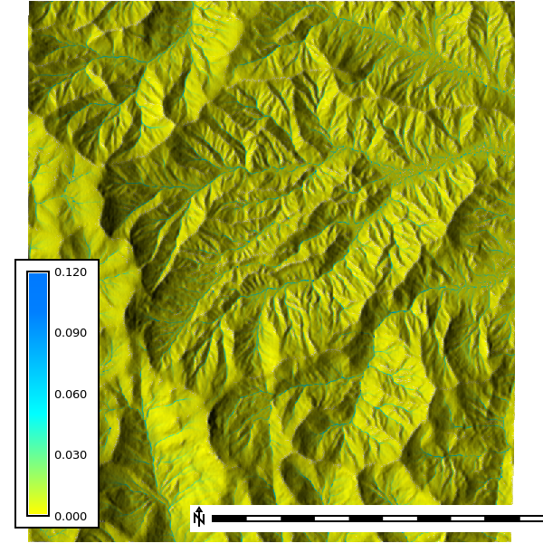
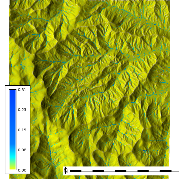
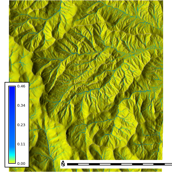
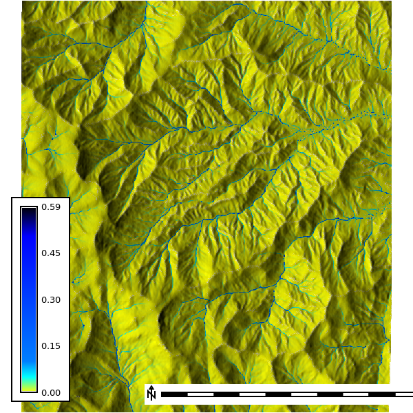
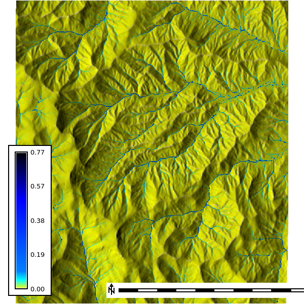
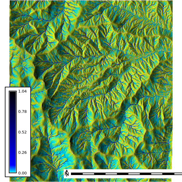
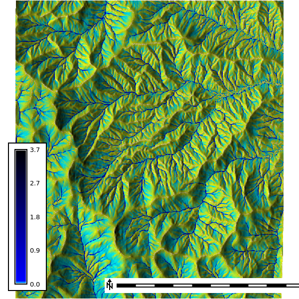
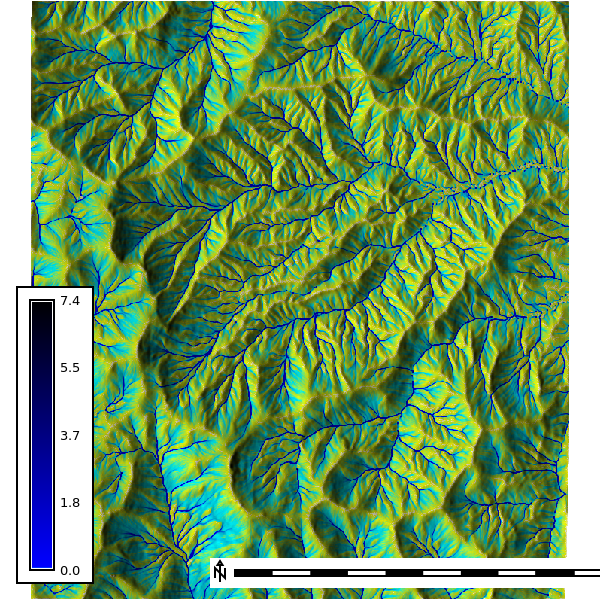
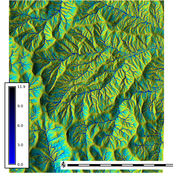
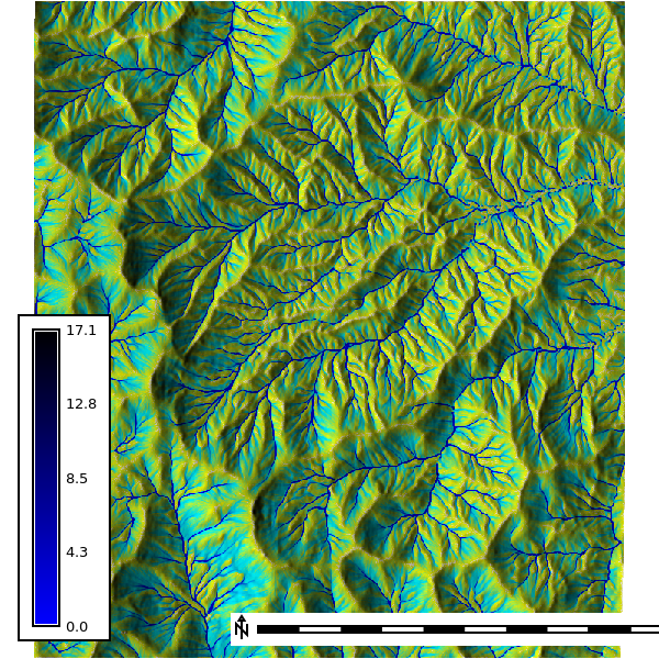
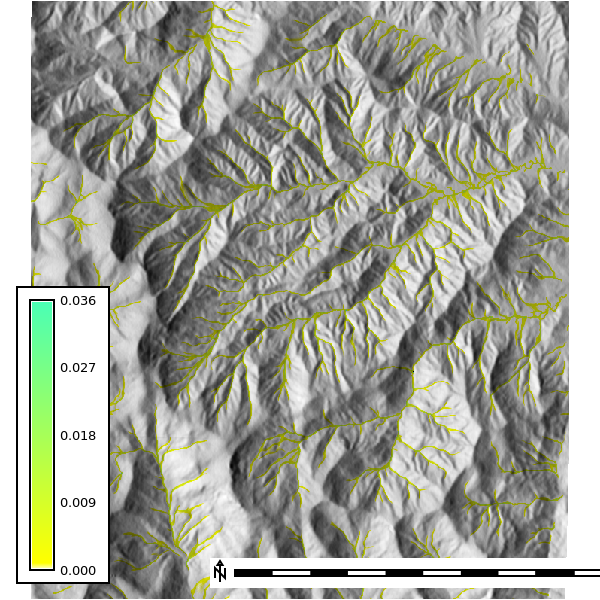
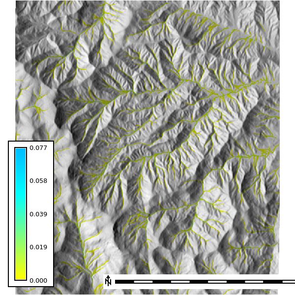
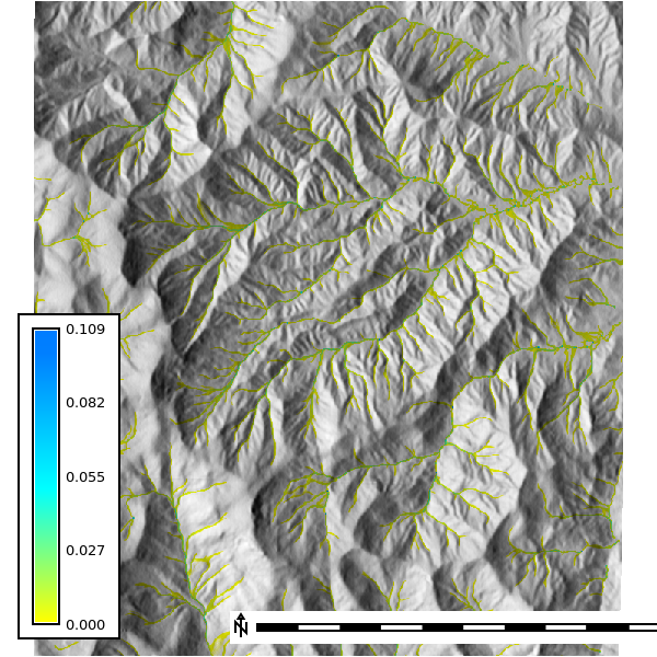
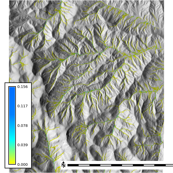
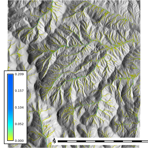
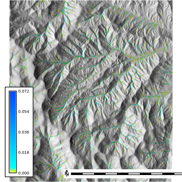
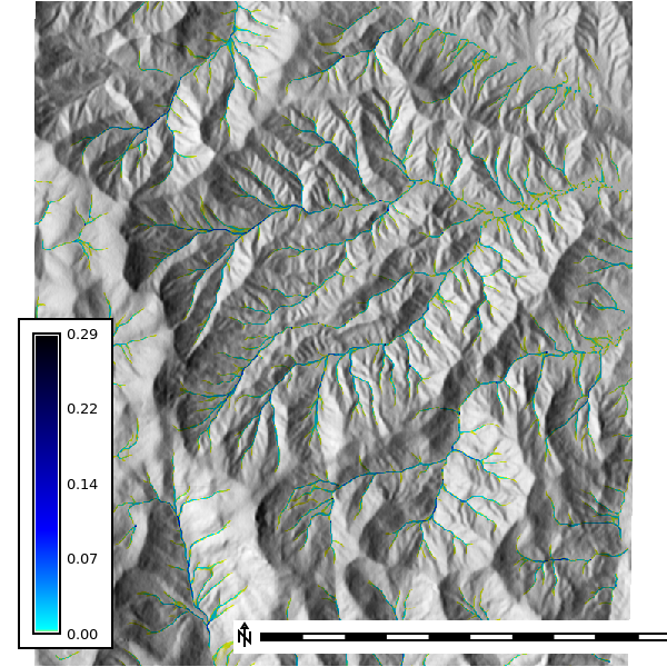
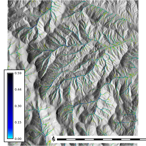
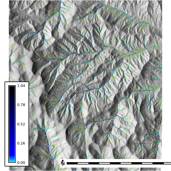
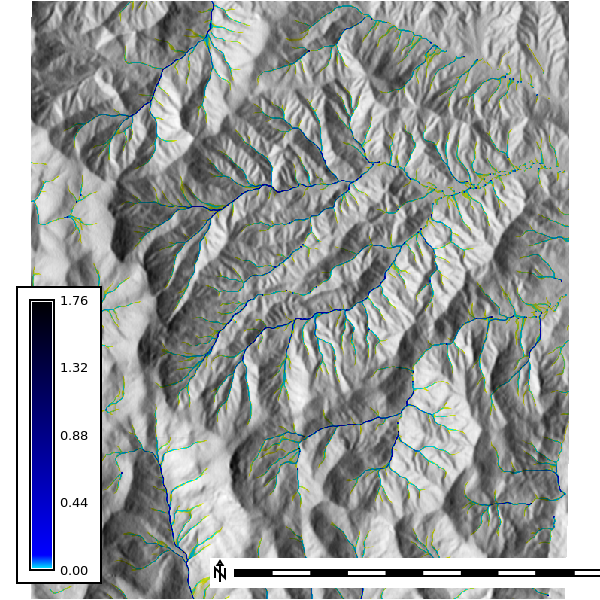
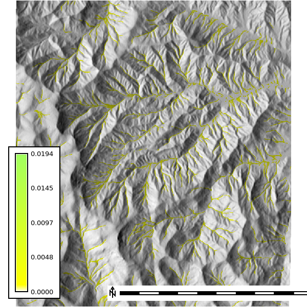
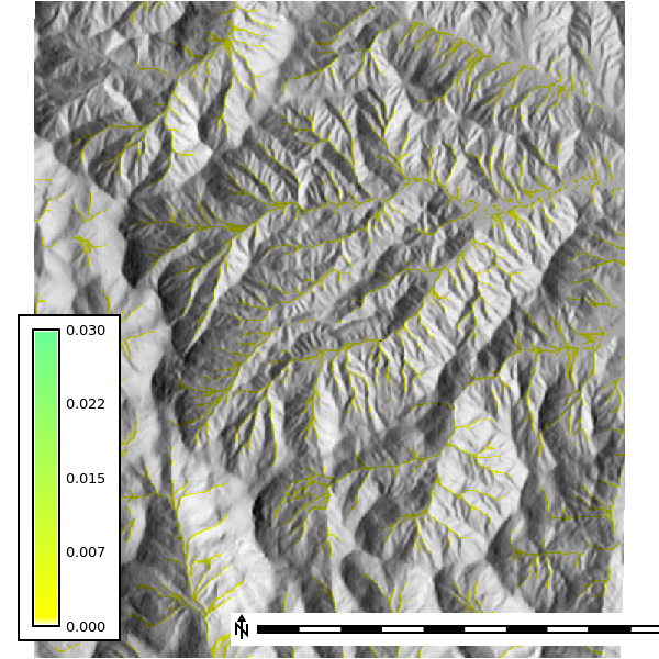
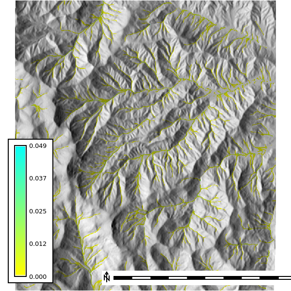
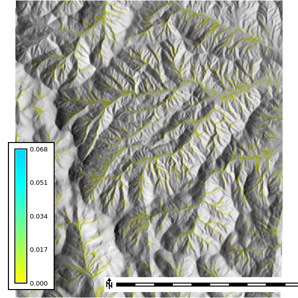
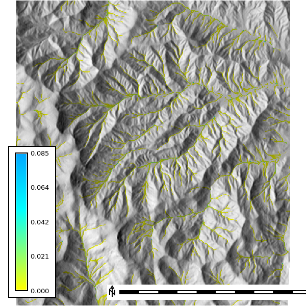
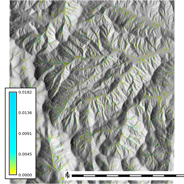
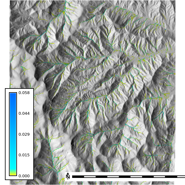
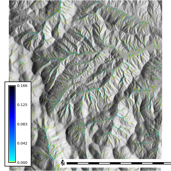
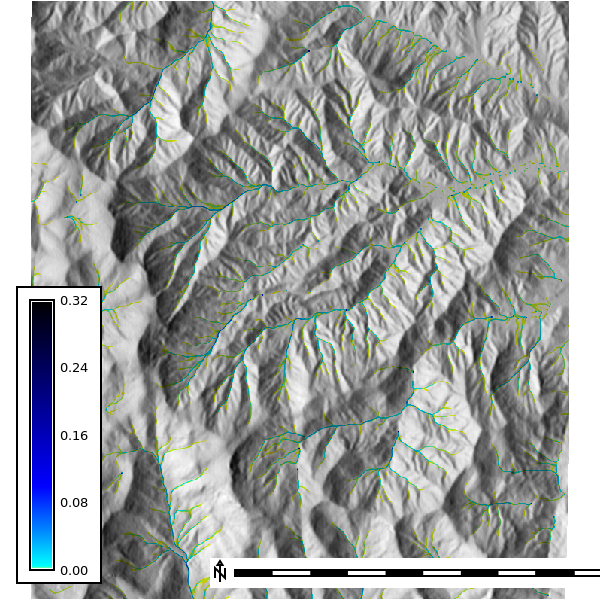
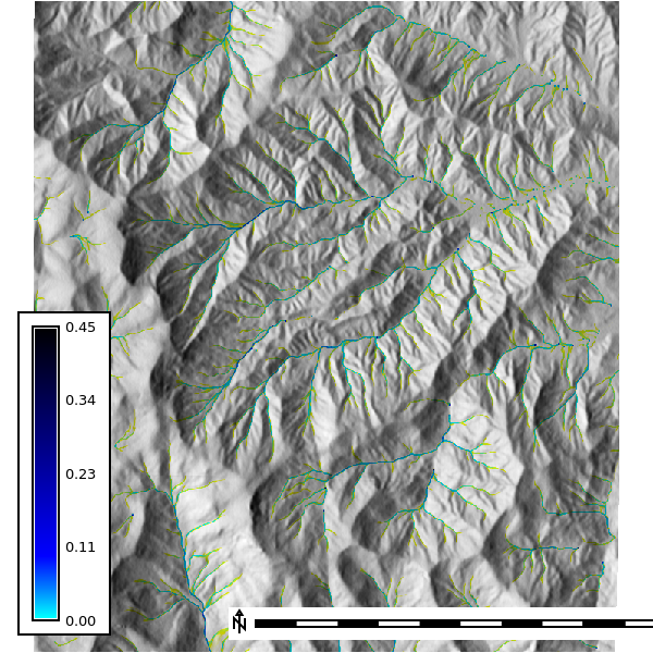
These runs replace the uniform rainfall input with stream-fed sources derived from flow accumulation, using 500,000 walkers and a 4-minute output step (scripts/groundwater.py). Three scenarios are simulated: groundwater seepage in streams during a 10 mm/hr rainfall, seepage with no rainfall, and springs at first-order streams only. Depth is in meters, discharge in m3/s.
Depth - Groundwater seepage in streams during rainfall
| 4 Min | 8 Min | 12 Min | 16 Min | 20 Min |
|---|---|---|---|---|
 |
 |
 |
 |
 |
Discharge - Groundwater seepage in streams during rainfall
| 4 Min | 8 Min | 12 Min | 16 Min | 20 Min |
|---|---|---|---|---|
 |
 |
 |
 |
 |
Depth - Groundwater seepage in streams, no rainfall
| 4 Min | 8 Min | 12 Min | 16 Min | 20 Min |
|---|---|---|---|---|
 |
 |
 |
 |
 |
Discharge - Groundwater seepage in streams, no rainfall
| 4 Min | 8 Min | 12 Min | 16 Min | 20 Min |
|---|---|---|---|---|
 |
 |
 |
 |
 |
Depth - Springs
| 4 Min | 8 Min | 12 Min | 16 Min | 20 Min |
|---|---|---|---|---|
 |
 |
 |
 |
 |
Discharge - Springs
| 4 Min | 8 Min | 12 Min | 16 Min | 20 Min |
|---|---|---|---|---|
 |
 |
 |
 |
 |
Sensitivity Analysis
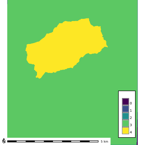
The sensitivity analysis re-runs the simulation across DEM resolutions of 1, 3, 10, and 30 m and walker densities of 0.25 to 2 walkers per cell, with 10 random seeds per combination and 120 one-minute iterations (scripts/sensitivity.py). The watershed extent is delineated at each resolution with a 30,000-cell accumulation threshold.
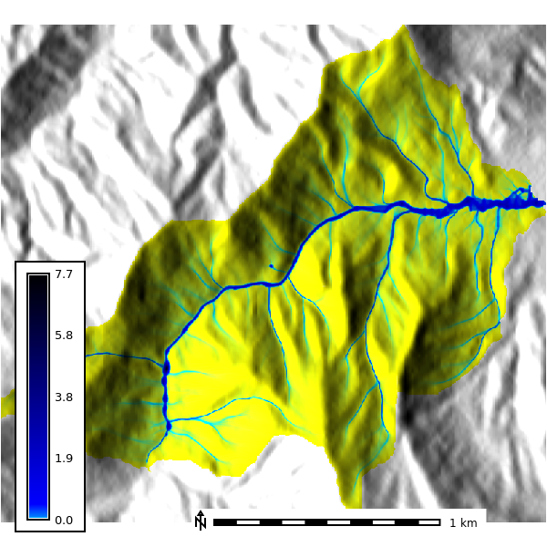
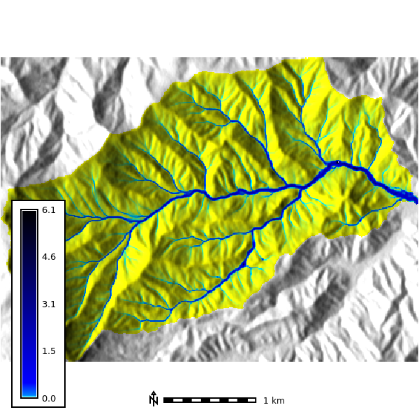
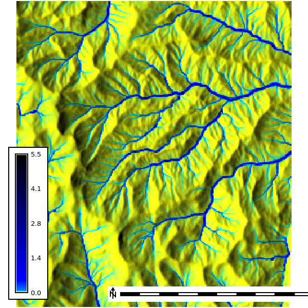
Basin extent by resolution
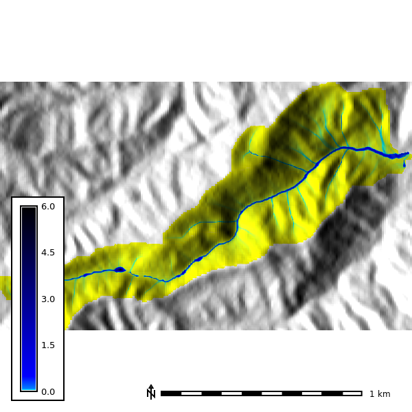
Seed-averaged depth by resolution
Mean water depth across the 10 seeds at the final output step of each run (walker density 2).
| 1 m | 3 m | 10 m | 30 m |
|---|---|---|---|
 |
 |
 |
 |