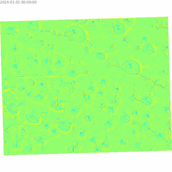
TX069-PLAYAS, Texas
Project Info
- Unit of measure: meters
- EPSG: 32613
- CRS: WGS 84 / UTM zone 13N
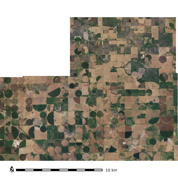
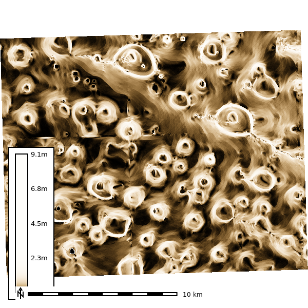
NAIP Imagery and Derived Products
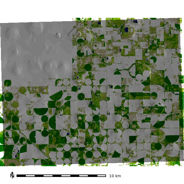
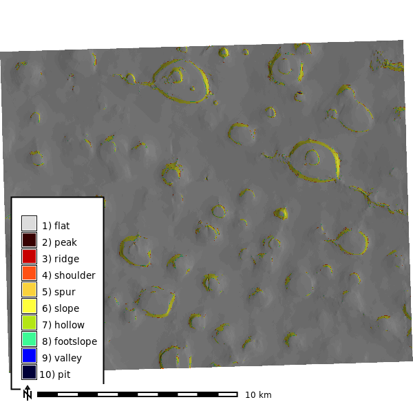
Geomorphology
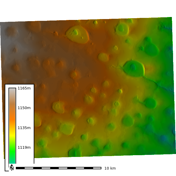
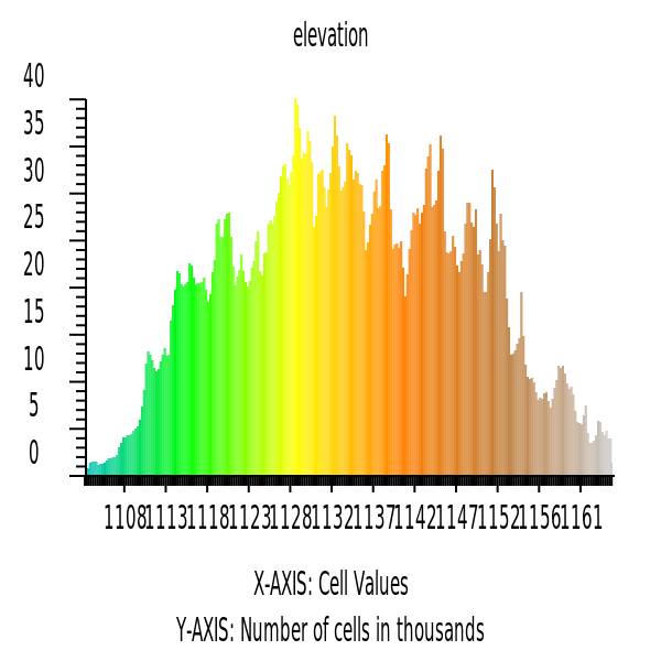
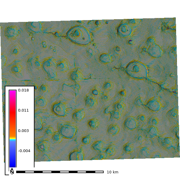
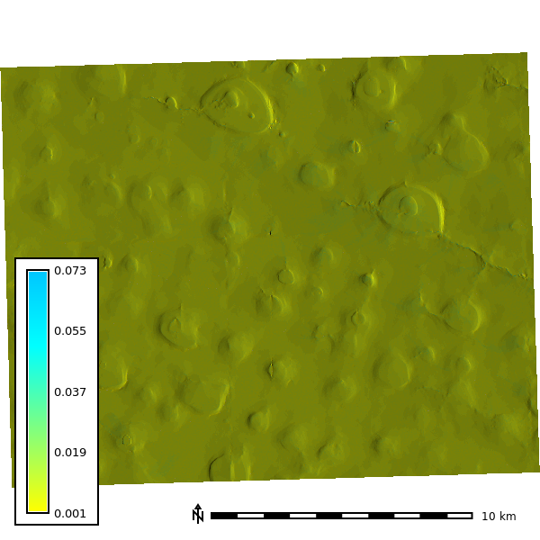
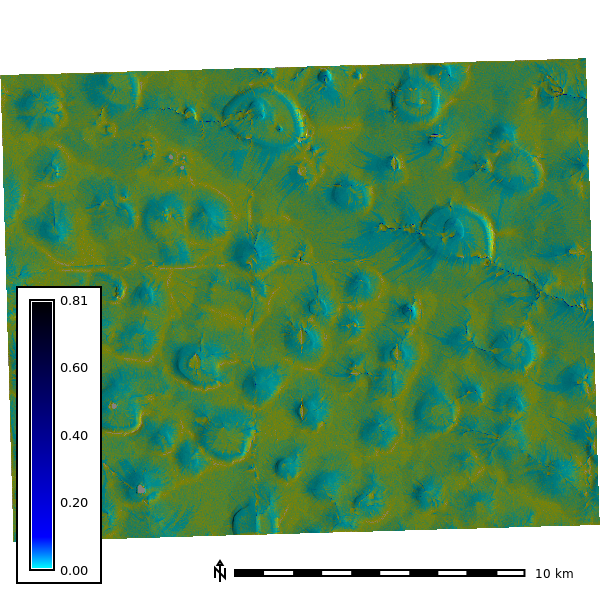
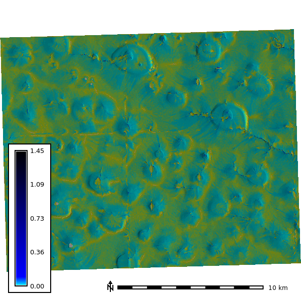
1st Order Derivatives
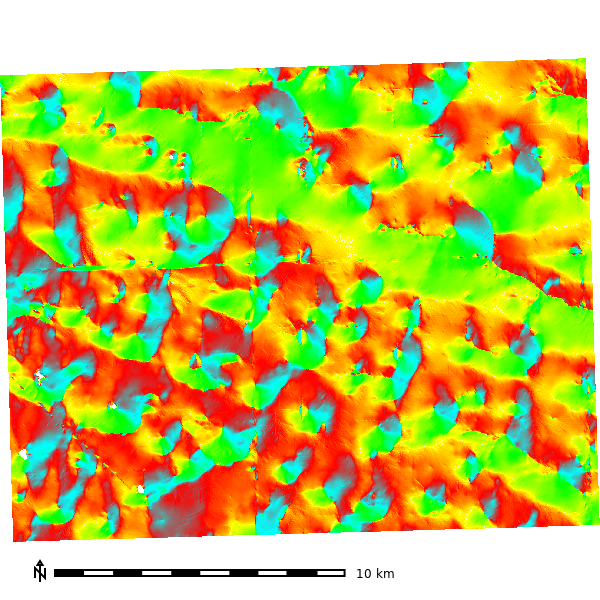
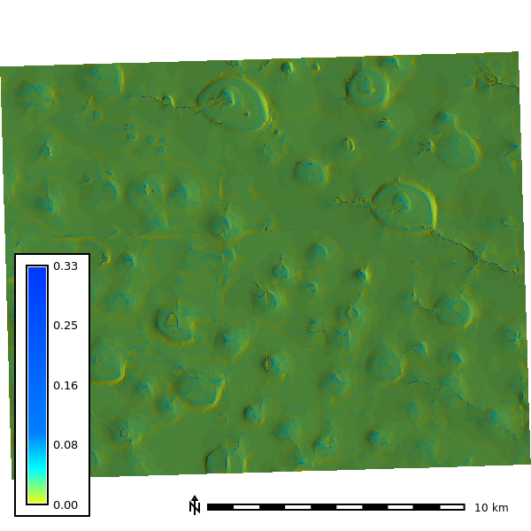
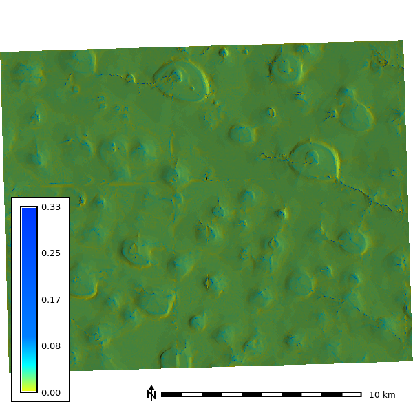
Figure 2: Digital Elevation Model (DEM) & Historgram
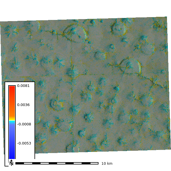
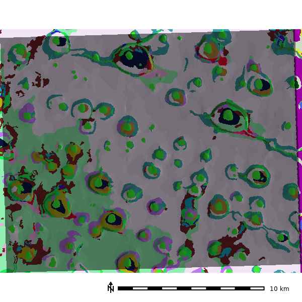
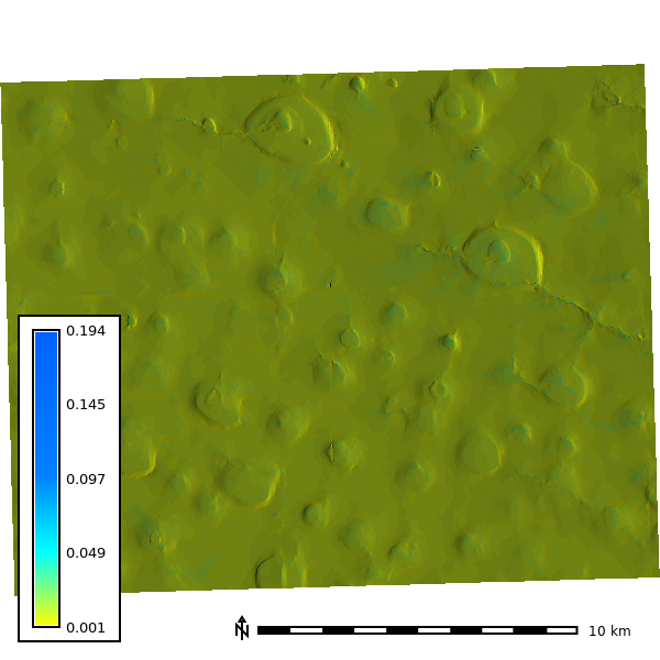
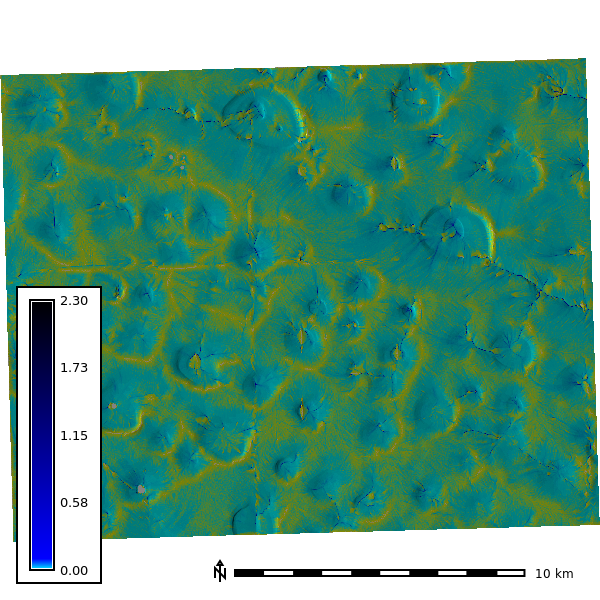
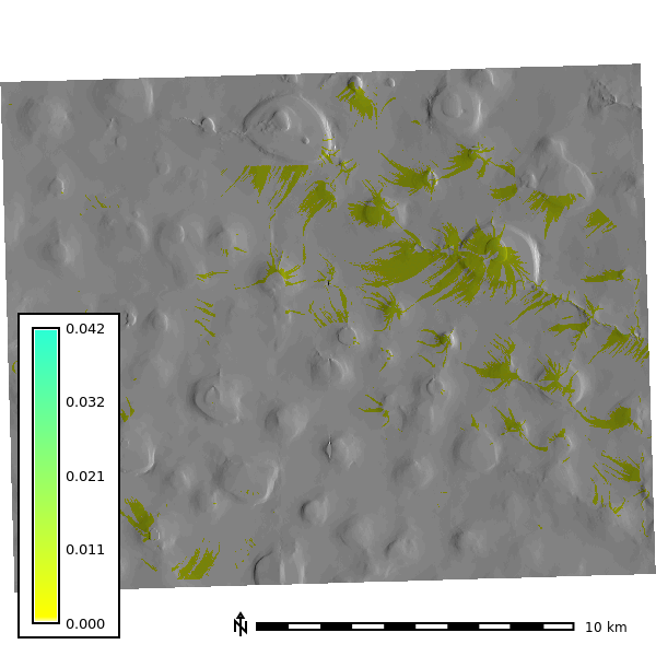
2nd order topographic derivatives
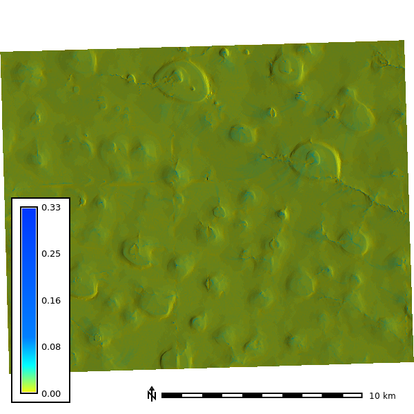
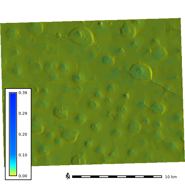
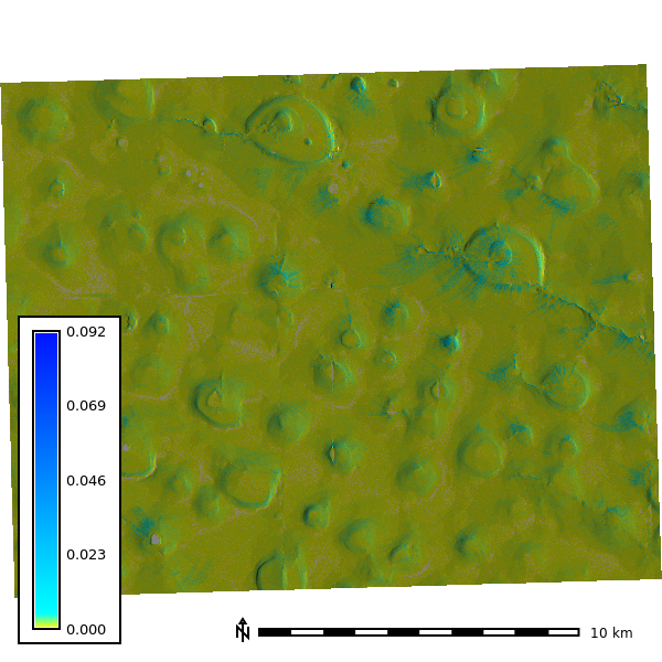
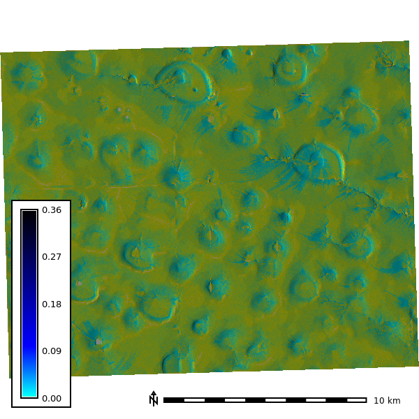
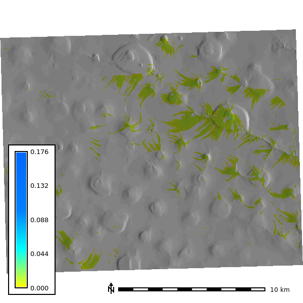
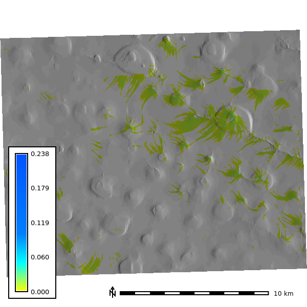
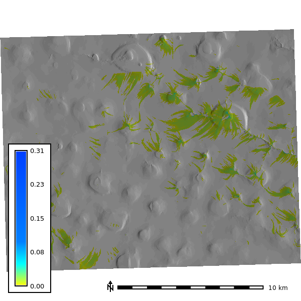
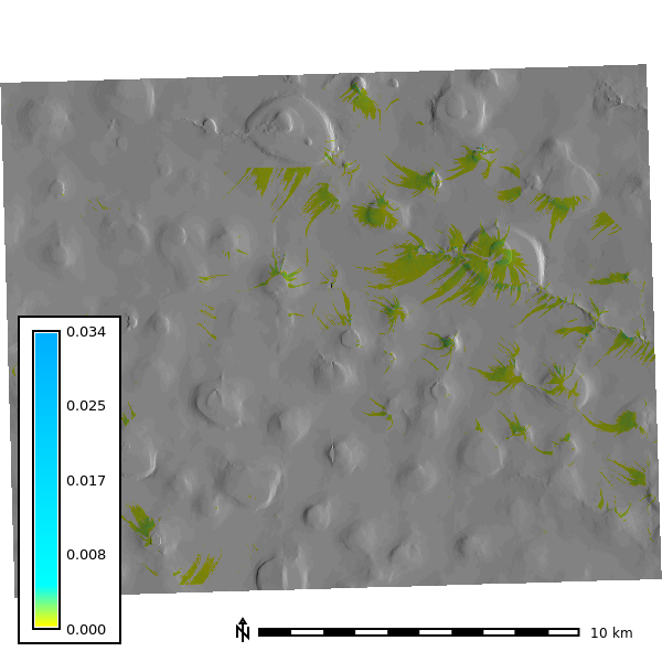
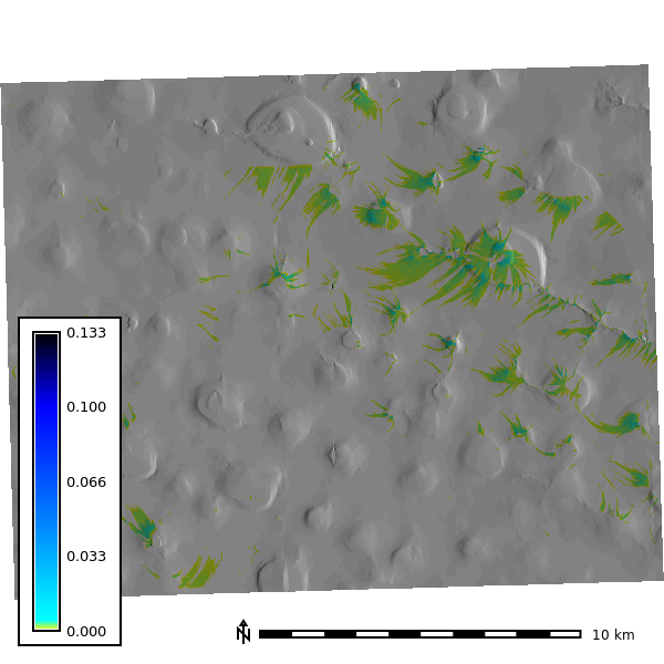
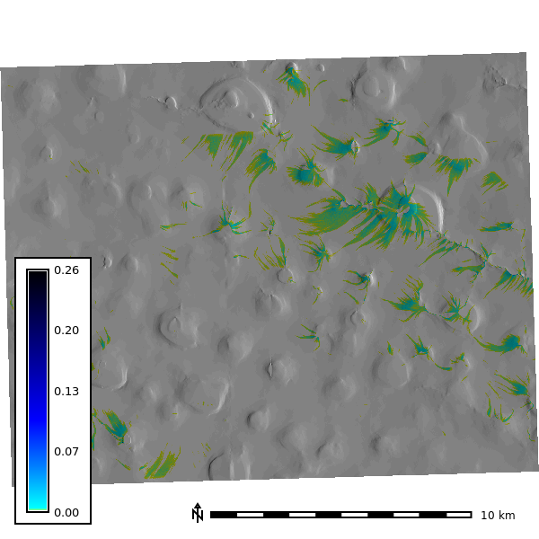
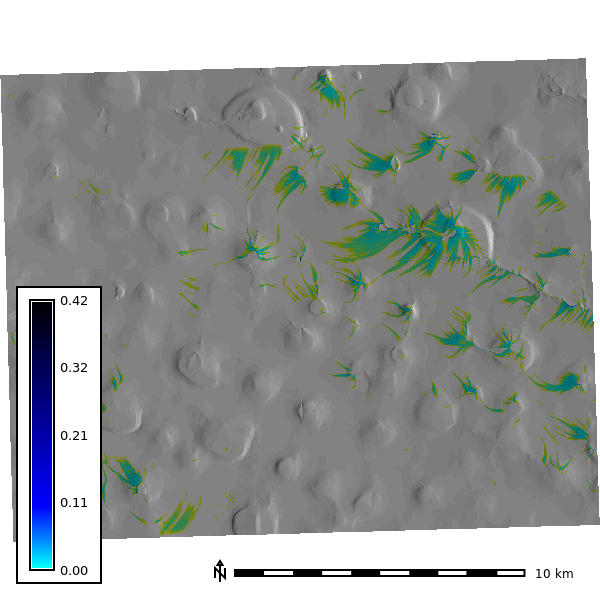
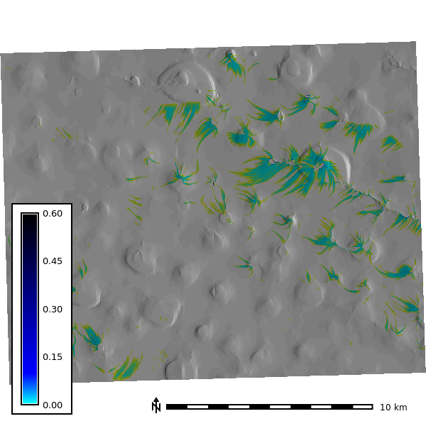
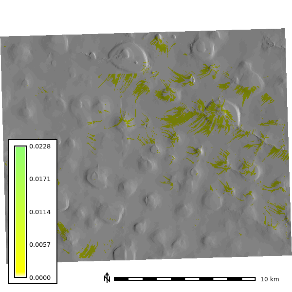
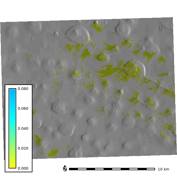
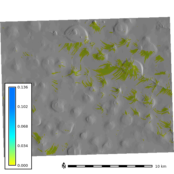
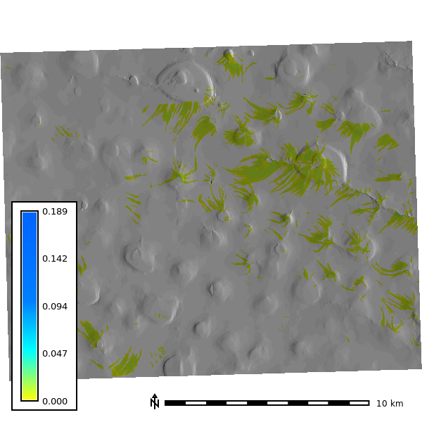
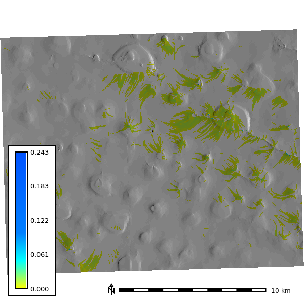
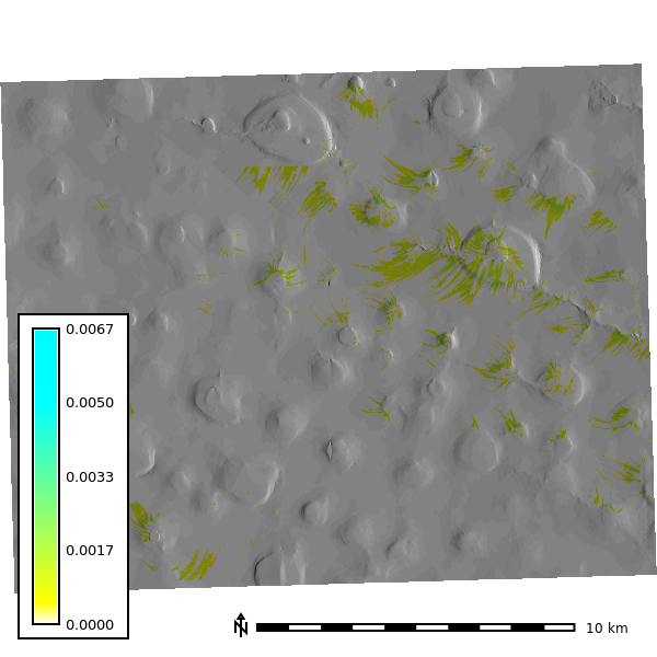
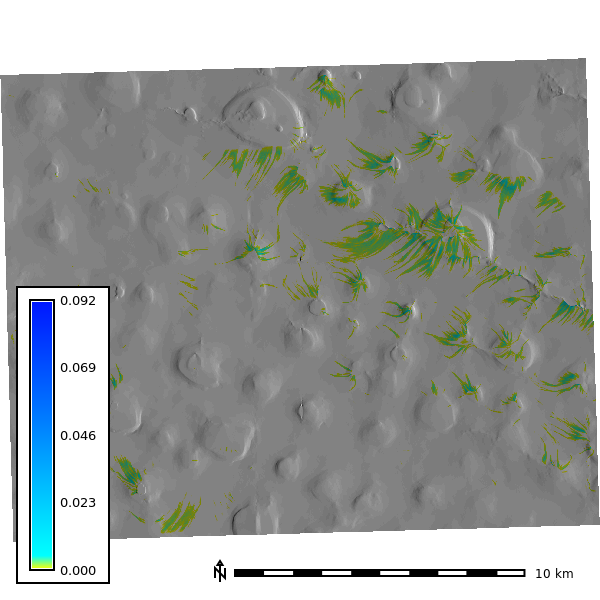
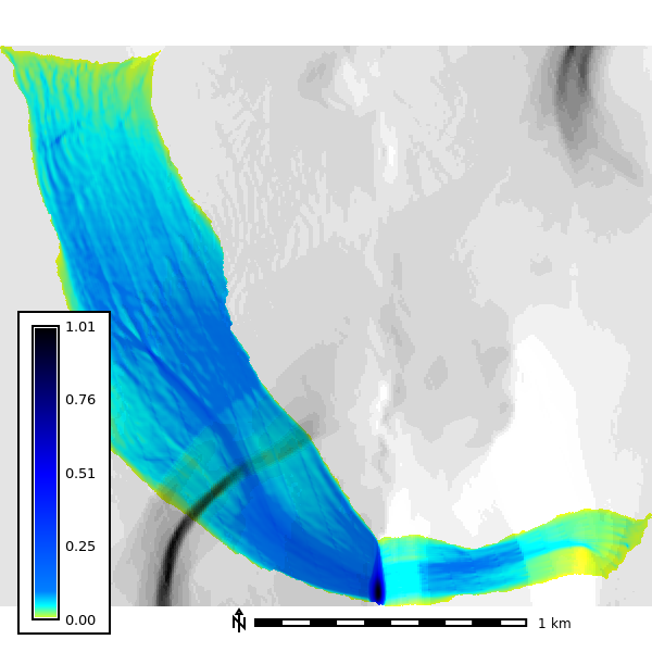
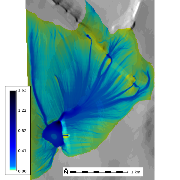
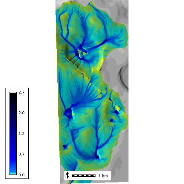
Ground Water
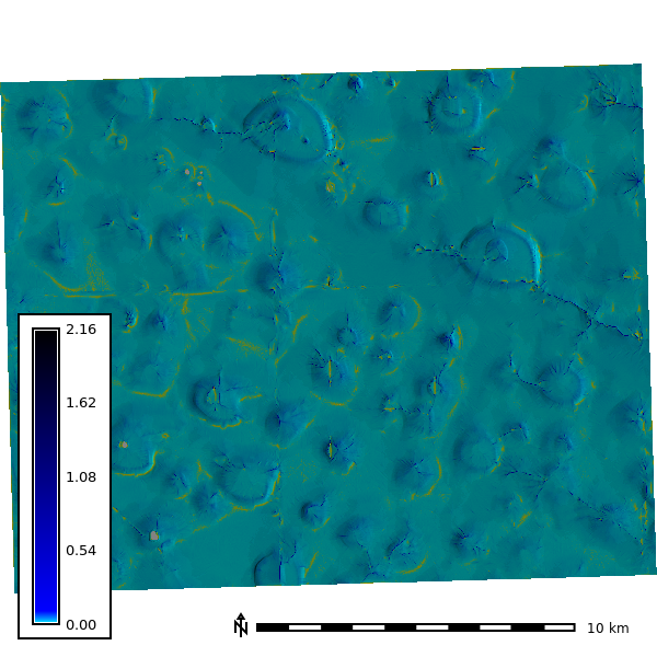
Depth - Simulated with groundwater seepage in streams with rainfall (10 mm/hr)
Discharge - Simulated with groundwater seepage in streams with rainfall (10 mm/hr)
Depth - Simulated with groundwater seepage in streams no rainfall
Discharge - Simulated with groundwater seepage in streams no rainfall
Depth - Simulated with springs
Discharge - Simulated with springs
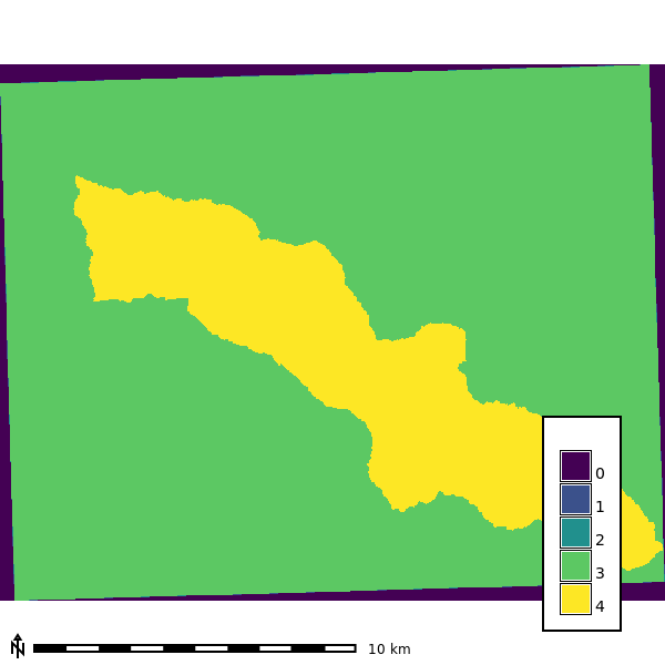
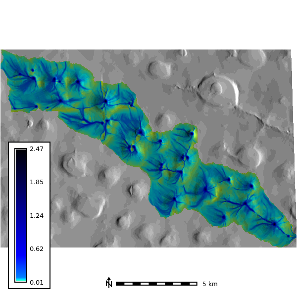
Sensitivity Analysis
Variable Basin Extents based on resolution
Variable Spatial Resolution based on watershed extent (30k) at resolution at output step 120