Topographic Impacts of Hurricane Helene
in Western North Carolina

Center for Geospatial Analytics at NC State University
U.S. Amry Corps of Engineers, Engineer Research and Development Center (ERDC)
2025-04-16
Sponsors






Hurricane Helene
Sept 24 - 27, 2024
Makes landfall off the Florida Coast
Category __ 4__
Massive inland flooding
__ 34 flash flood emergencies__
~250 Fatalities
$78.8 billion dollars of
estimated damage
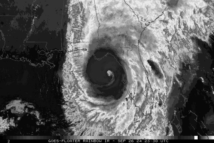
Hagen et al. 2025
Imagery
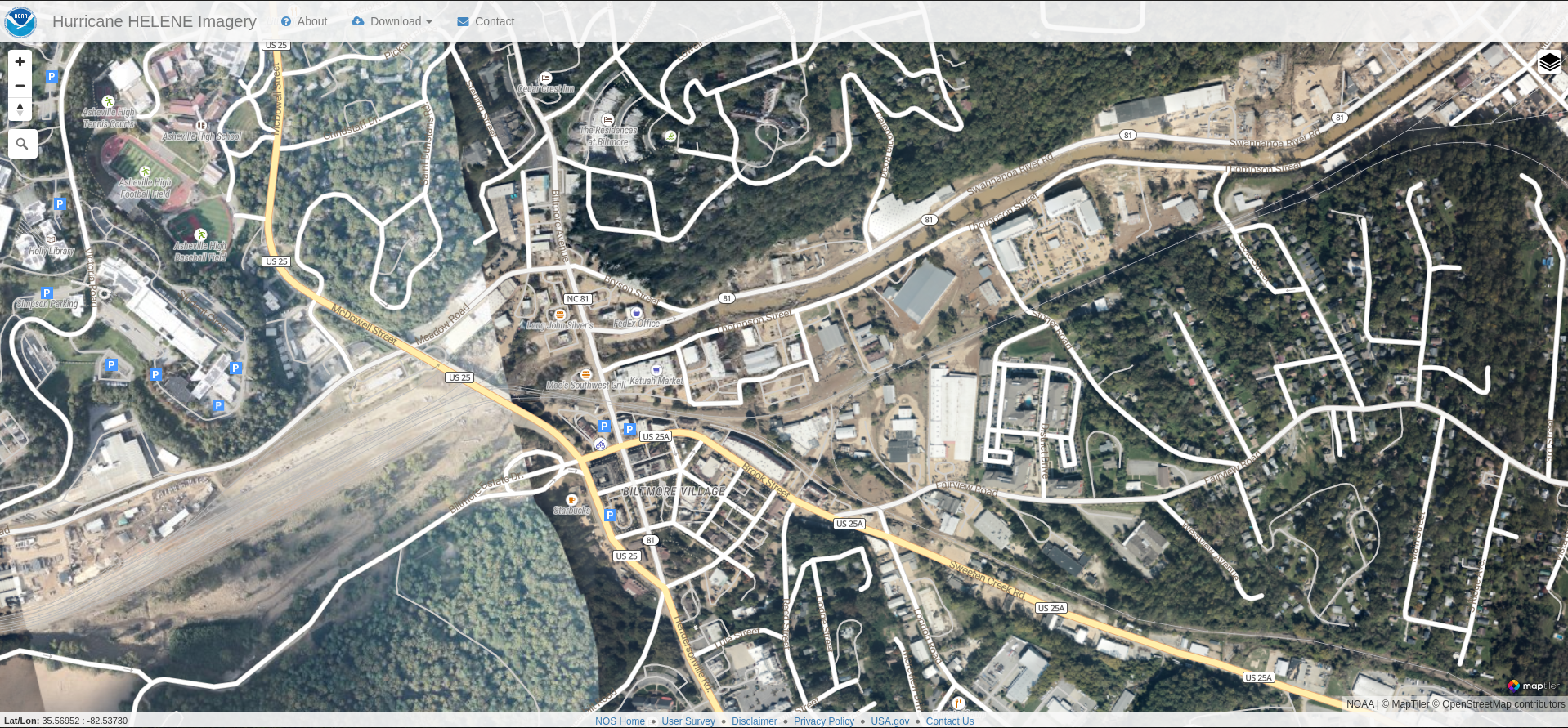
https://storms.ngs.noaa.gov/storms/helene/index.html#15.42/35.568578/-82.540574
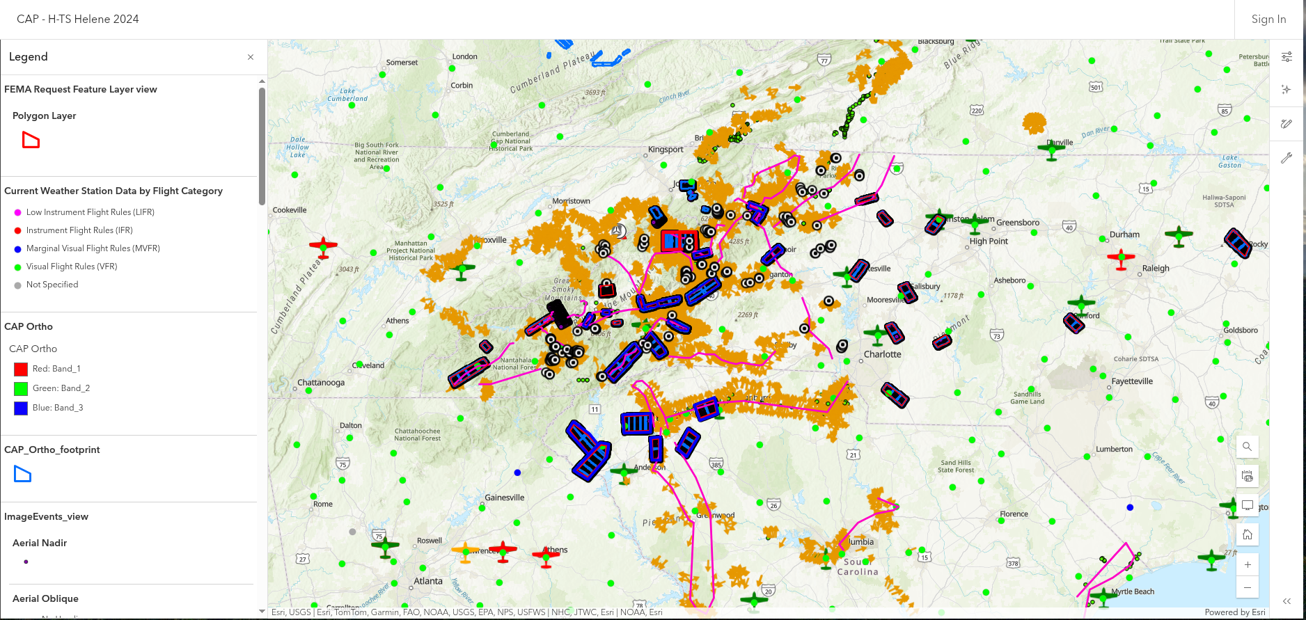
- Civil __ Air Patrol Flights__
- Takes aerial __ __ imagery __ after natural disasters__
- Satellite __ __
- Cloud cover or smoke can prevent clear imaging of impacted areas
- UAS
- Good for capturing smaller areas
- Hard to capture areas that are unacceptable
- Destroy road
- Debris
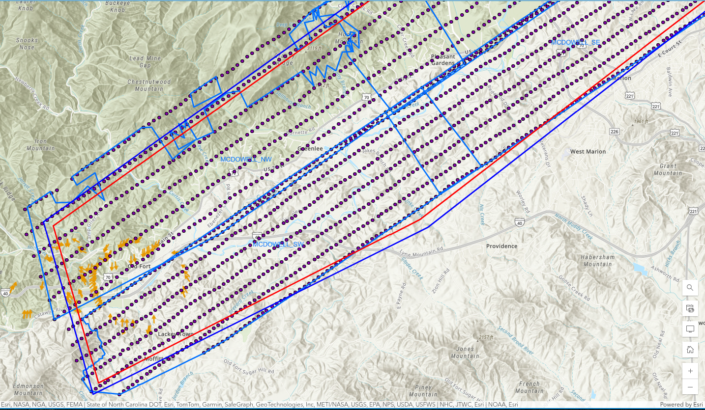
Flight Vector Data: https://services.arcgis.com/XG15cJAlne2vxtgt/ArcGIS/rest/services/Image_Points_view/FeatureServer/3/query
Topographic Products
- Provide emergency managers with actionable insights by identifying
- Location
- Extent
- Volume
- To help estimate and p rioritized resources to address
- Structural Damages
- Buildings
- Bridges
- Roads
- Erosion and Deposition
- Landslides
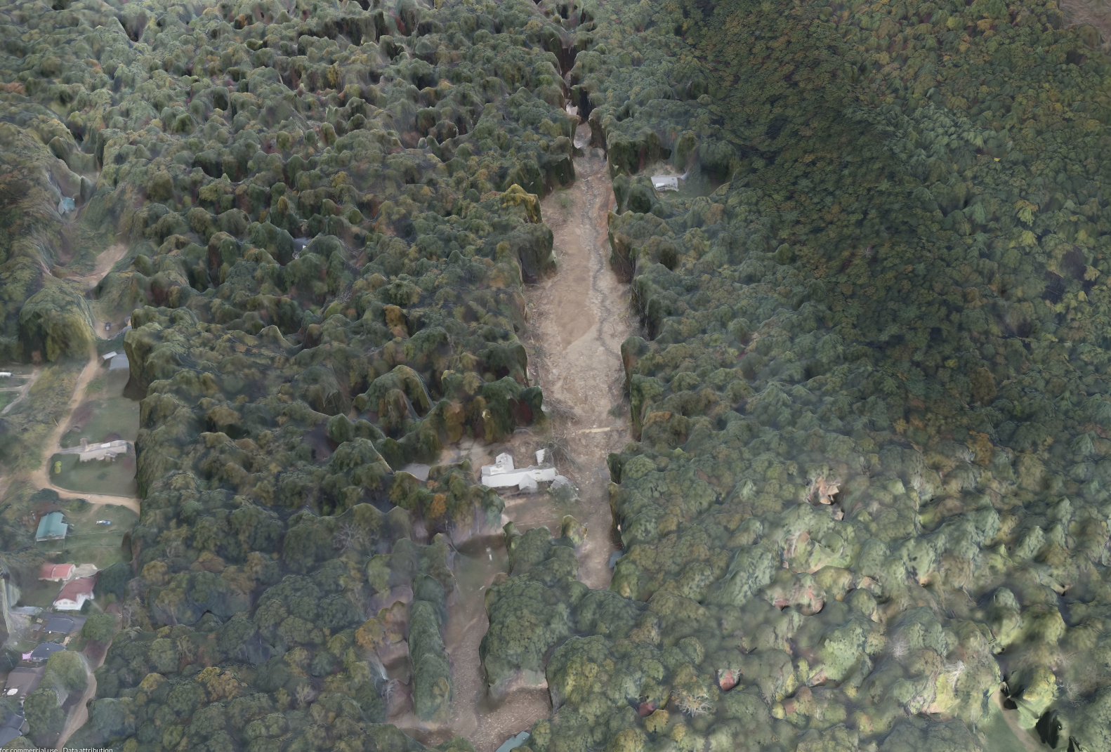
Challenges
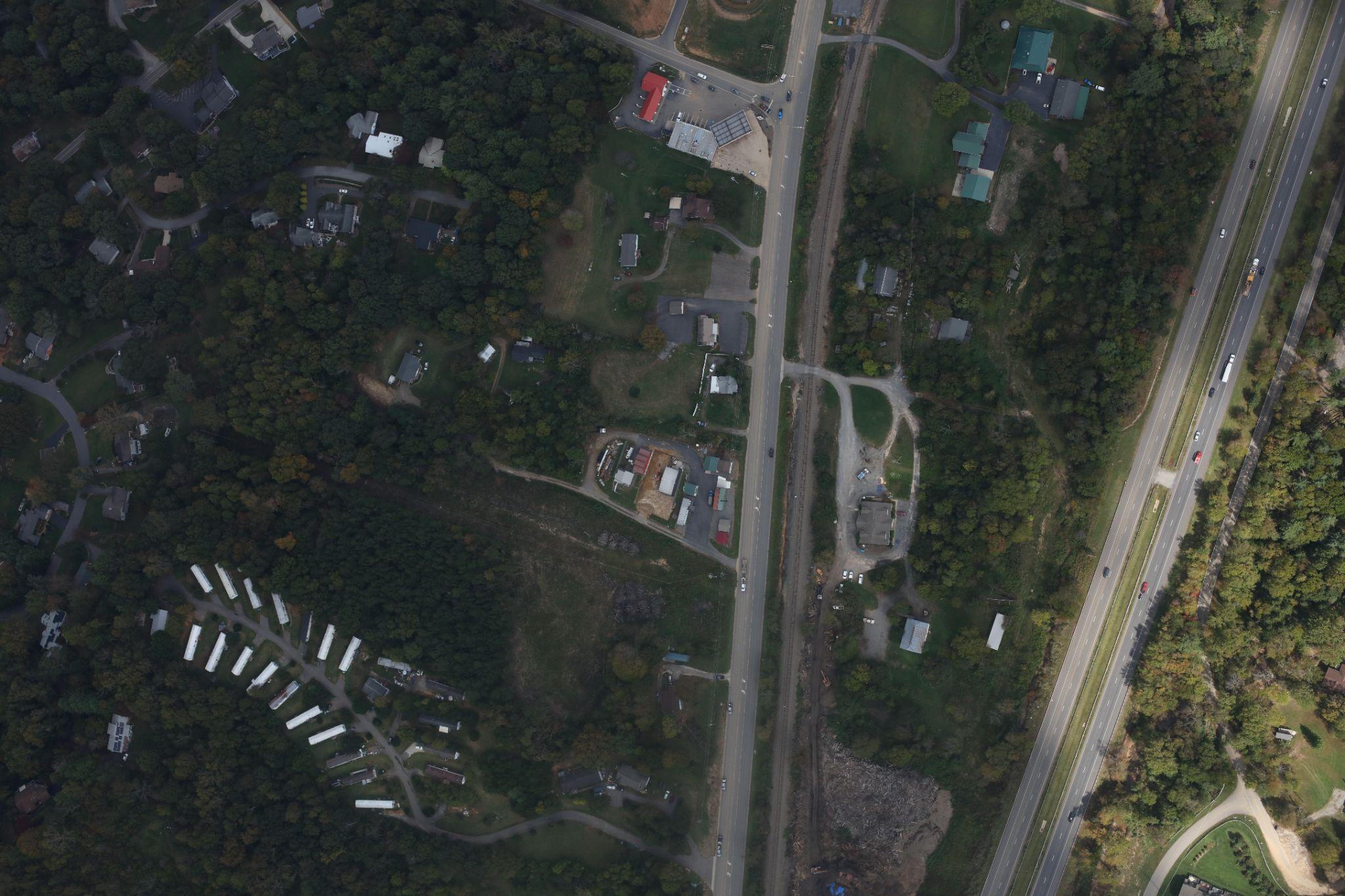
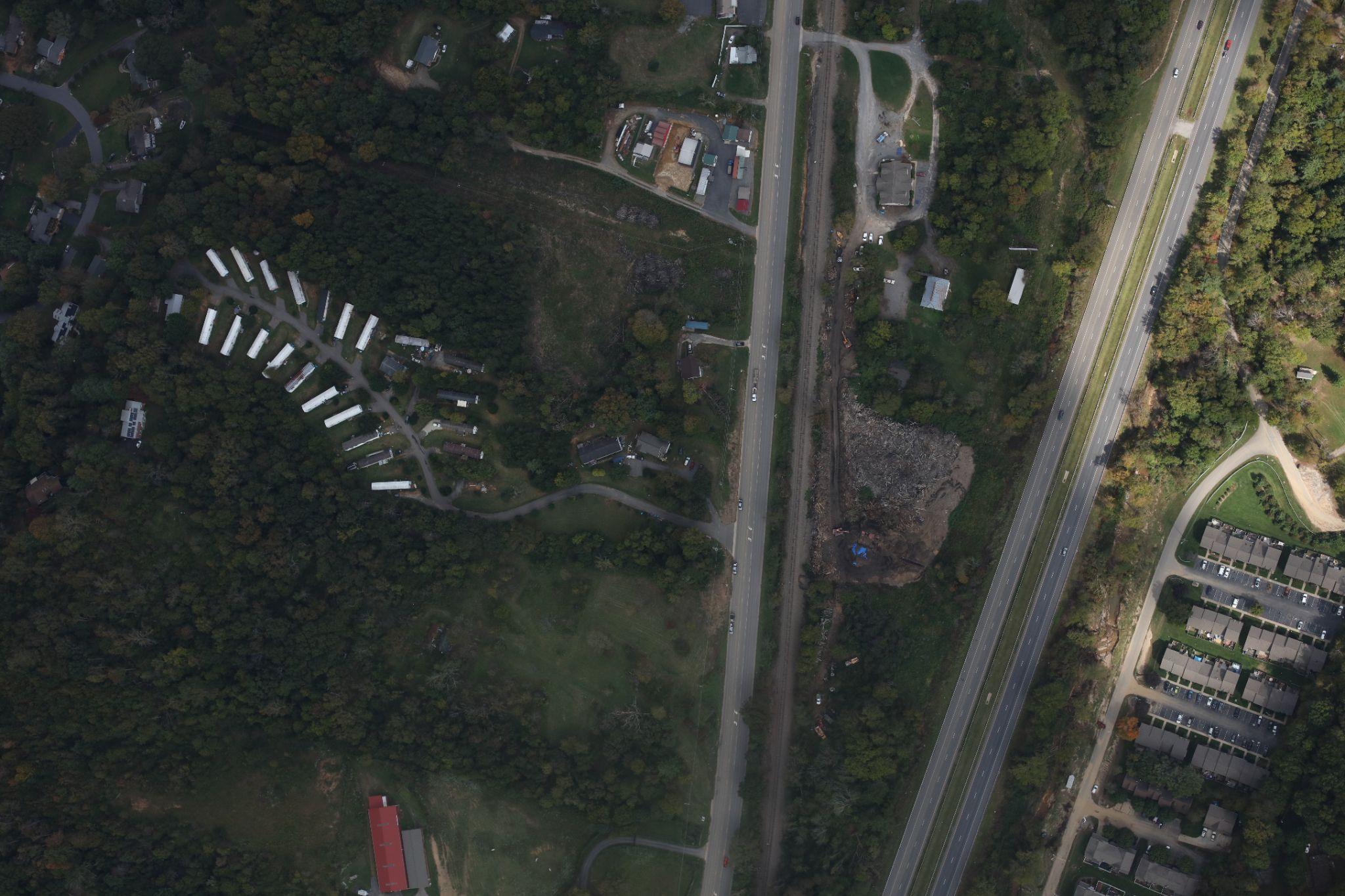
What about LiDAR?
LiDAR is expensive and hard to coordinate and process rapidly
Photogrammetry and SfM
Lots of data to process quickly
No Ground Control Points
Large Forested Areas
F lights flown for imagery collection
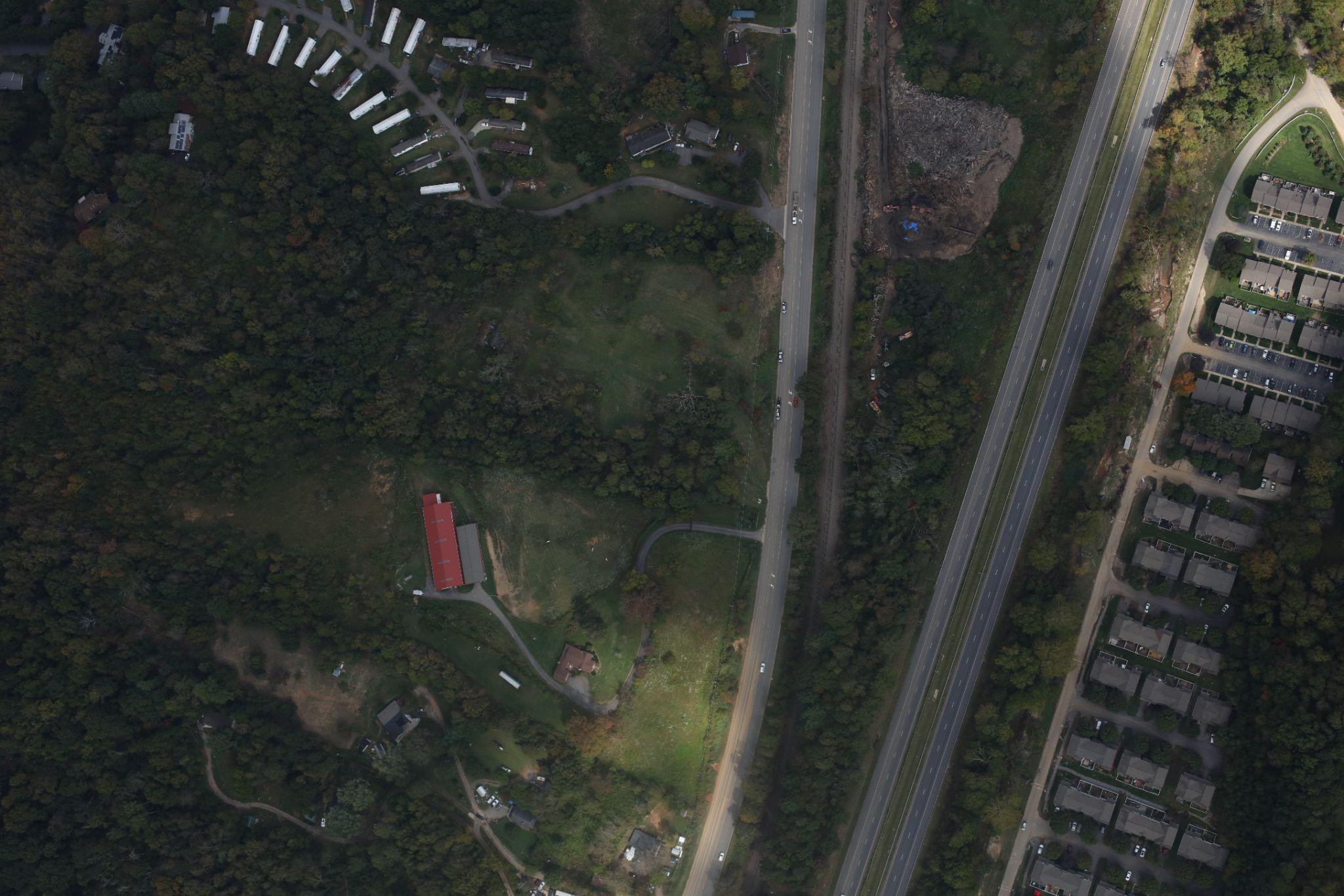
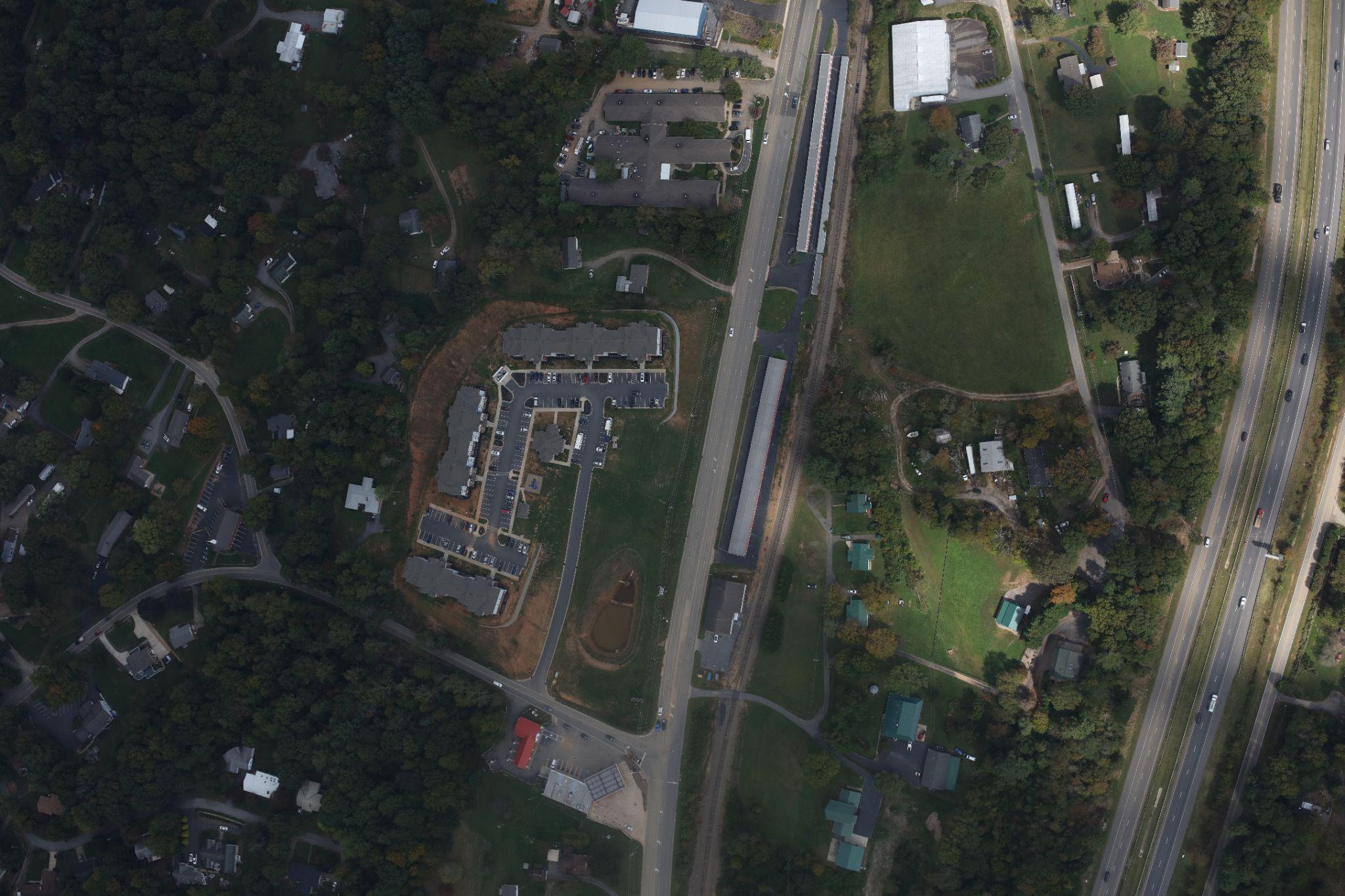
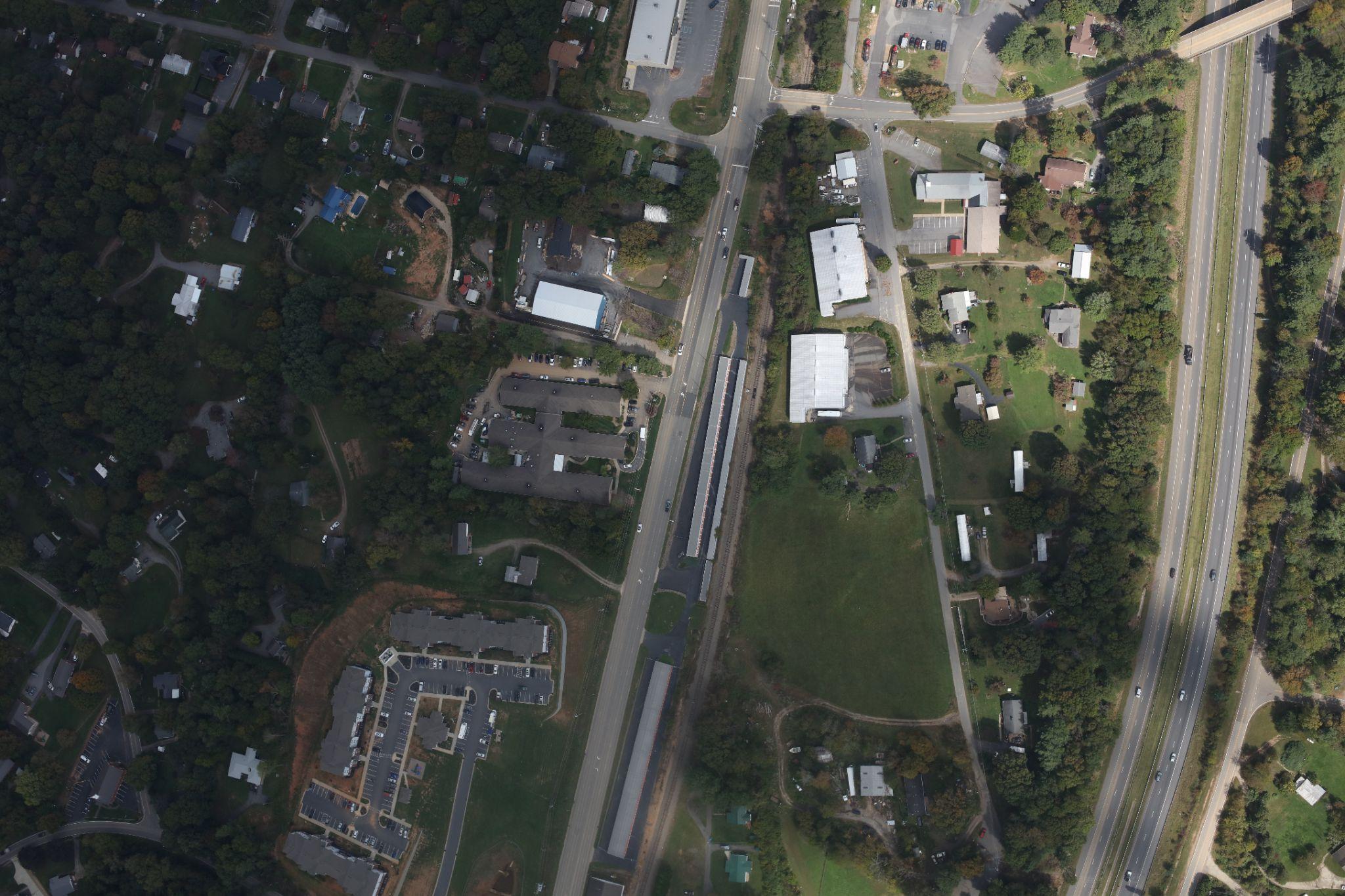
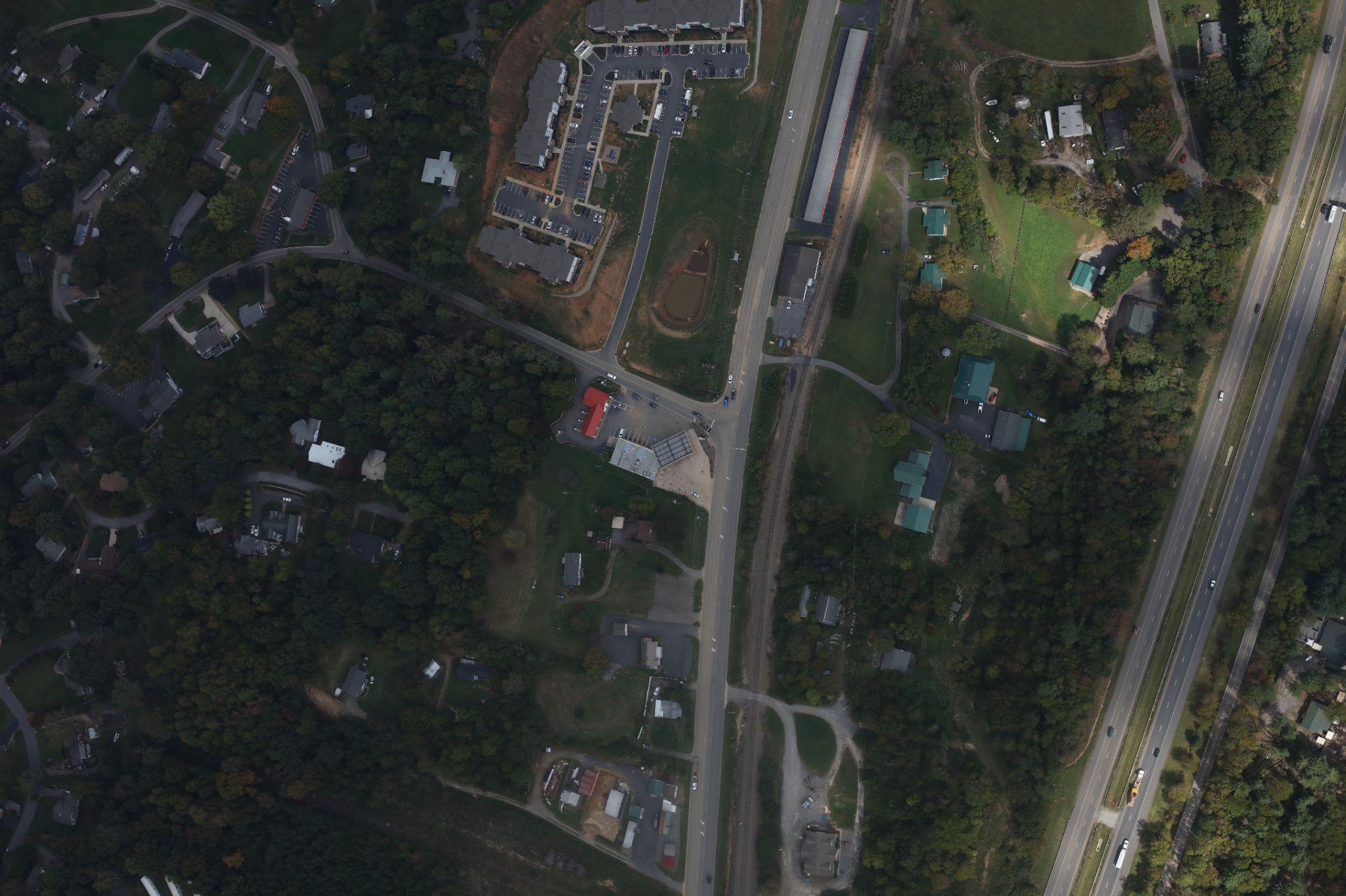
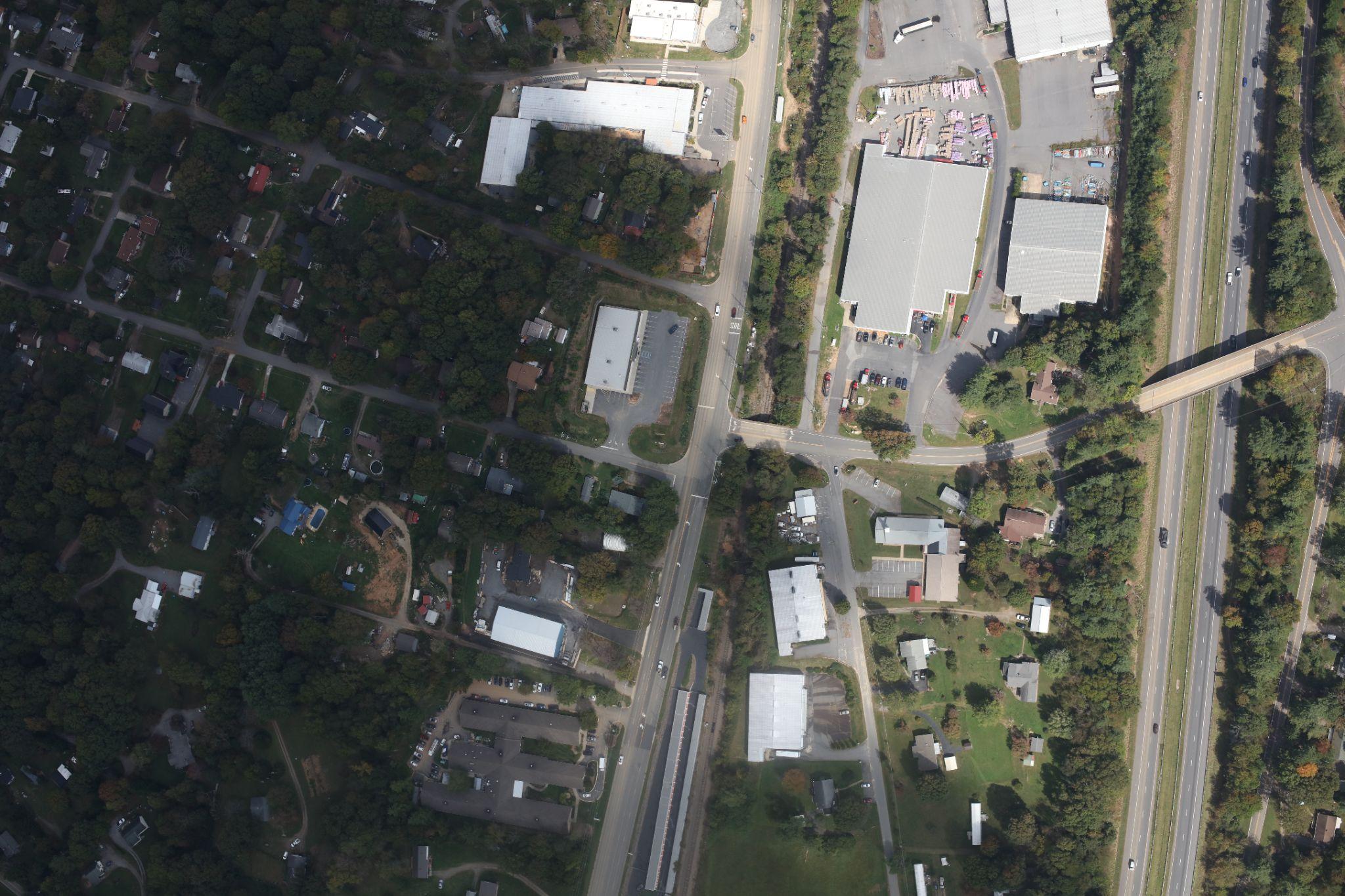
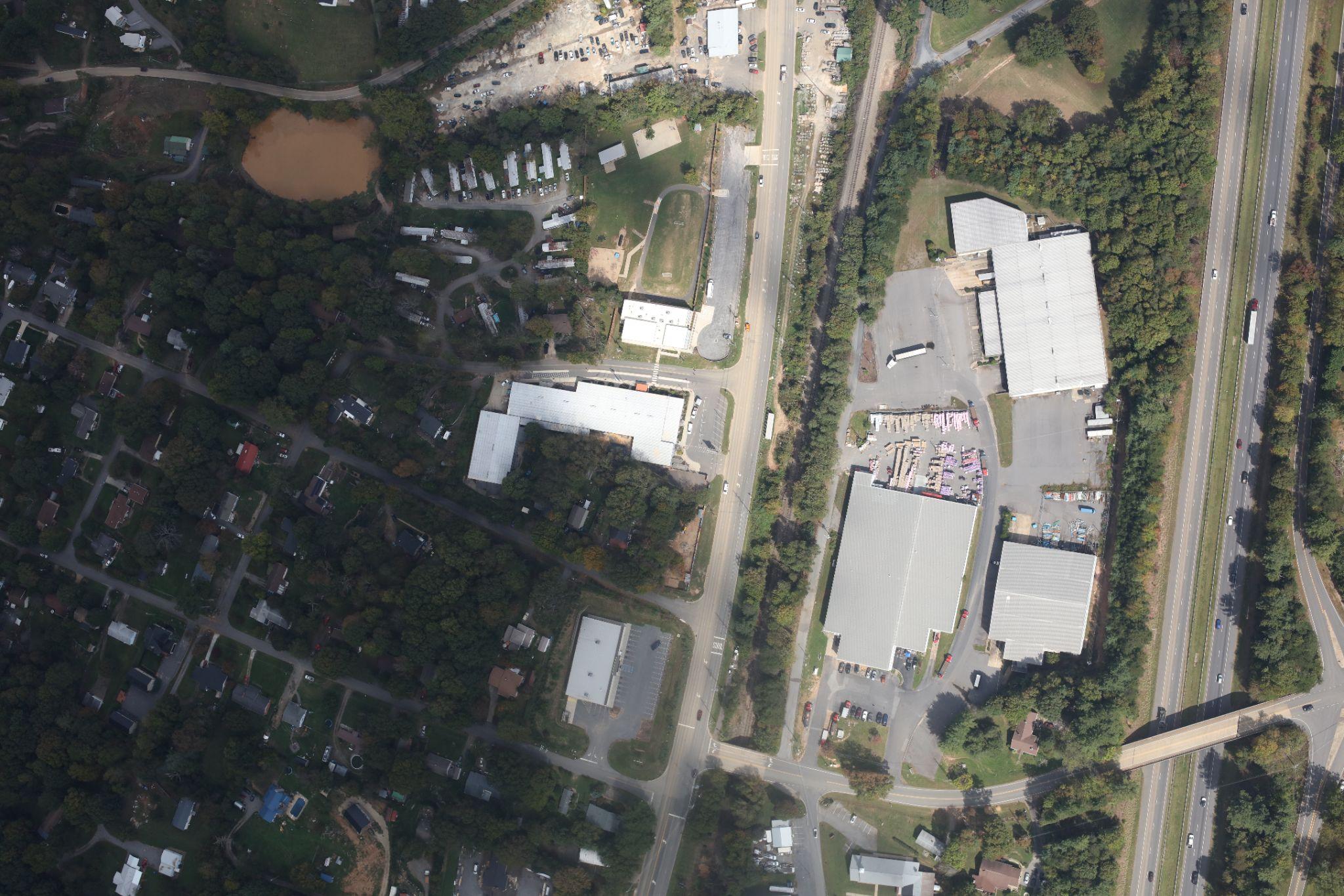
UAS Mapping and
Analysis
- With Guidance __ from U.S. Army Corps of Engineers (Dr. Reckling)__
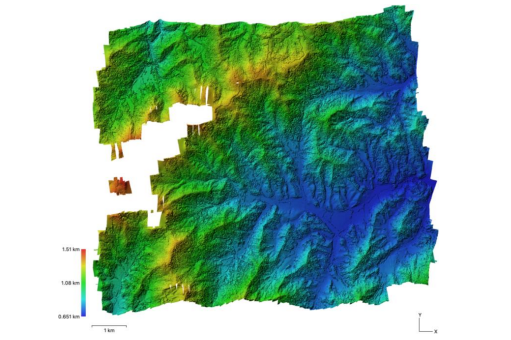
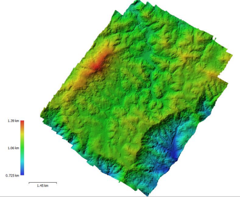
- 8 student projects!!!
- > 1000 Images
- > 50 km 2
- Spruce Pine, NC
- Blowing Rock, NC (Sorrento Skies/Ski Mountain/Downtown Area)
- Roan Mountain, TN
- US421N just East of Vilas, NC
- Sandy Mush, NC
- Hendersonville-E Flat Rock
- Bearwallow-Chimney Rock
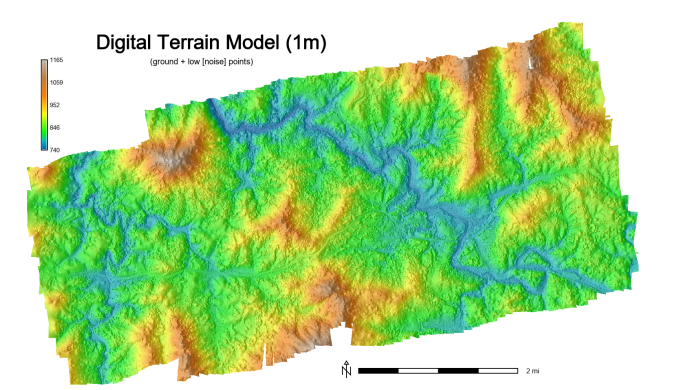
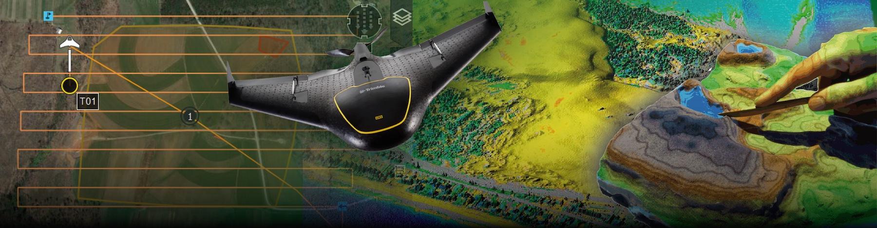

Student Created Digital Elevation Models (DEM)
Our Approach
Photogrammetry & SfM
- Collect Raw Flight Image Data
- CAP Civil Air Patrol
- U.S. Air Force Auxiliary aids FEMA in disaster-response efforts.
- ArcGIS REST API
- ESRI ImageServer
Convert images into dense point cloud, orthomosaic, and mesh.
WebODM
AgiSoft Metashape
Post-processing with GRASS
Interpolate point cloud data into DSM.
Correct vertical shifts
Volumetric change estimations
Develop finalized data products
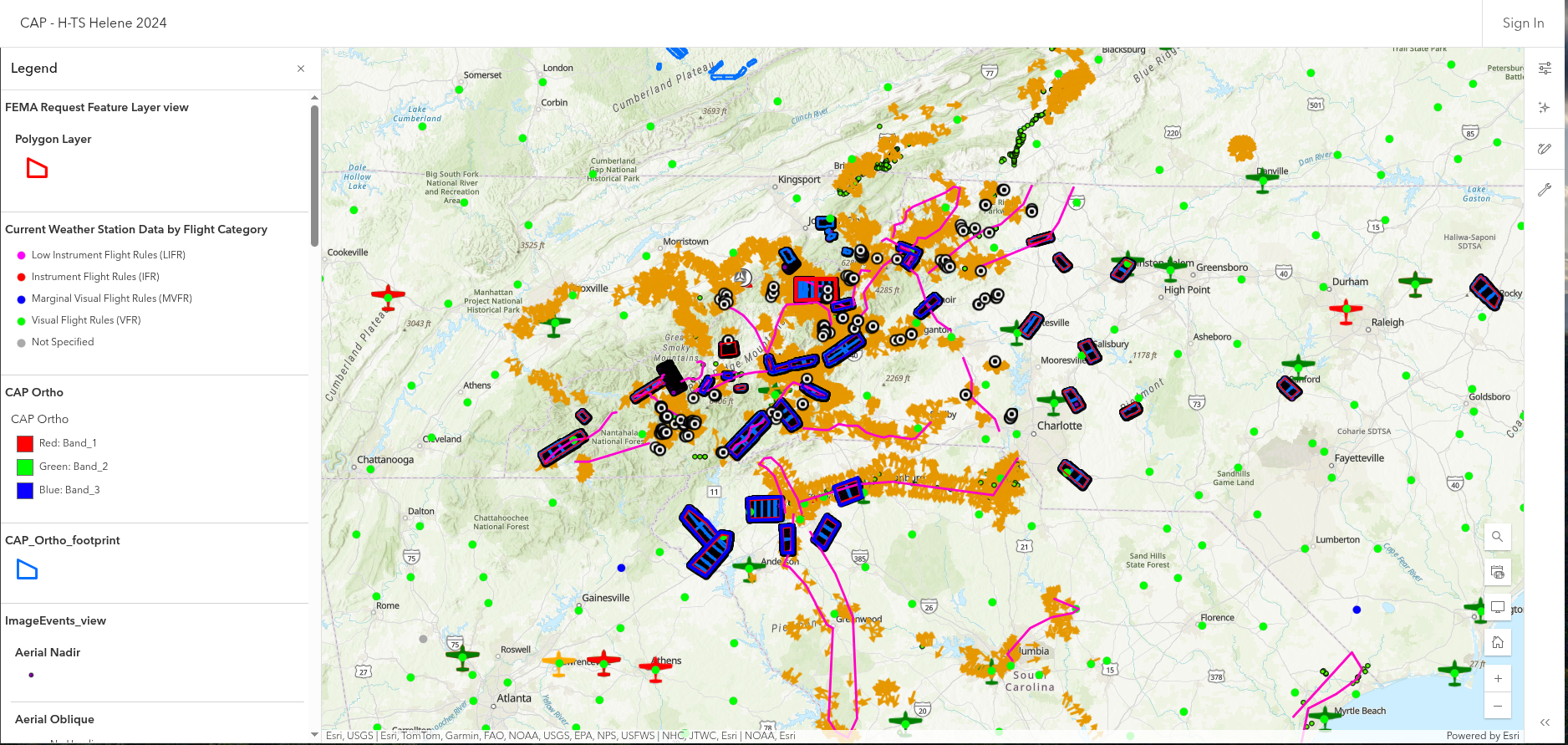
- Civil Air Patrol Flights
- Project: CAP-H-TS Helene 2024
- Mission: 24-1-5849
- 35 Flights
- Flown between
- Sept 27 - Oct 8
- Data
- 69,247 RGB JPEG Images (~1.41 TB)
- Image Resolution: 8688 x 5792
- Focal Length: 50mm
- Pixel Size: 4.24 x 4.24 μm
- Spatial
- WGS84 (EPSG::4326)
- Yaw, Pitch, Role
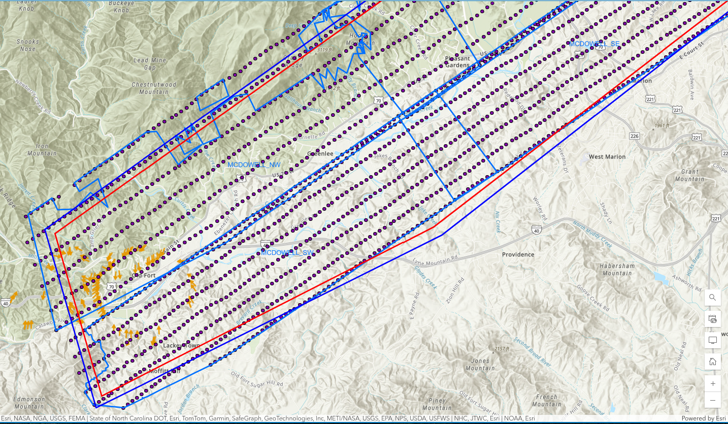
Flight Vector Data: https://services.arcgis.com/XG15cJAlne2vxtgt/ArcGIS/rest/services/Image_Points_view/FeatureServer/3/query
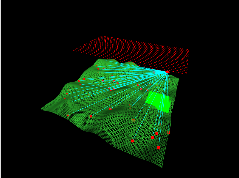
Photogrammetry & SfM (Structure from Motion)
Align __ Photos__
Develop Depth Maps
Dense Point Clouds
Digital Elevation Model (DEM)
Mesh
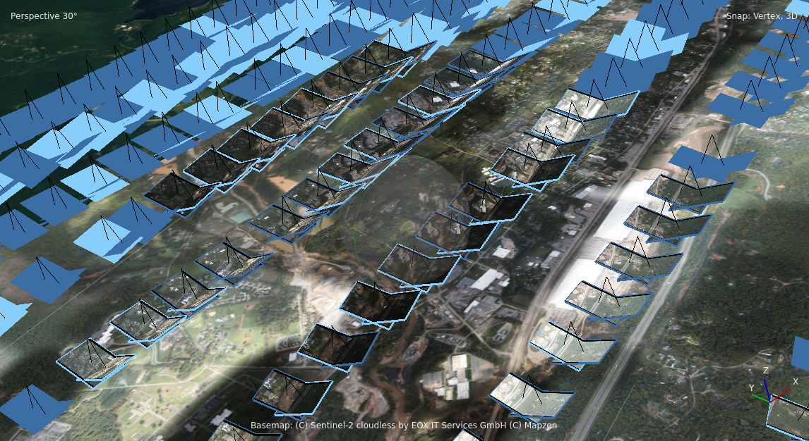
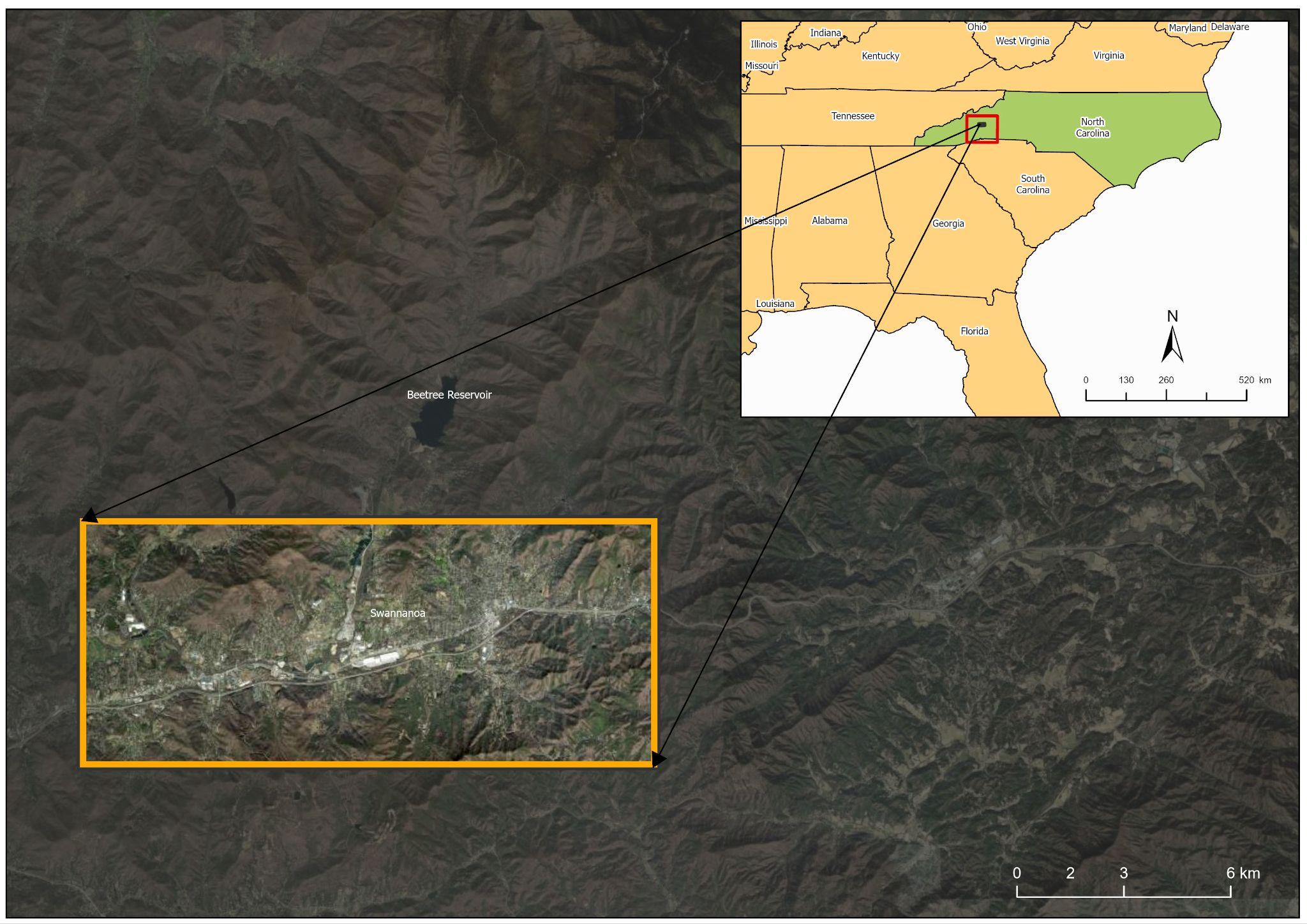
Swannanoa River
Valley
Bearwallow-Chimney Rock
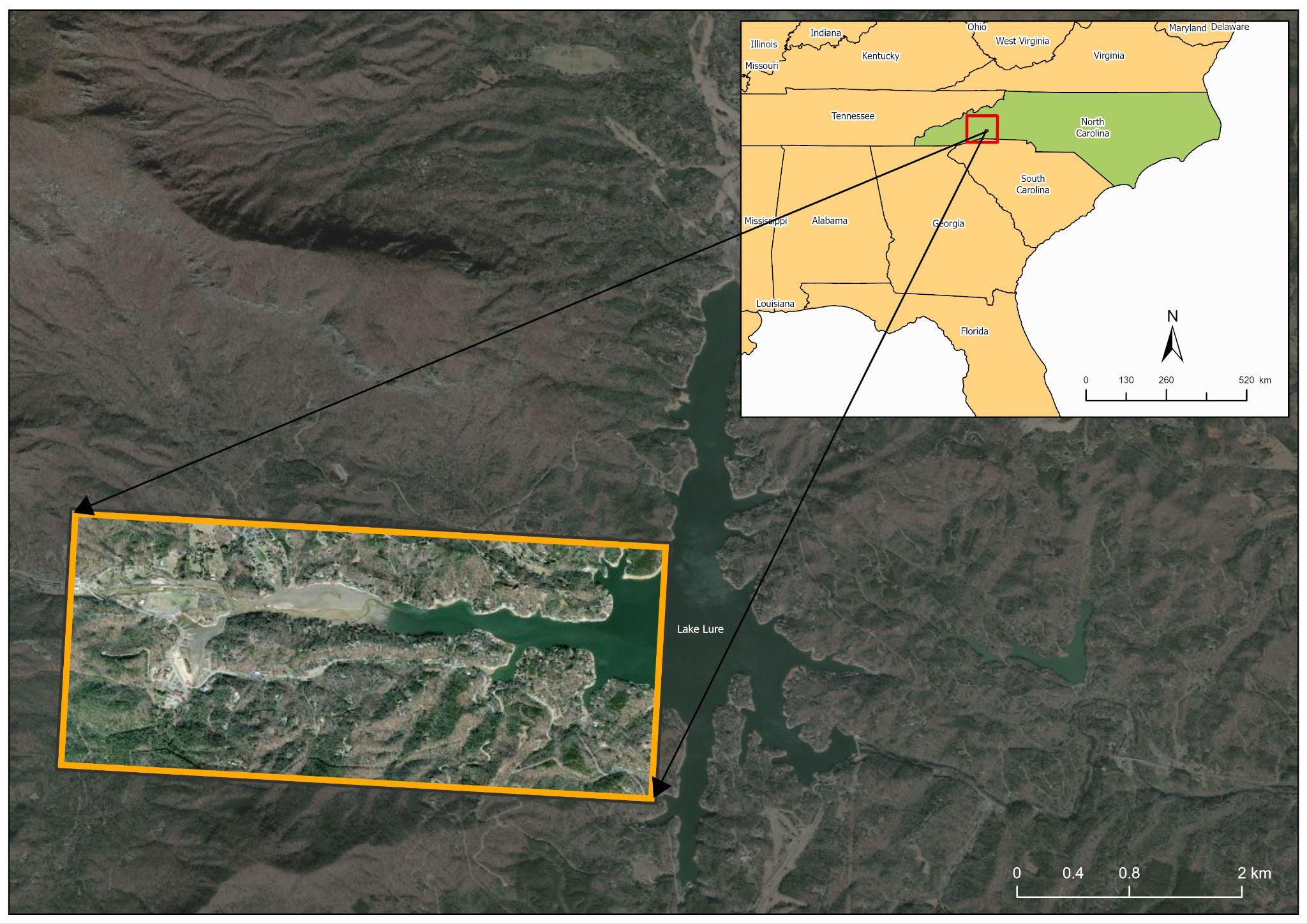
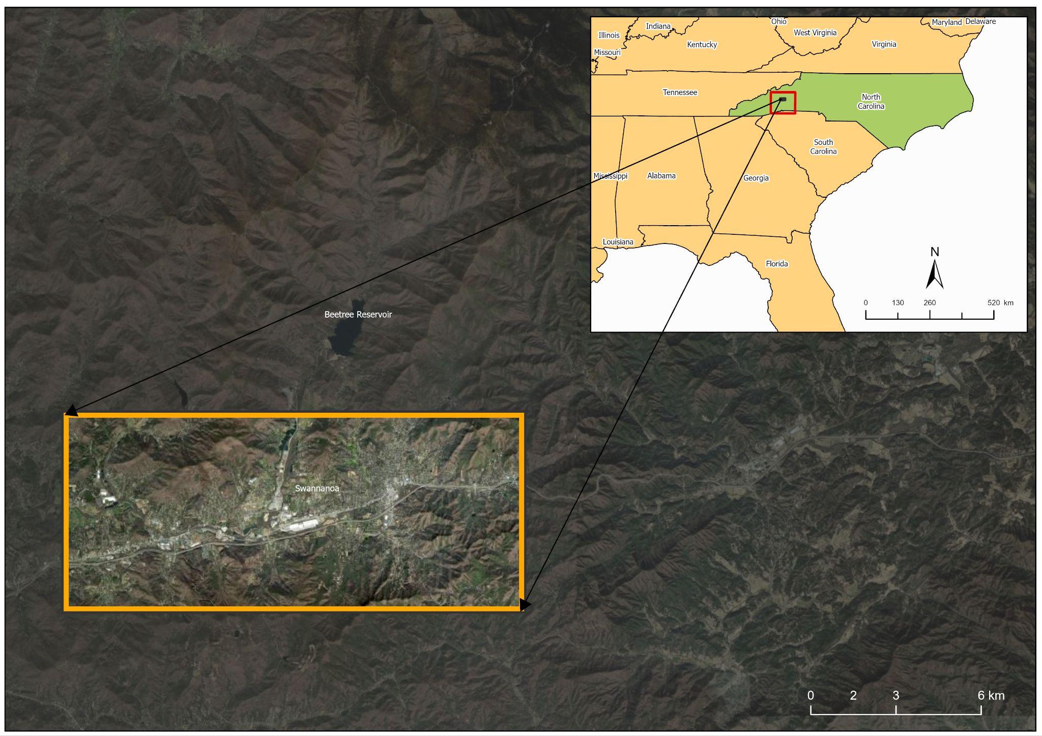
Data Reprojected to NAD83(HARN) / North Carolina (EPSG:3358)
Swannanoa NC - CAP Flight A006B
Number of images: 1,515
Camera stations: 1,504
Flying altitude: 960 m
Tie points: 2,064,970
Ground resolution: 7.98 cm/pix
Projections: 5,164,112
Coverage area: 80.6 km²
Reprojection error: 2.08 pix
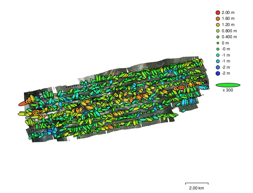
Camera Locations and Error Estimates
Camera Calibration
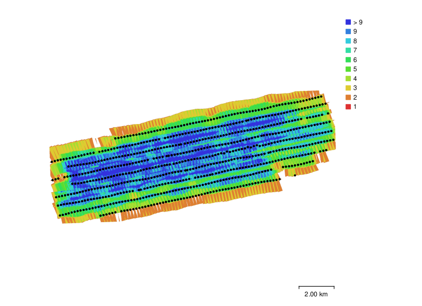
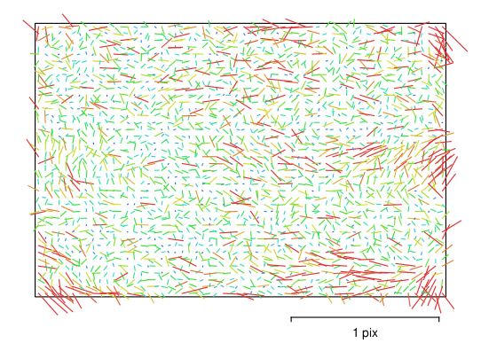
Image residuals for Canon EOS 5DS R, EF50mm f/1.4 USM (50mm).
Camera Locations and Image Overlap
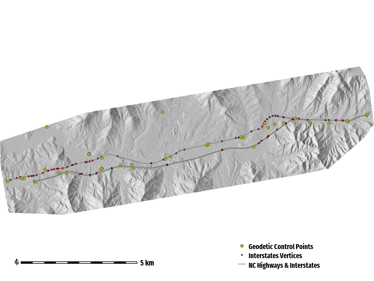
Systematic Vertical Shift
Pre-Correction Vertical Error
MSE: 56.89 m
RMSE: 7.54 m
RMdSE (Median): 5.25 m
Post-Vertical Alignment
RMSE: 0.39 m (~1.28 US Survey feet)
LiDAR to Geodetic __ __ Control __ Point v. DTM__
RMSE: 0.121 m
Topographic Derivatives
DSM (Digital Surface Model)
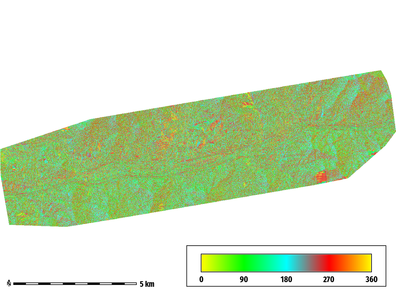
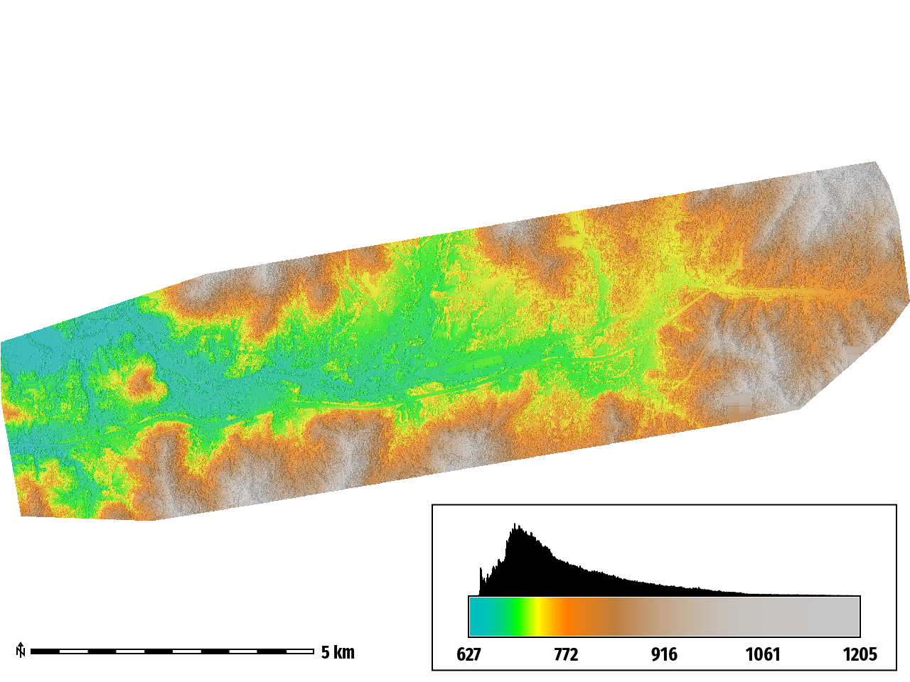
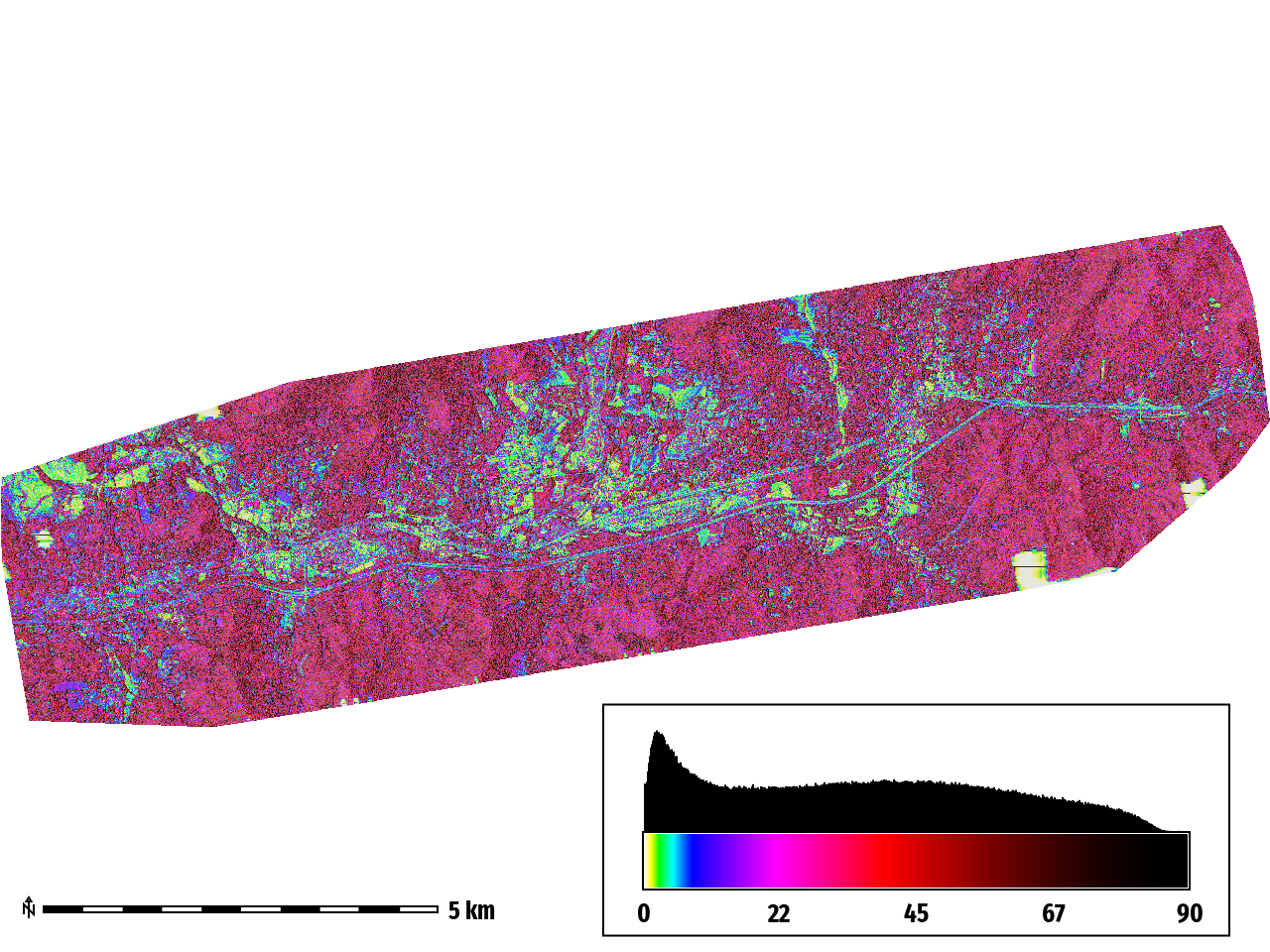
minimum: 627.142
maximum: 1205.31
range: 578.165
mean: 774.047
mean of absolute values: 774.047
standard deviation: 92.2234
median : 746.752
minimum : 2.20804e-05
maximum : 360
range : 360
mean : 180.977
mean of absolute values : 180.977
standard deviation : 102.844
median : 181.068
minimum: 0.000618198
maximum: 88.5532
range: 88.5526
mean: 35.3713
mean of absolute values: 35.3713
standard deviation: 23.0795
median: 34.8844
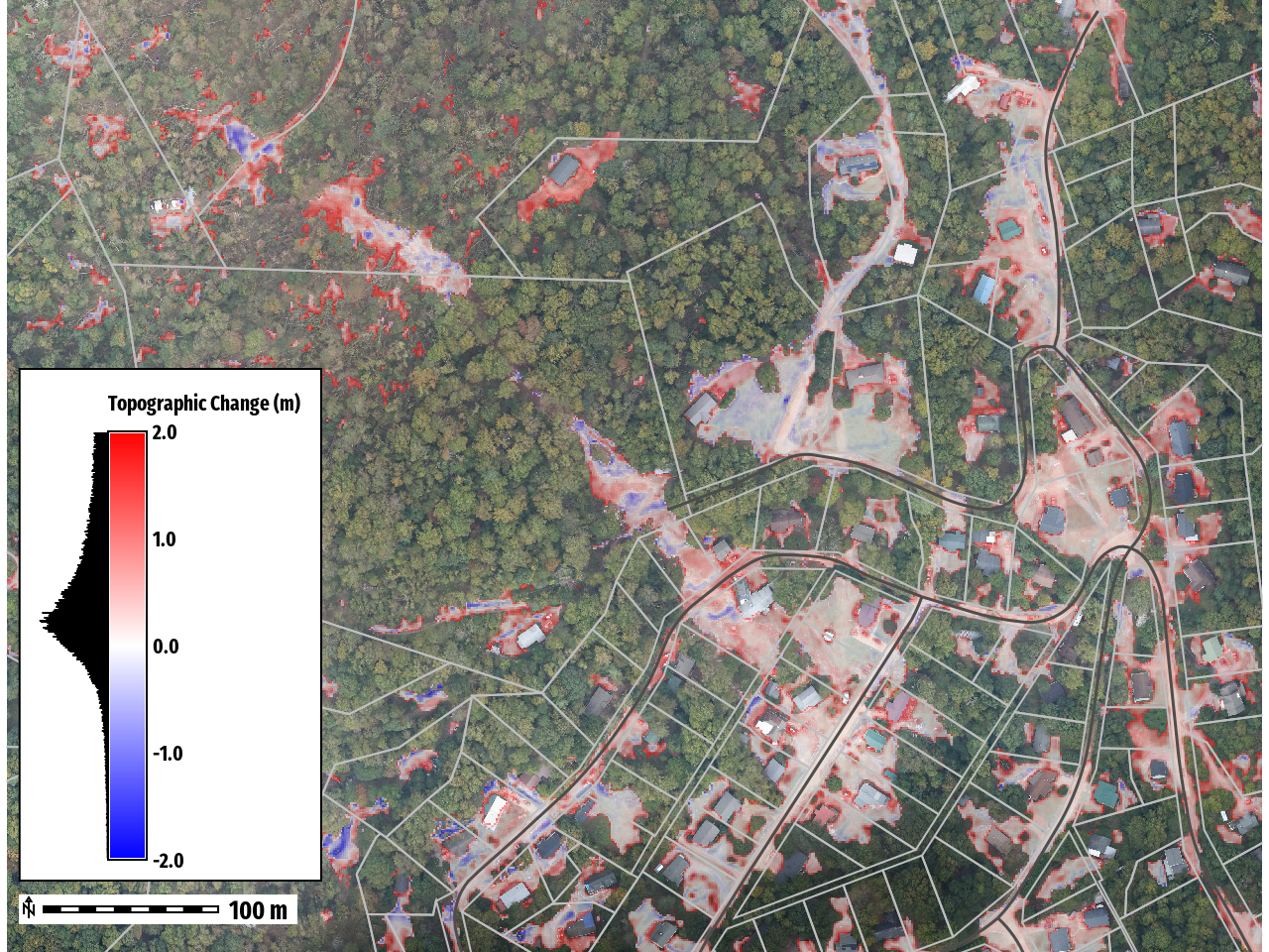
Topographic Change
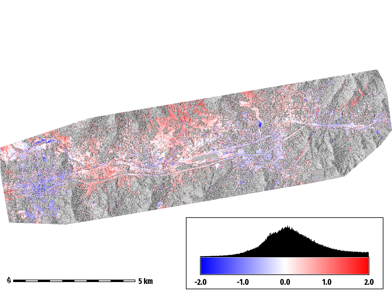
minimum : -2
maximum : 2
range : 4
mean : 0.21599
mean of absolute values : 0.5558
standard deviation: __ 0.694954__
median: __ 0.150562__
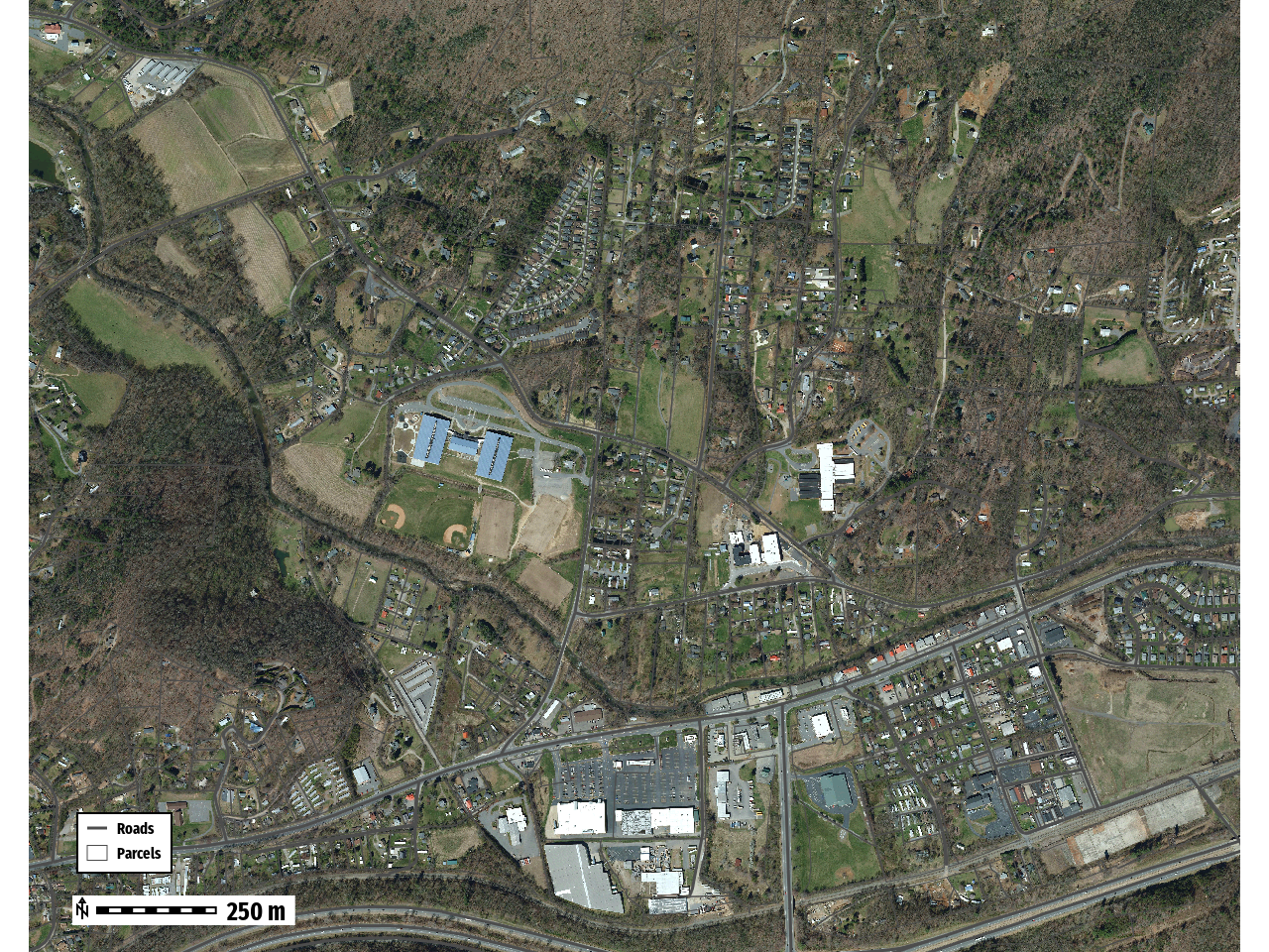
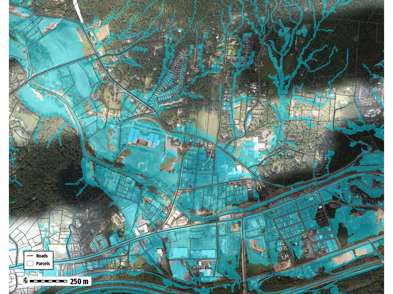
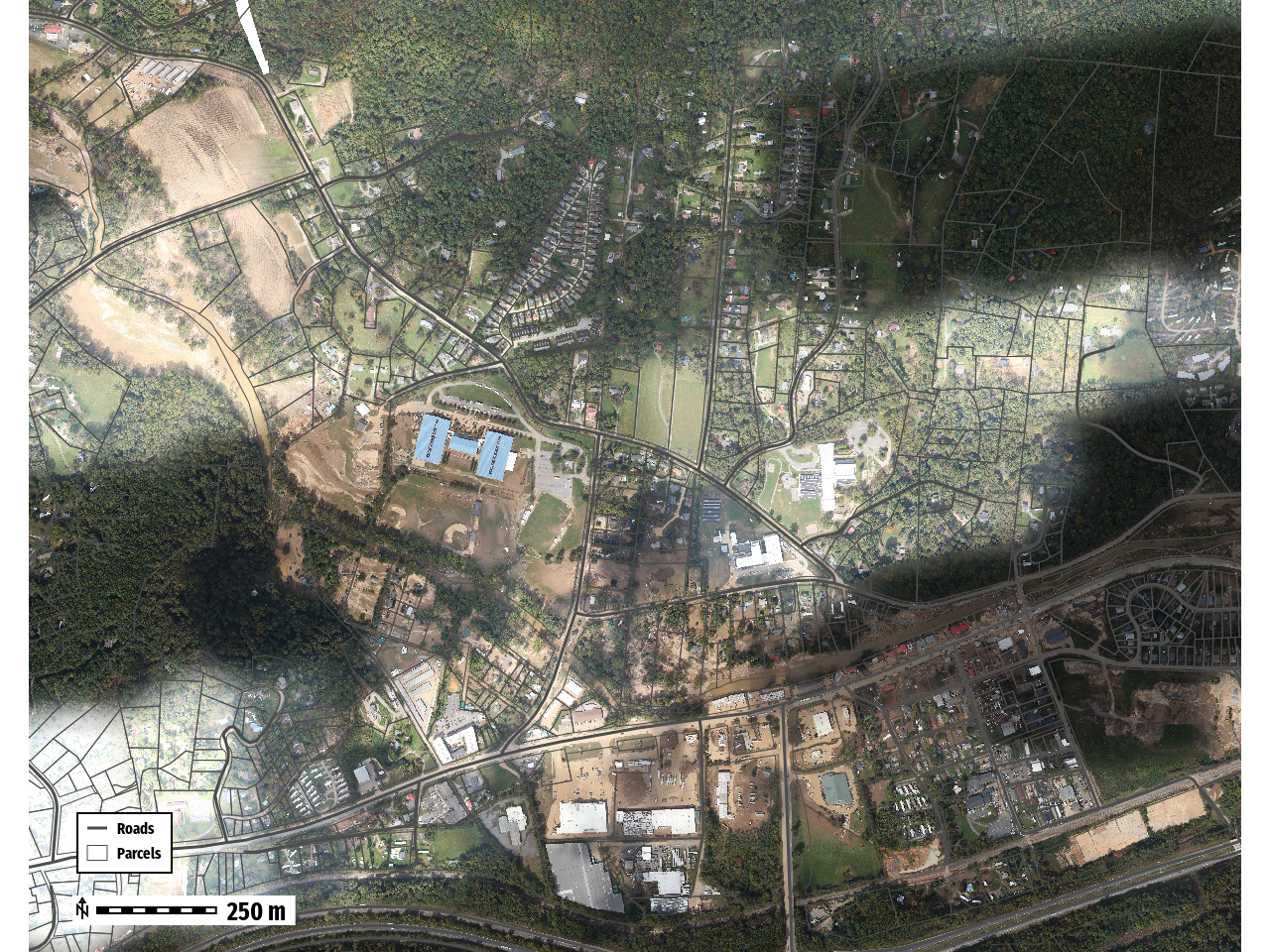
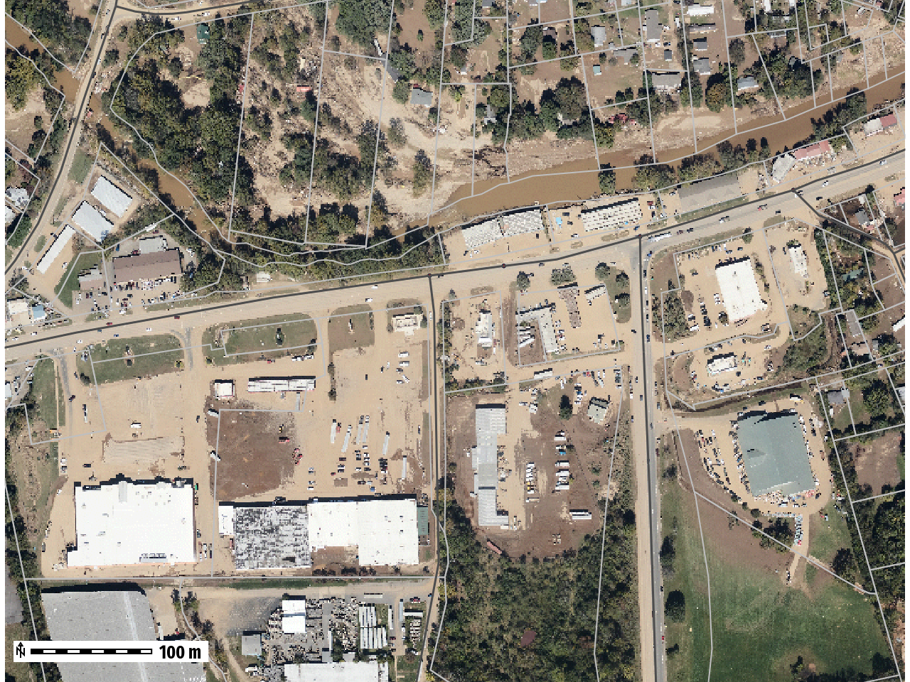
Swannanoa, NC
Record Gauge Height 27.33 ft
October 6th, 2024
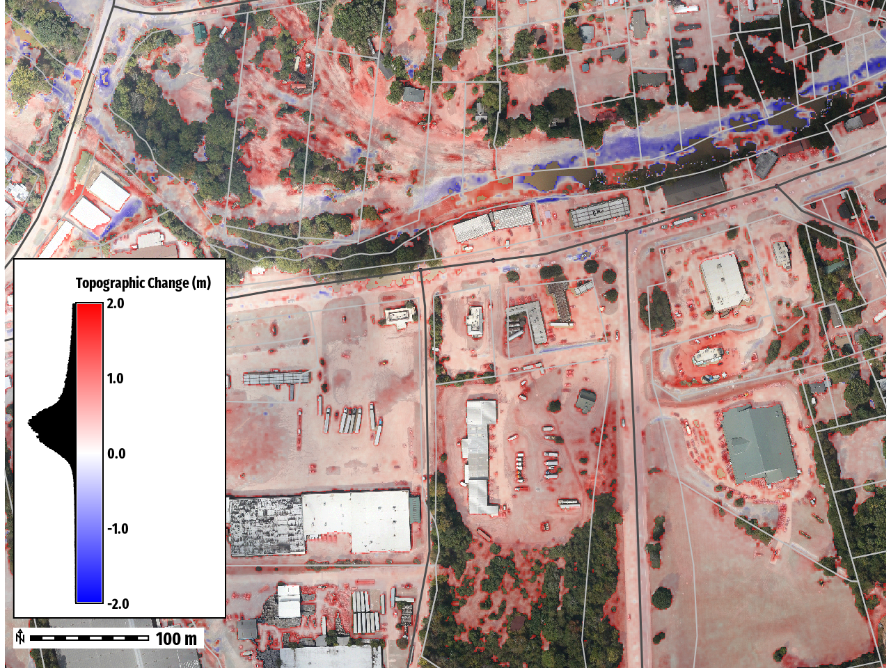
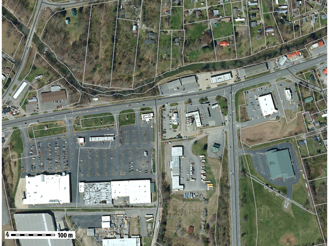
October 6th, 2024
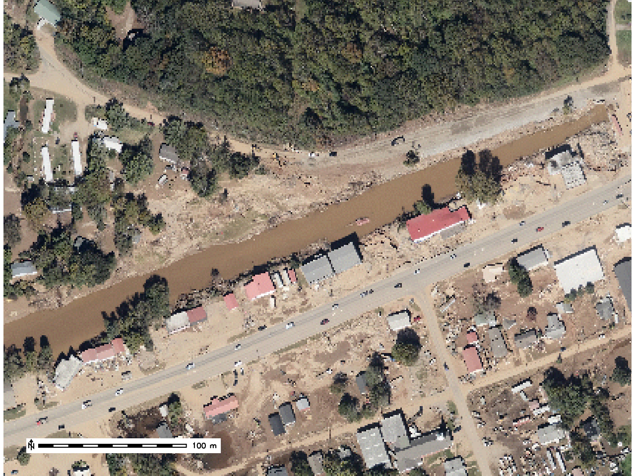
Stream Bank Erosion
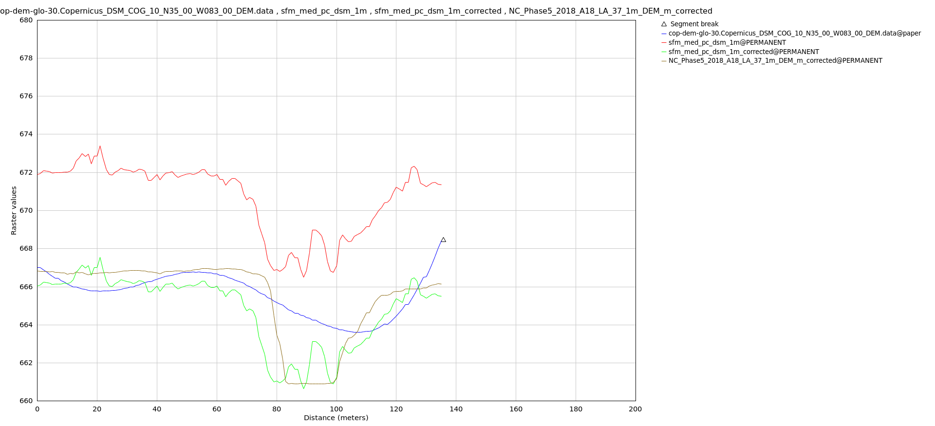
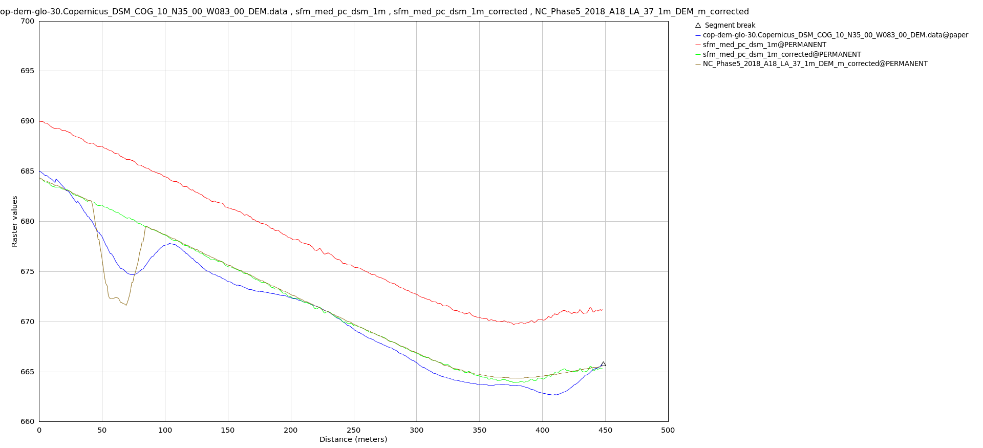
SfM DSM - Not Corrected
NC Phase 2018 LiDAR DTM
Corrected SfM DSM
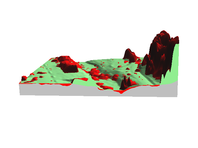
Landslides
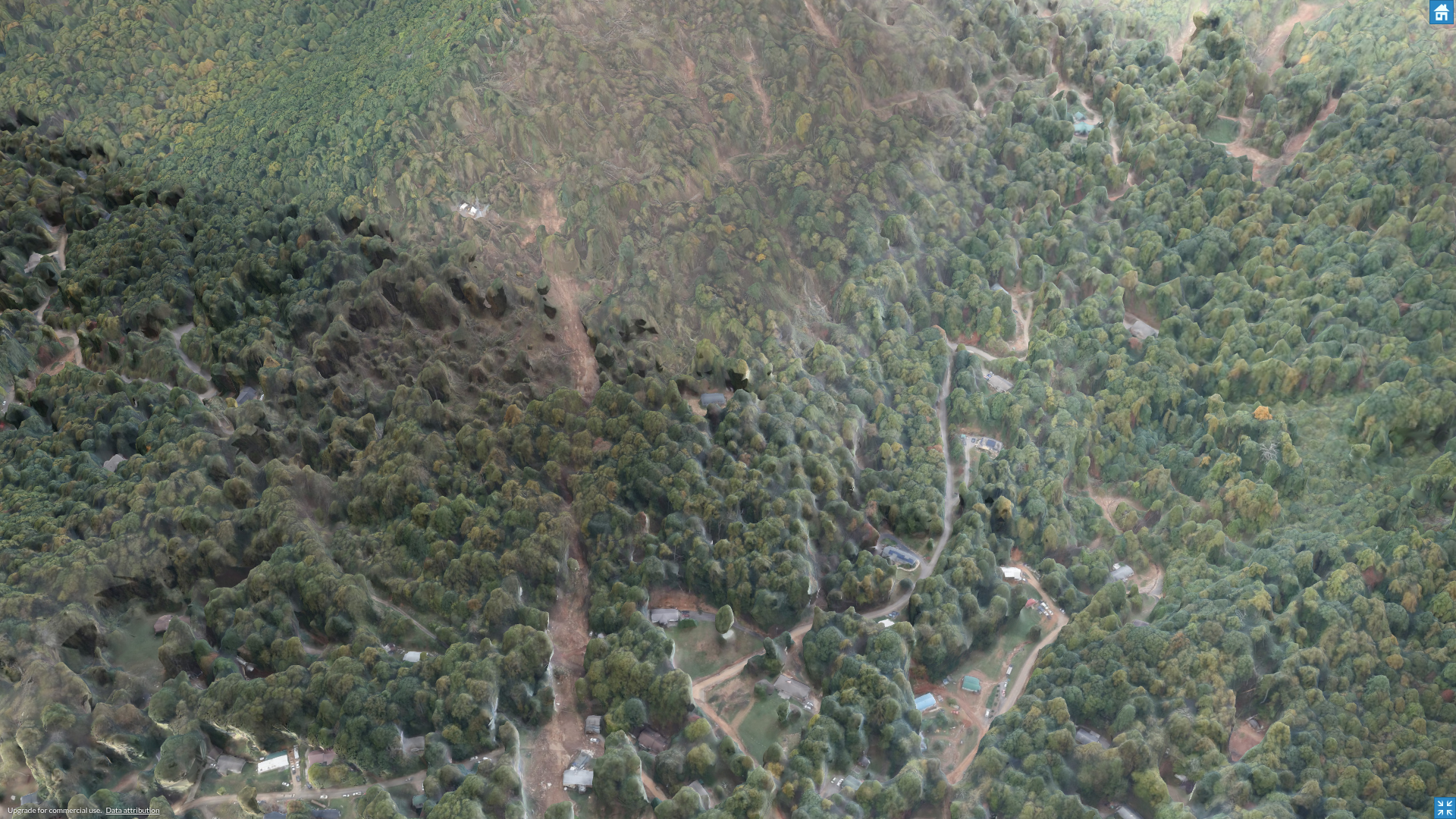
Top of Landslide
Hidden by Canopy
Bottom of Landslide
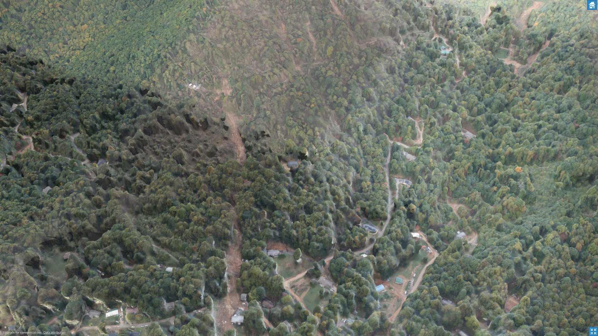
Landslides (cont.)
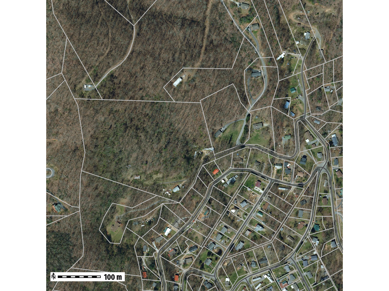
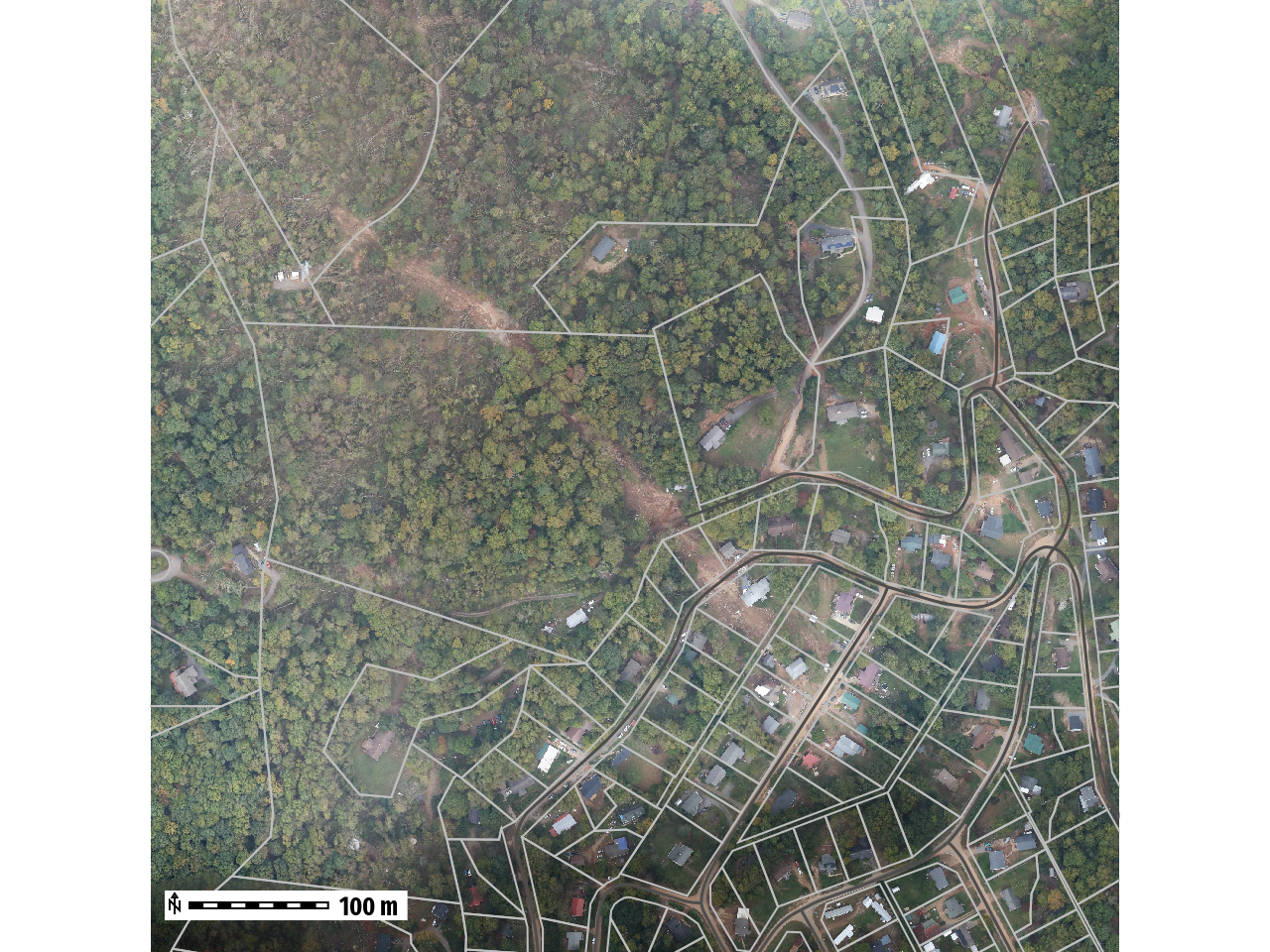
Landslides (cont.)
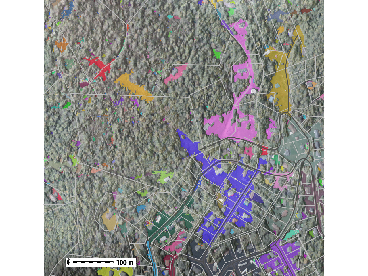
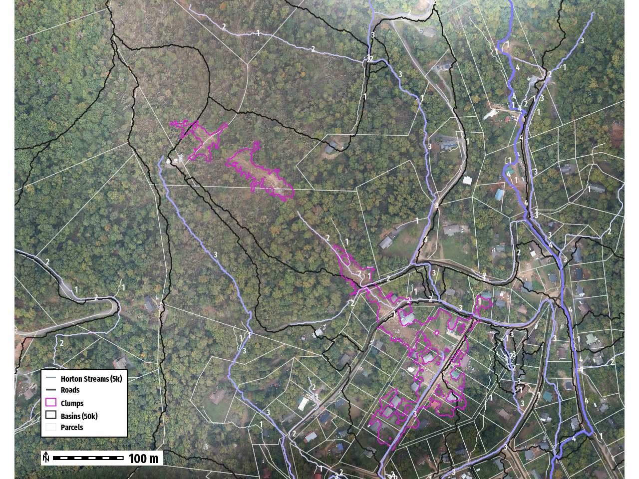
Number of Clumps: __ 3__
| Clump | Volume (m 3 ) | Average (Difference) | Area (m 2 ) |
|---|---|---|---|
| 1 | 694.01 | 0.51 | 1355 |
| 2 | 1422.83 | 0.59 | 2409 |
| 3 | 5757.43 | 0.40 | 14771 |
| Total | 7874.27 | 18535 |
Estimate Debris Removal Cost
~788 Loads (10m3 __ per load__ )
$78K - $158k Removal Cost

https://www.fema.gov/appeal/debris-removal-1
Flow Accumulation & Streams
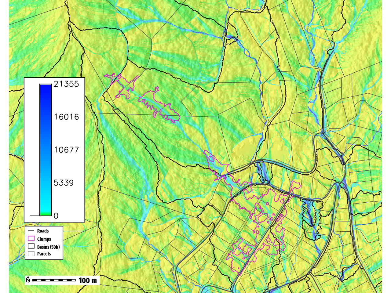
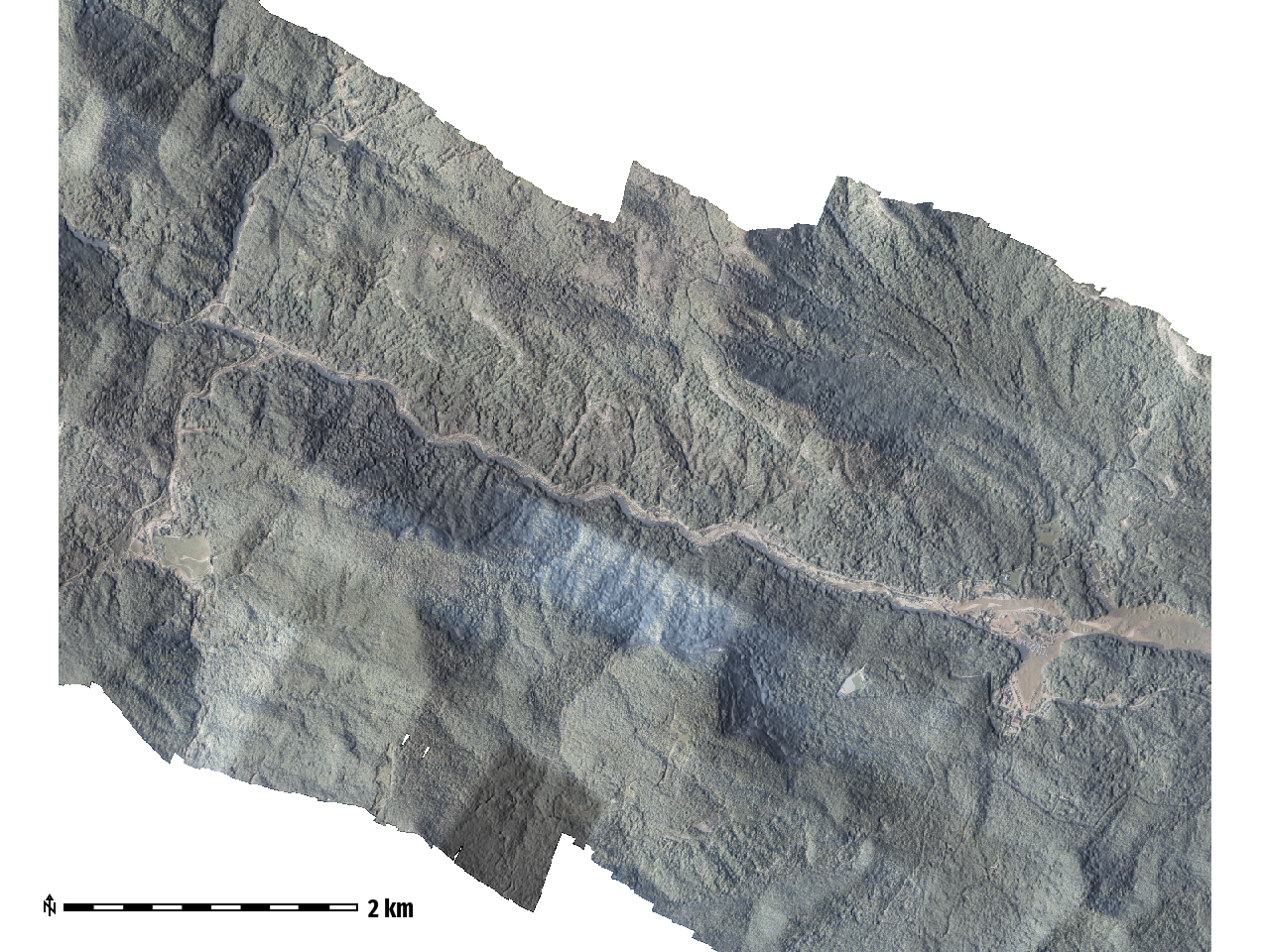
Bearwallow-Chimney Rock - CAP Flight A006B
Number of images: 1,444
Camera stations: 1,254
Flying altitude: 1.04 km
Tie points: 1,893,146
Ground resolution: 9.28 cm/pix
Projections: 4,512,928
Coverage area: 75.2 km²
Reprojection error: 1.18 pix
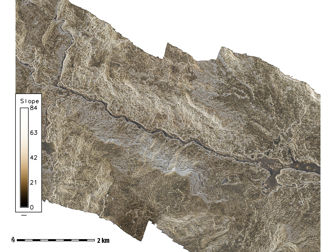
Steep Mountainous Terrain
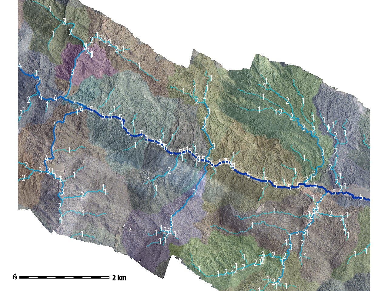
Strahler Stream Order
Fluvial geomorphological changes along Brood River
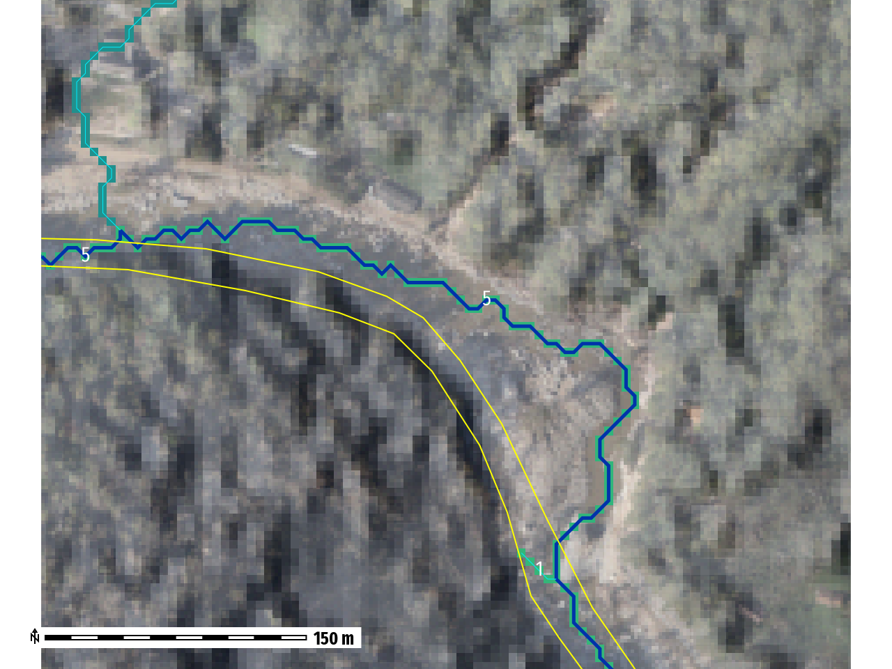
New Stream Channel
(Blue)
2017 NC Streams
(Yellow)
Bearwallow-Chimney Rock
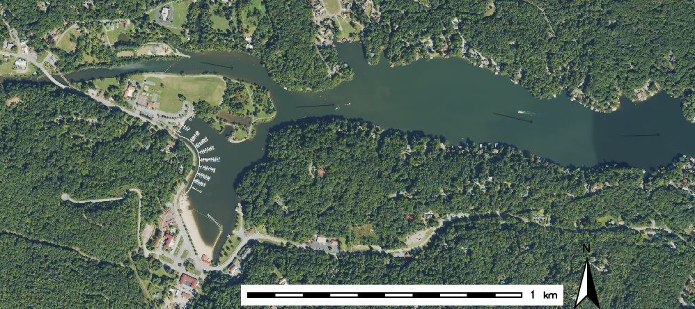
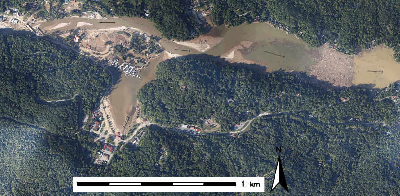
Fun Fact
Filming Location

Debris Damming __ River__
Debris Volume
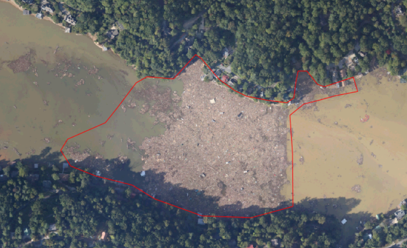
Estimated at
~28.3 million Cubic
Meters
~11,321
Olympic Swimming
Pools
Bearwallow-Chimney Rock
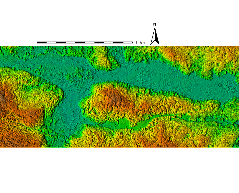
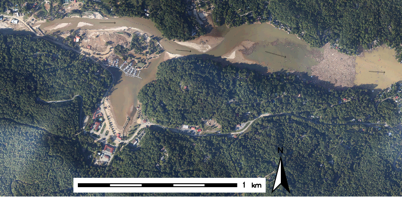
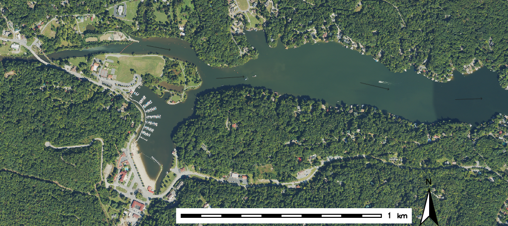
DSM created using 2024 SfM data
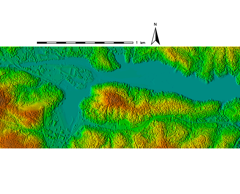
DSM created using 2017 LiDAR data