Vectors
Importing a Shapefile
Download sample Shapefile points_of_interest.zip and unzip it.
Import the file using v.in.ogr module.
Note that you need to specify the full path to the file.
v.in.ogr input=/path/to/points_of_interest.shp output=points_of_interest
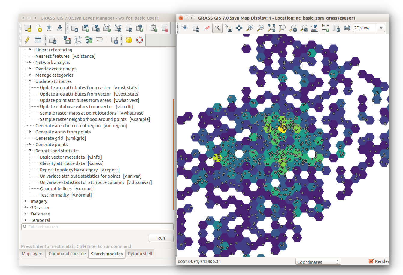
Generating a hexagonal grid
To compute point density in a hexagonal grid for the vector map points_of_interest use the vector map itself to set extent of the computational region. The resolution is based on the desired size of hexagons.
g.region vector=points_of_interest res=2000 -pa
v.mkgrid map=hexagons -h
Computing statistics of points in polygons
The following counts the number of points per hexagon using the v.vect.stats module.
v.vect.stats points=points_of_interest areas=hexagons count_column=count
v.colors map=hexagons use=attr column=count color=viridis