Imagery processing options
Processing options
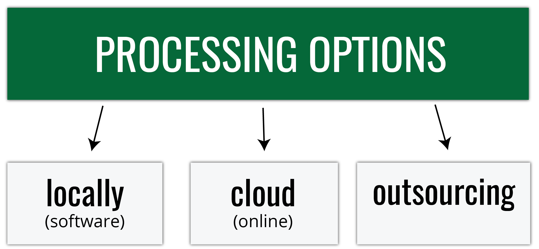
Processing options
Everything boils down to... money (and time)
- What is my starting budget and equipment?;
- How frequently will I fly?;
- Do I have the experience/ training necessary for processing (or am I able to hire people who do)?
- Do I have time to process the data by myself?;
>
Processing options - software
Processing options - software
Comprehensive comparison of more than 30 common software platforms used to operate UAVs and analyze resulting aerial imagery avaliable here
- provides a brief description of each software platform
- includes corresponding links for additional information and download
- groups software is following categories:
- UAV Control
- Ground Station
- Image Processing
- Image Processing - Photogrammetric
- Image Processing - Structure from Motion / Multi-Stereo View
- 3D Processing
- Object Based Classification
- Data Management/Platforms
- Computer Vision
>
Processing options - online (cloud)
Processing options
