3D modeling and rendering with UAV data
GIS595-004/603; MEA592-006/601:
UAS Mapping for 3D Modeling
Helena Mitasova, Payam Tabrizian, Justyna Jeziorska
Center for Geospatial Analytics,
North Carolina State University
Outline
- Motivation for 3D modeling with UAV data
- Basic concepts in 3D modeling and rendering
- 3D GIS and 3DWeb GIS
- Overview of Blender software and main functionalities
- General workflows for modeling with UAV and GIS data in Blender
Motivation for 3D modeling with UAV data
- Easier and more intuitive interaction with data
- Data cleaning (artifact removal, adding details)
- Adding additional GIS data and simulations (e.g., draping maps)
- Animating flights and visualizing various data facets and analytics
- Developing interactive online visualizations
- Improving science communication and publication impact
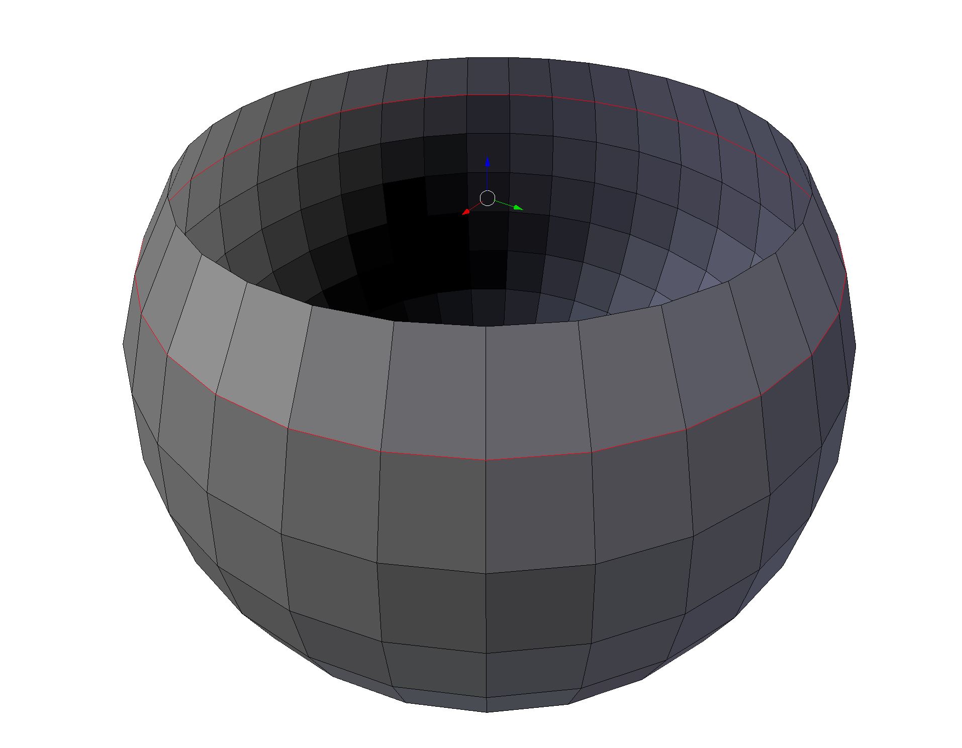
3D modeling
- Definition
- Typologies
- Polygonal modeling
- Curve modeling
- Digital sculpting (displacement, voxels, dynamic tesselation)
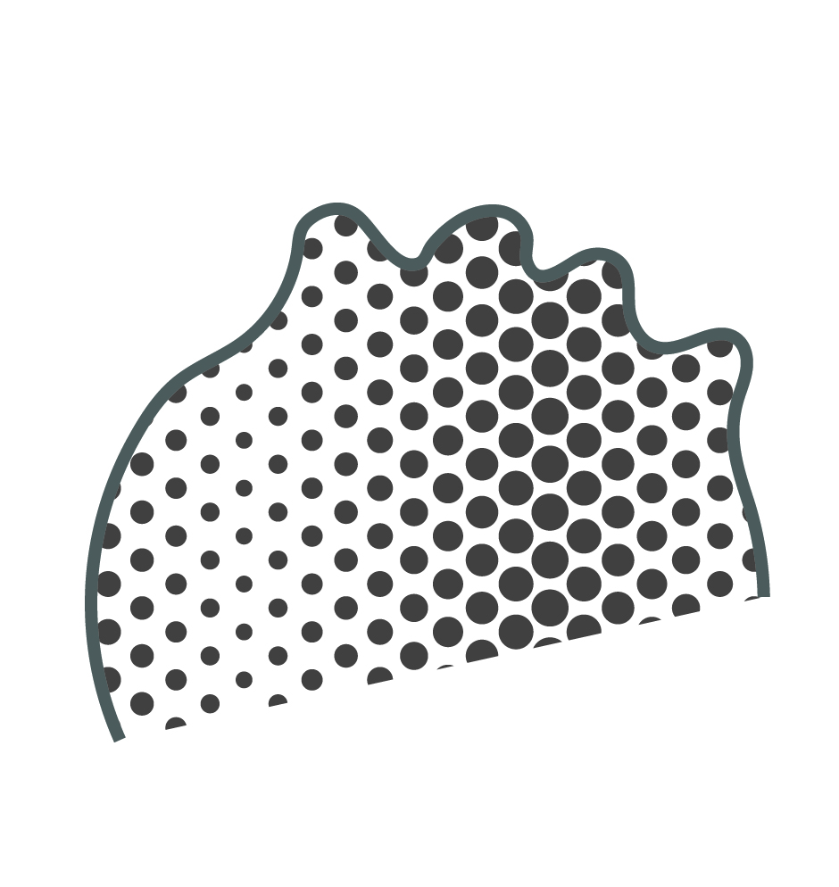
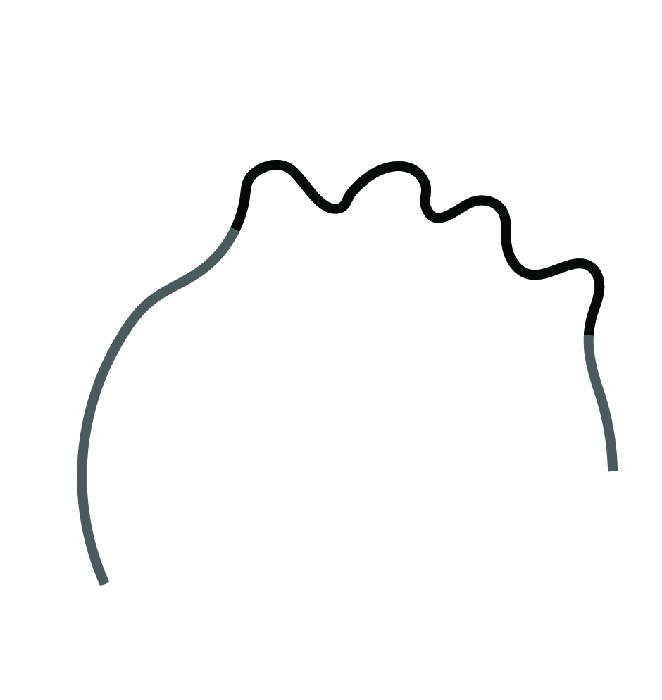
3D Mesh
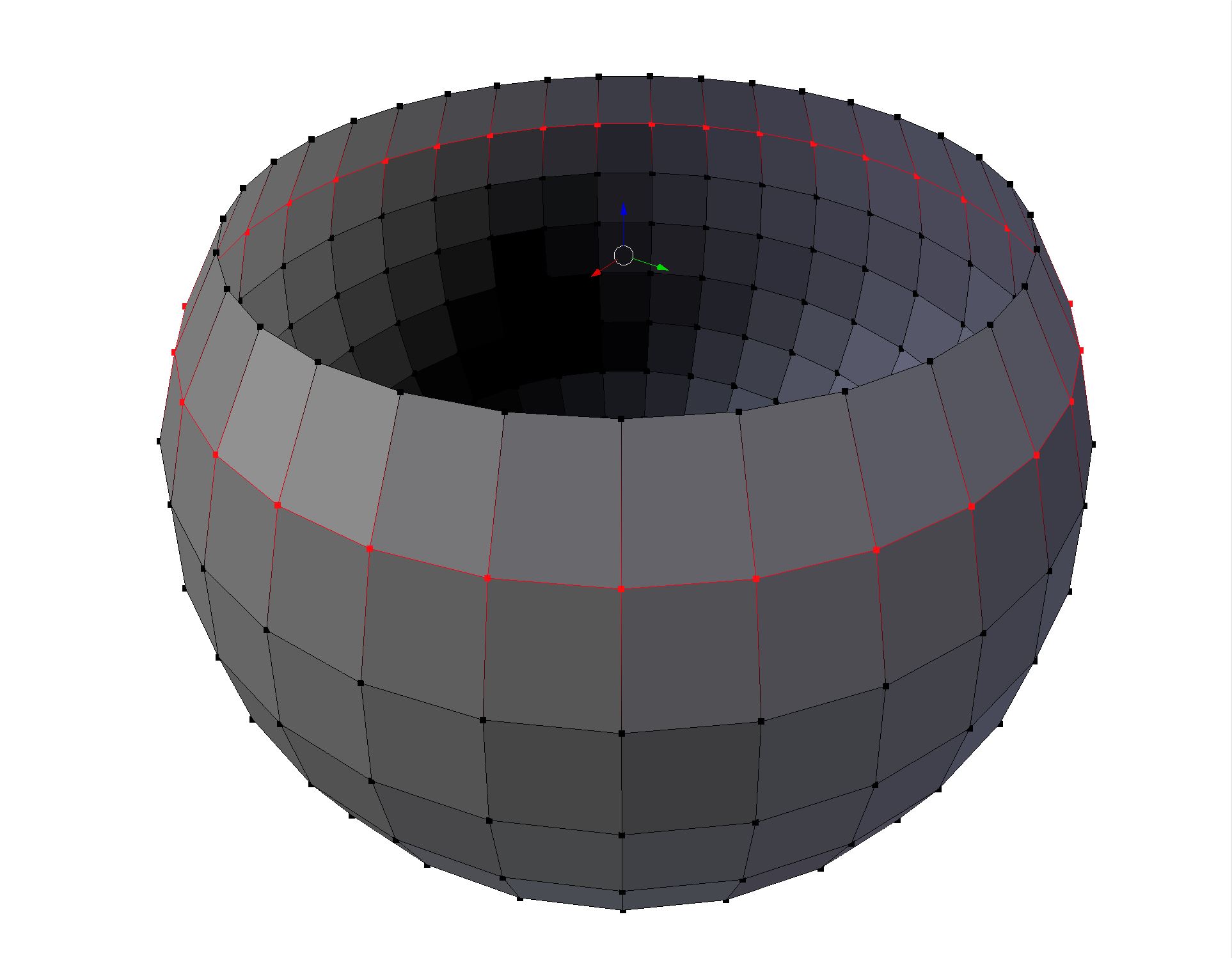 Vertex
 Edge
Edge
 Face
Face
3D Rendering
- Prerendering, viewport rendering, rendering, render engines
- Materials
- Shading
- Texturemapping
- Photorealism
Photorealism
Image credit: Mushrooms by John Wrbanek
Shaders
 Surface
 Volumetric
 Displacement
Surface Shaders
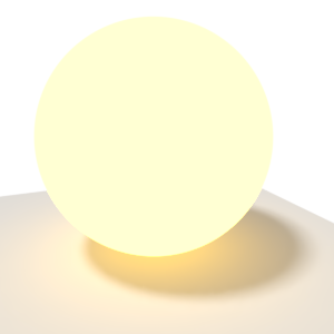
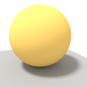 Diffuse
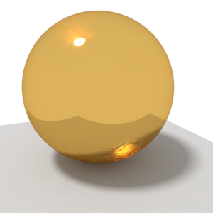
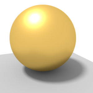 Glossy
![]() Transparent
Transparent
Surface Shaders
 Emission
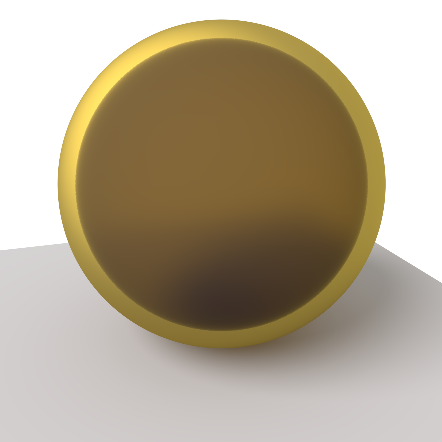
 Glass
Glass
 Mixed
Mixed
Diffuse + Glass
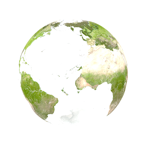
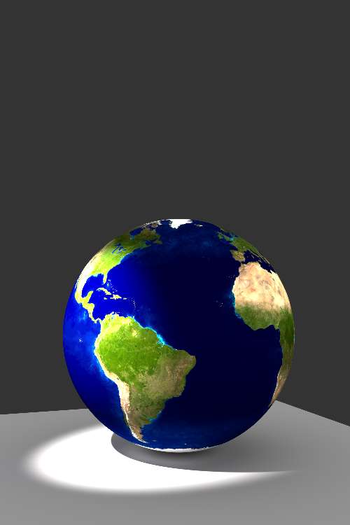
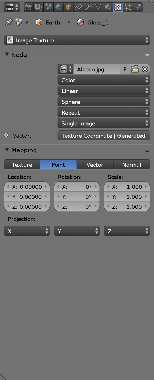
Texture mapping
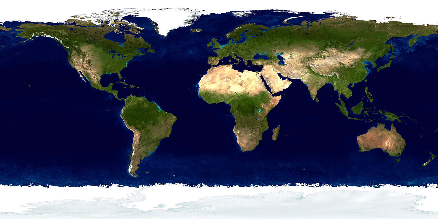 Satellite image used to create surface color
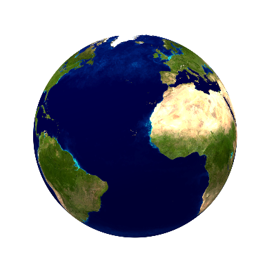 render
Bump mapping
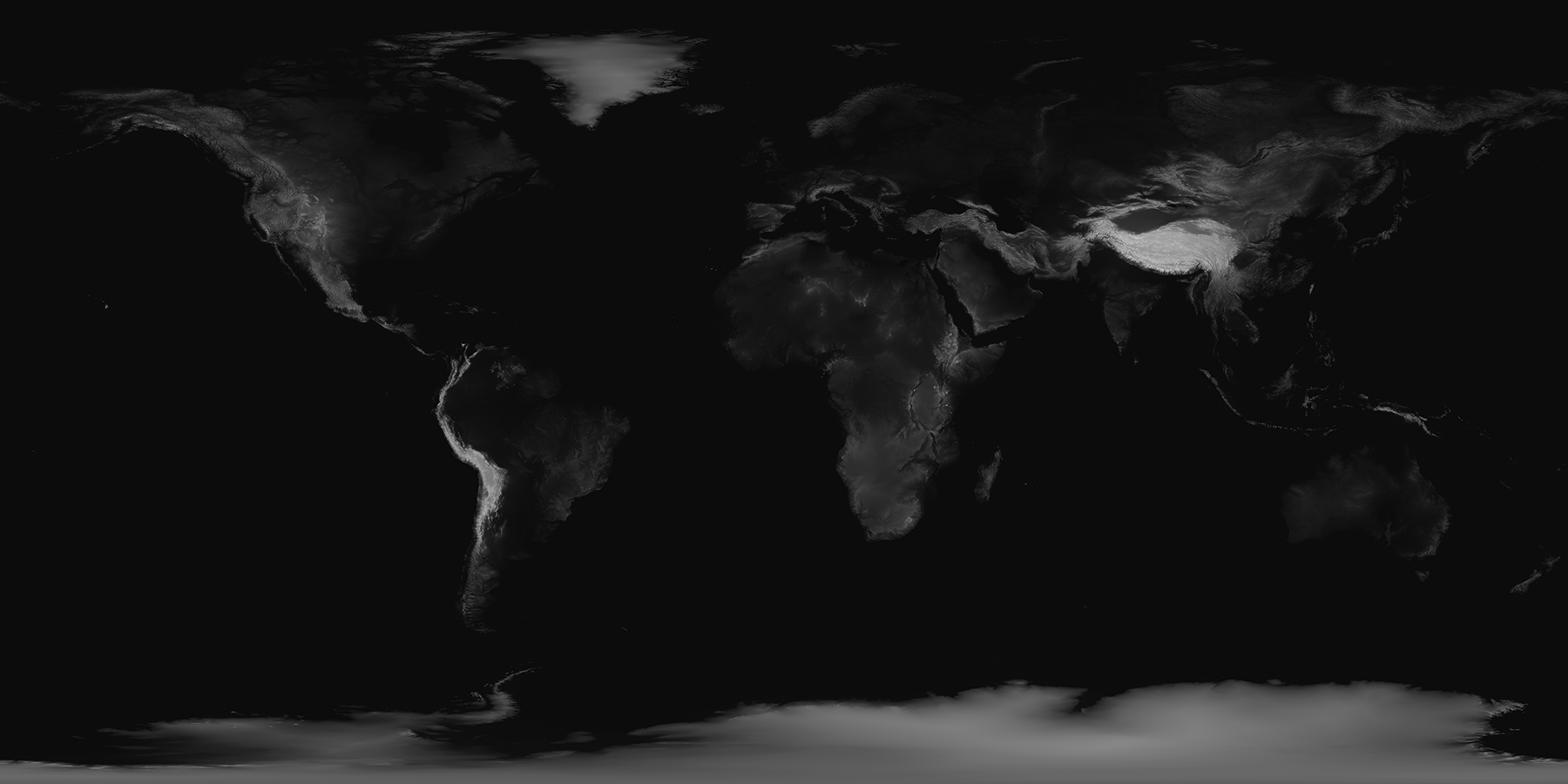 Elevation image used to generate surface roughness
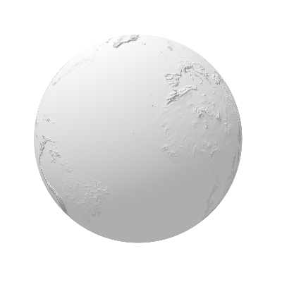 render
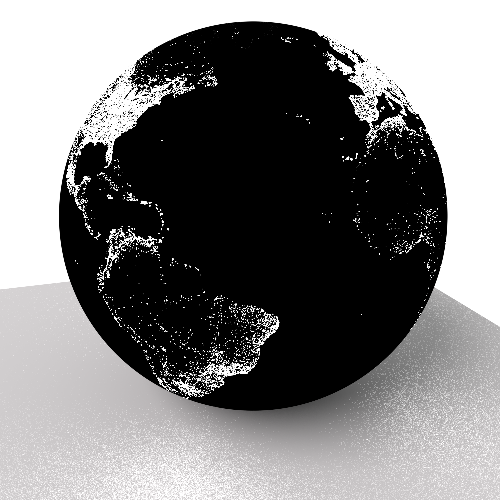
Alpha mapping
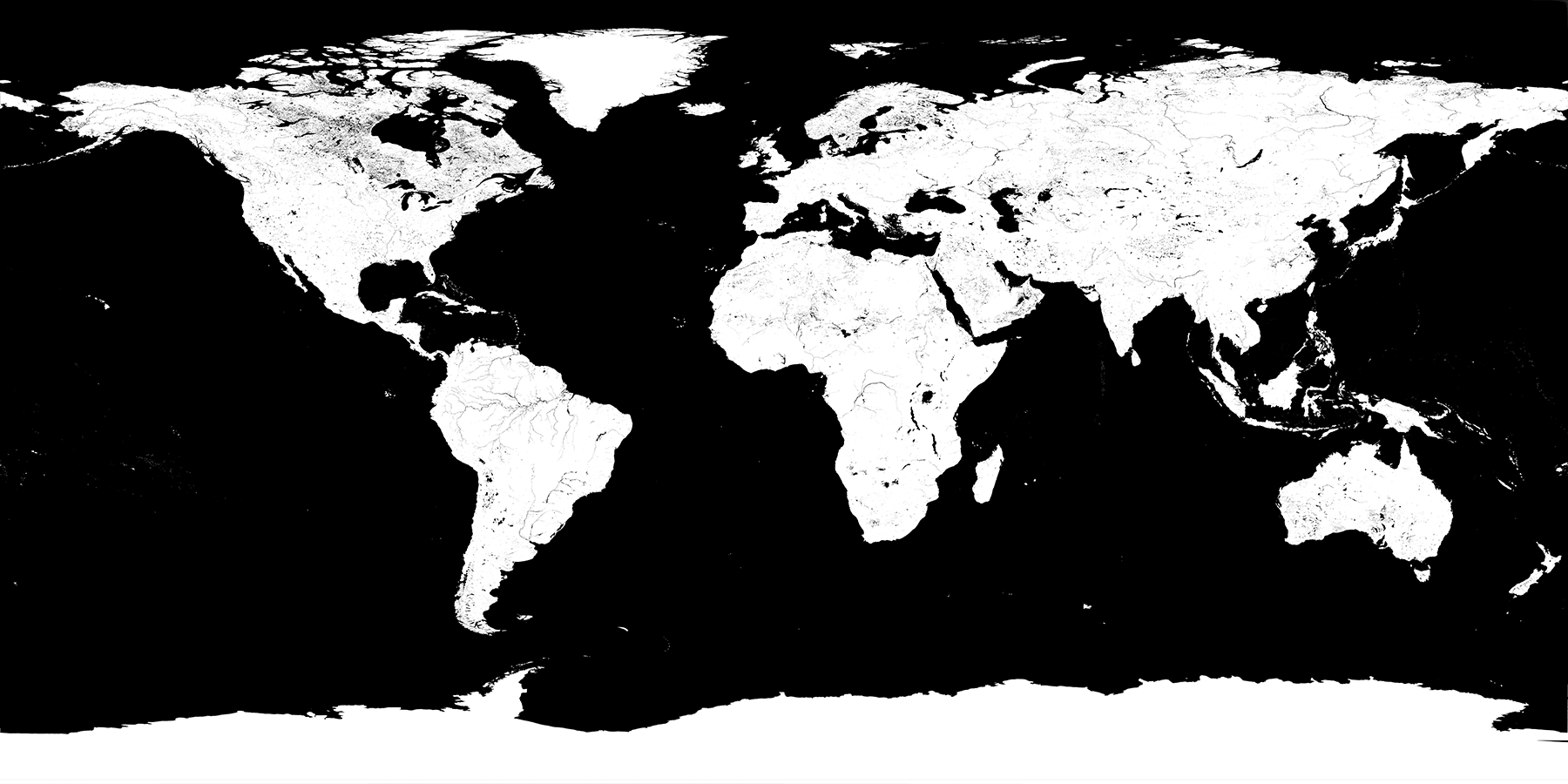 Alpha map of oceans used to extract land features
 render
Emission mapping
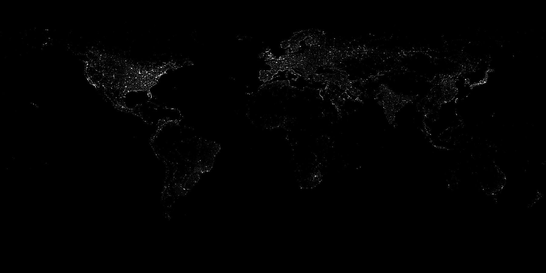 Satellite imagery of lights used to illuminate the surface
 Render
Volumetric shading
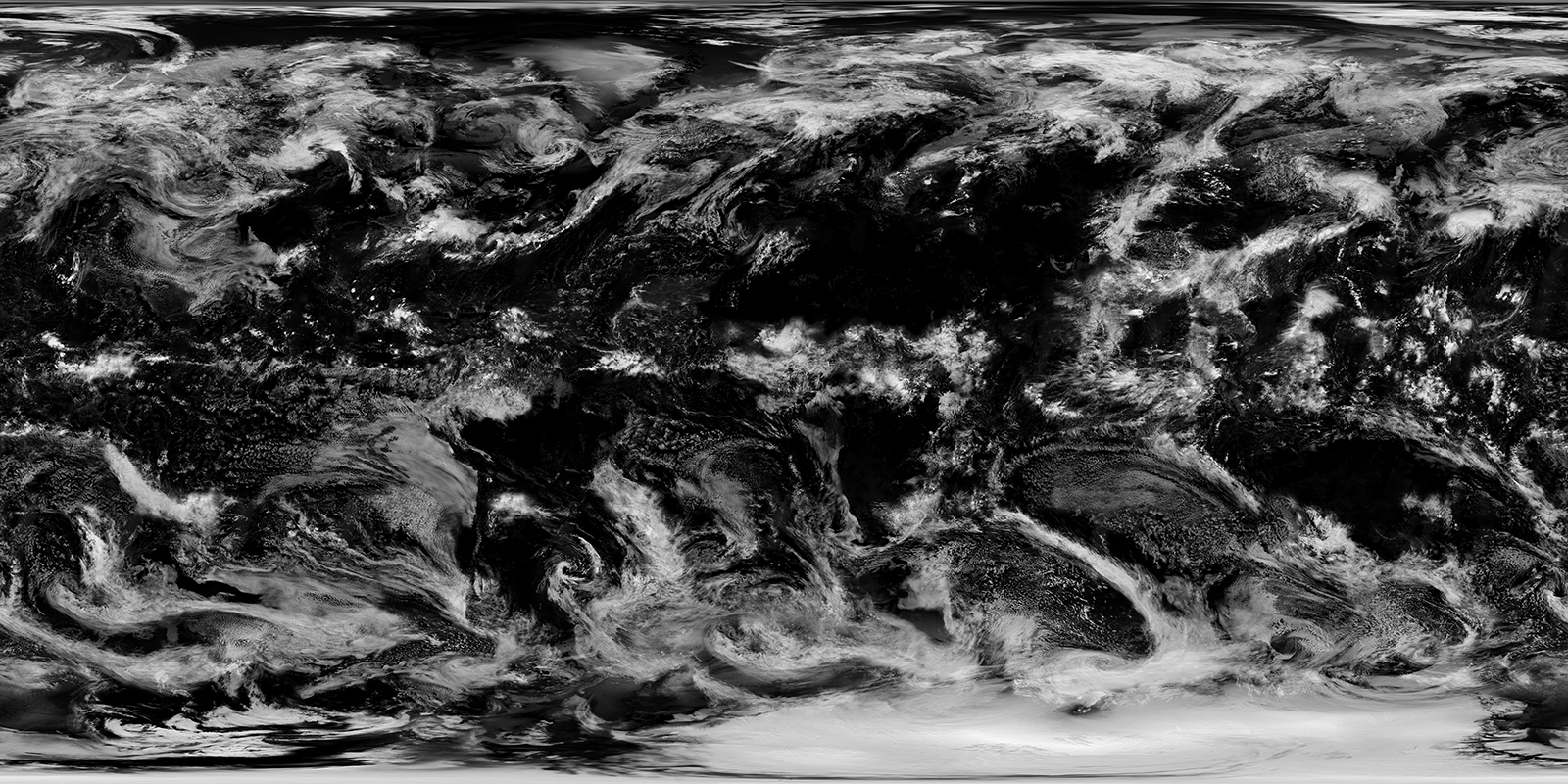 Satellite imagery of the clouds
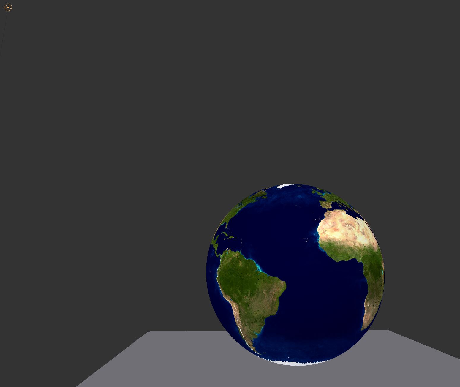
 The sphere object and the light source
Volumetric shaders
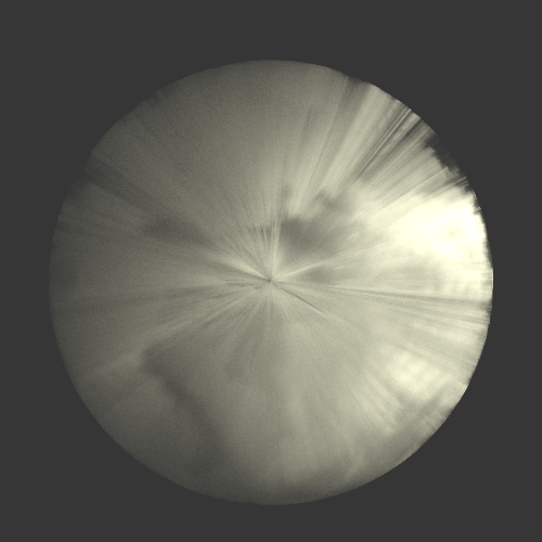 Rendering of the cloud sphere
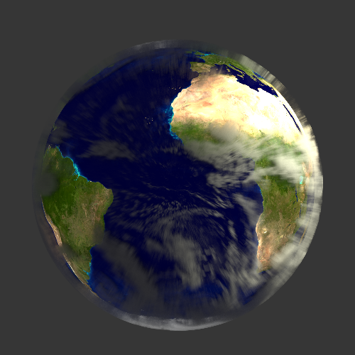 Rendering of the cloud & earth spheres
Lighting
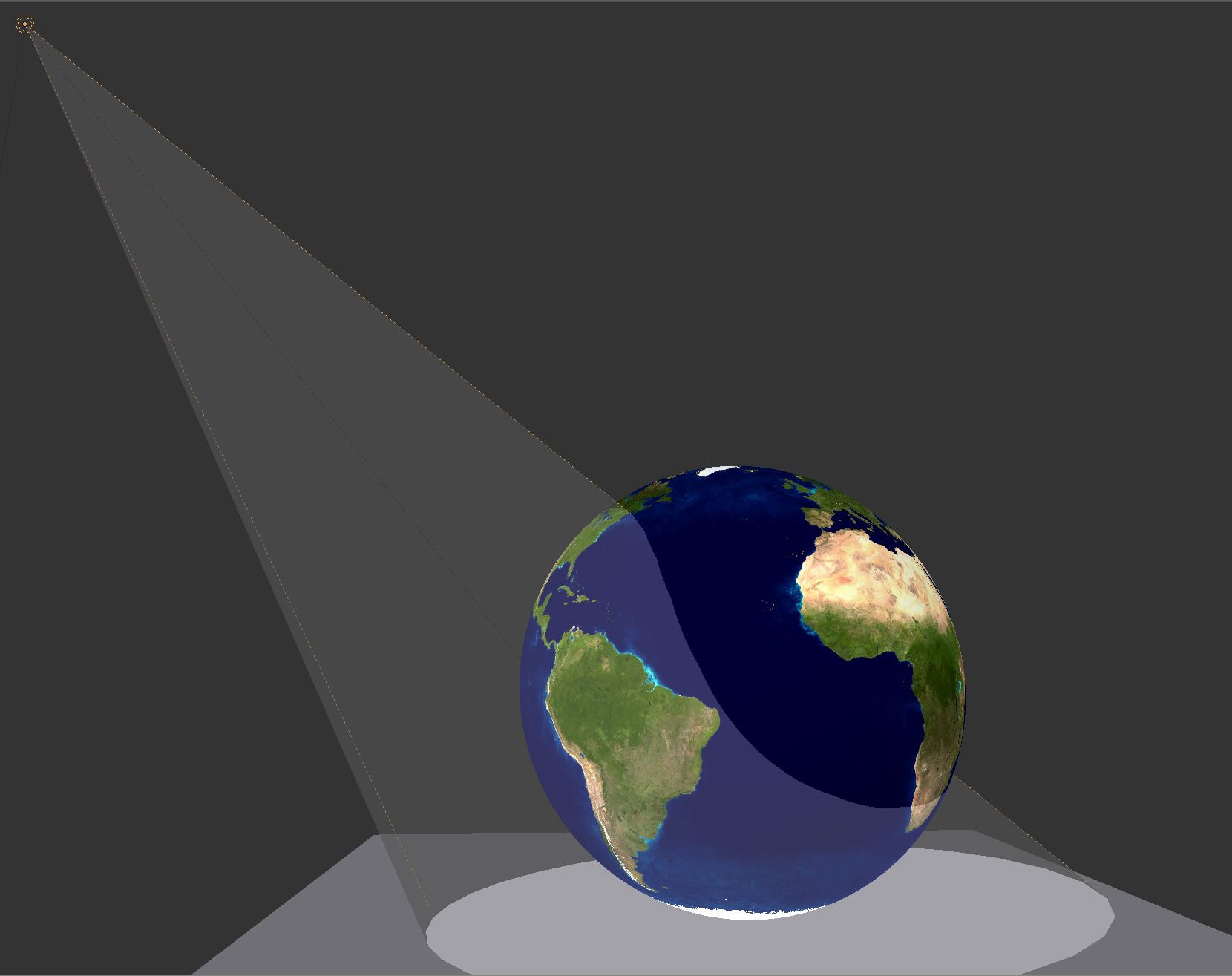 Spotlight
 render
Lighting
 point
point
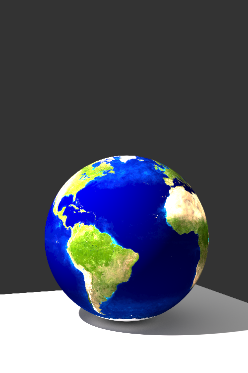 render
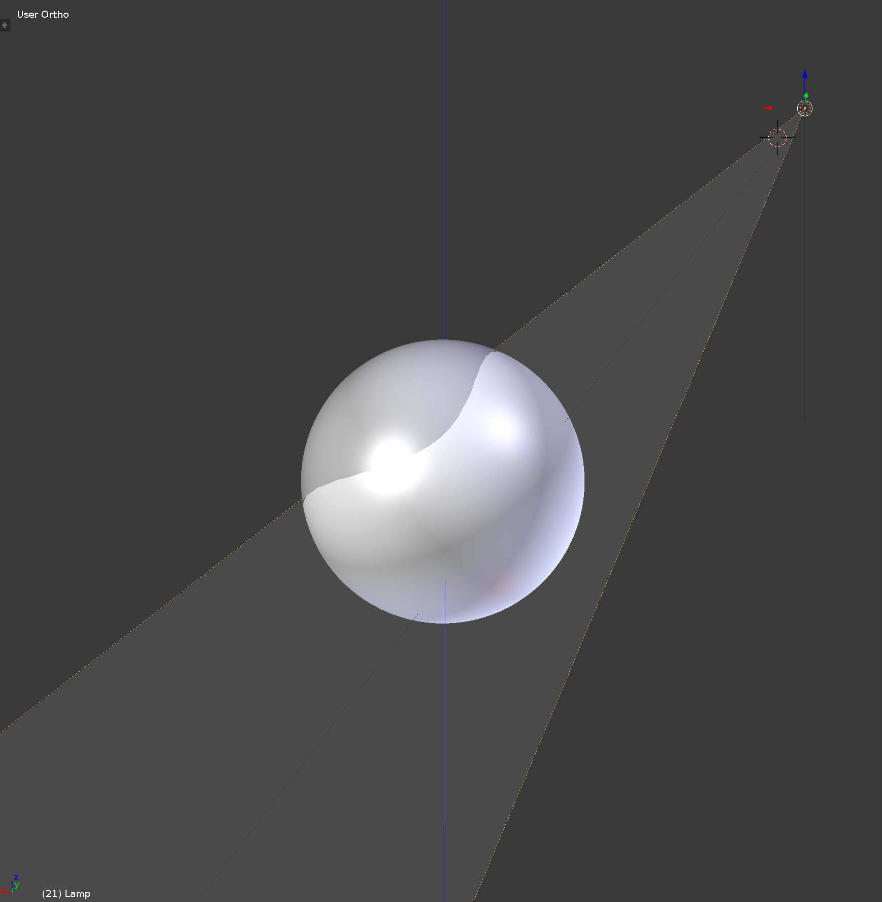
Lighting
sun
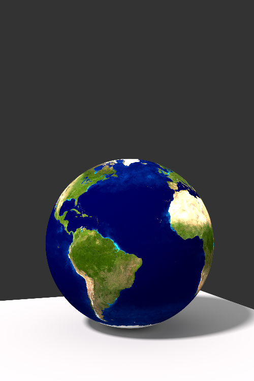 render
3D GIS
- Georeferencing
- 3D in GIS (e.g., ArcGIS pro, CityEngine)
- GIS in 3D (e.g., Mapbox in Unity, BlenderGIS)
3D Web GIS
| Platform | Interaction design capability | Realism | Web AR/VR | Realtime GIS data integration | API | License | Domain hosting |
|---|---|---|---|---|---|---|---|
| ArcGIS | full | medium | -- | yes | JS, HTML | Proprietary | No |
| CesiumJS | full | low | -- | yes | JS | Apache 2.0 | No |
| Sketchfab | limited | high | VR | -- | HTML | Proprietary | Yes |
| Blend4web | full | high | VR | no | HTML CSS JS Python | GNU V3 | No |
| Mapbox | full | high | full | Yes | Python JS C# | Proprietary | Yes |
Blender
- Free and open-source
- Powerfull mesh editing tools
- GIS connection
- Easy Scripting python API
- Direct export for Sketchfab and Blend4Web
Components of Blender interface
 Environments attributed to five editors
Editors: 3D viewport
3D viewport
Editors: Outliner
Outliner showing Camera, Cube and Lamp objects
Editors: Python console
- Quick scripting/prototyping
- Python libraries already loaded
Python console
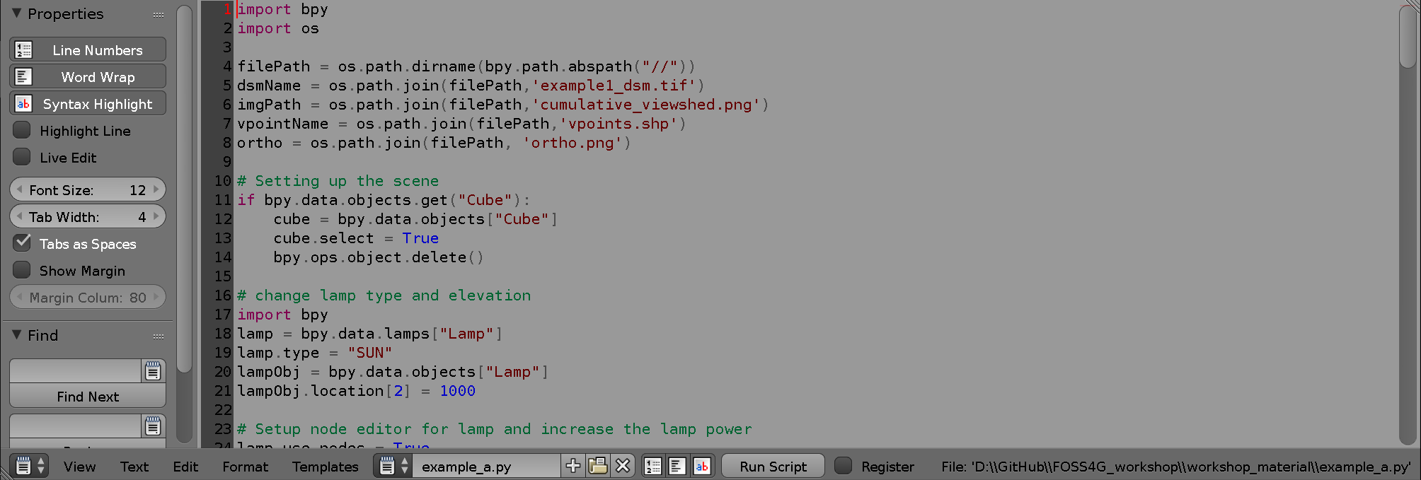
Editor: Python text editor
- Scripting and executing workflows
- Libraries should be loaded
Editor: Properties editor
- Materials, objects, textures, modifiers, lights, cameras
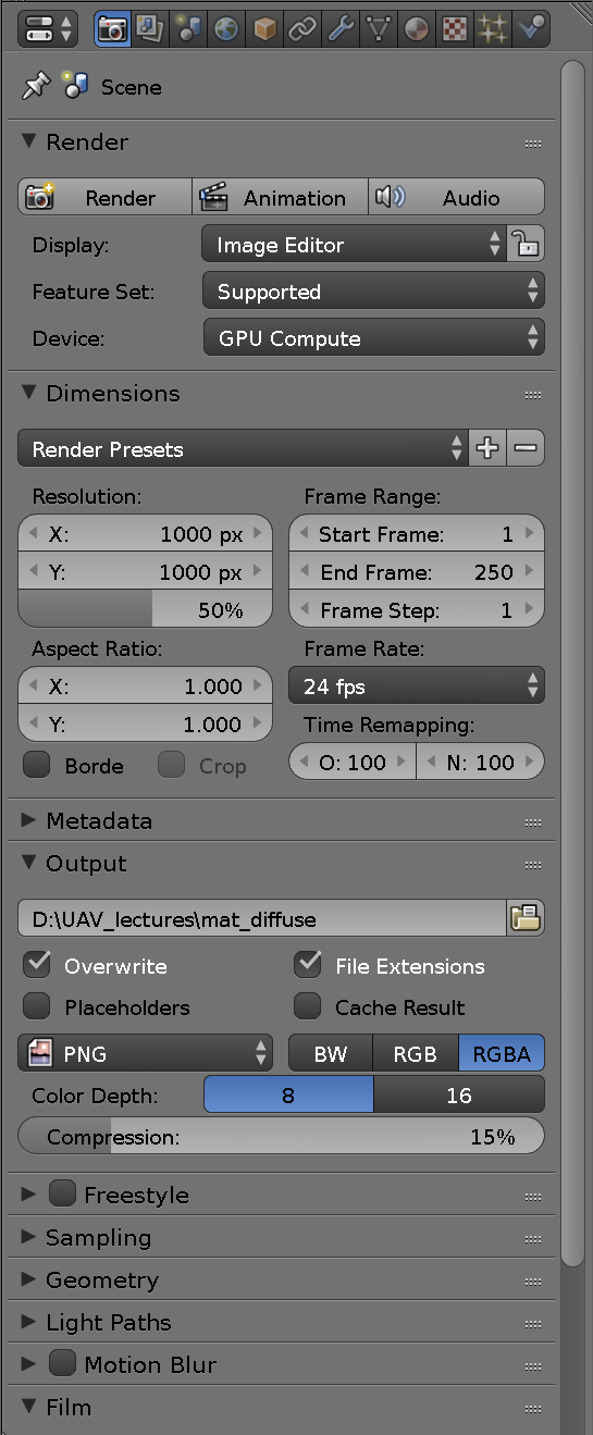 Render options
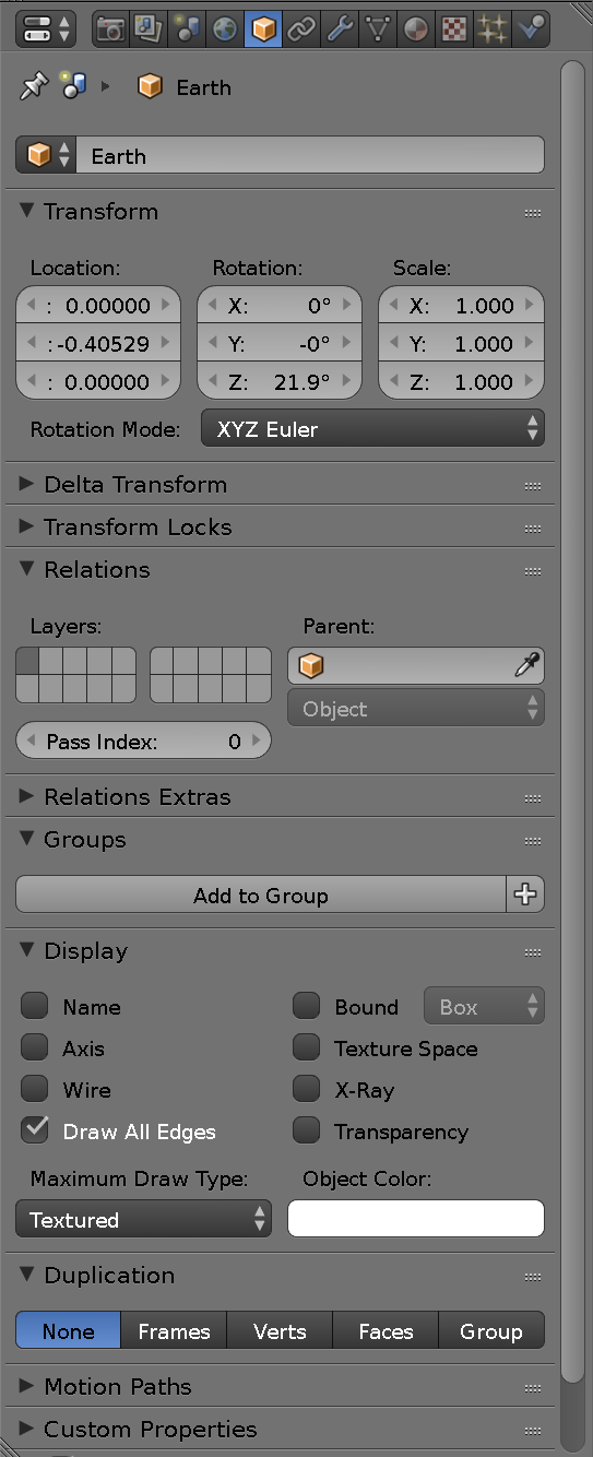 Object attributes
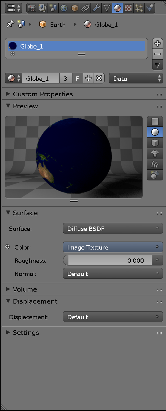 Material attributes
 Texture attributes
Node editor
Designing complex photorealistic material
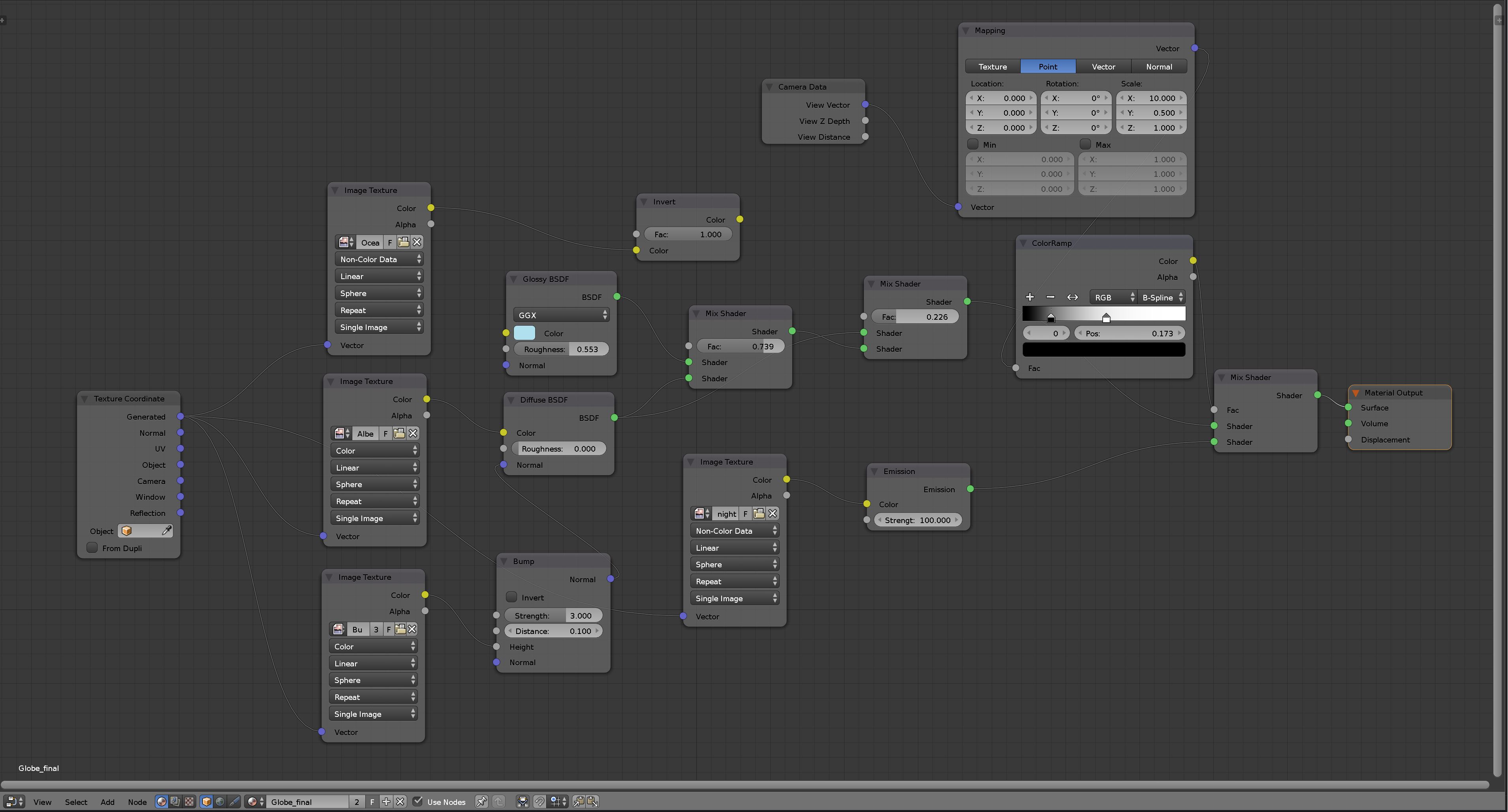
Node tree with shader and output nodes, parameters and links
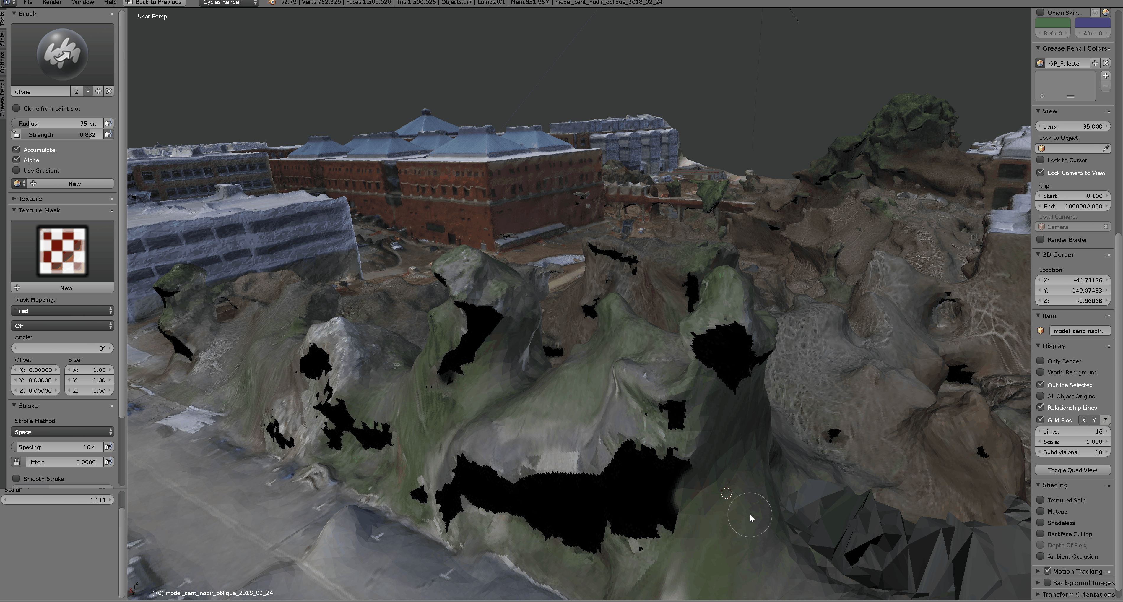
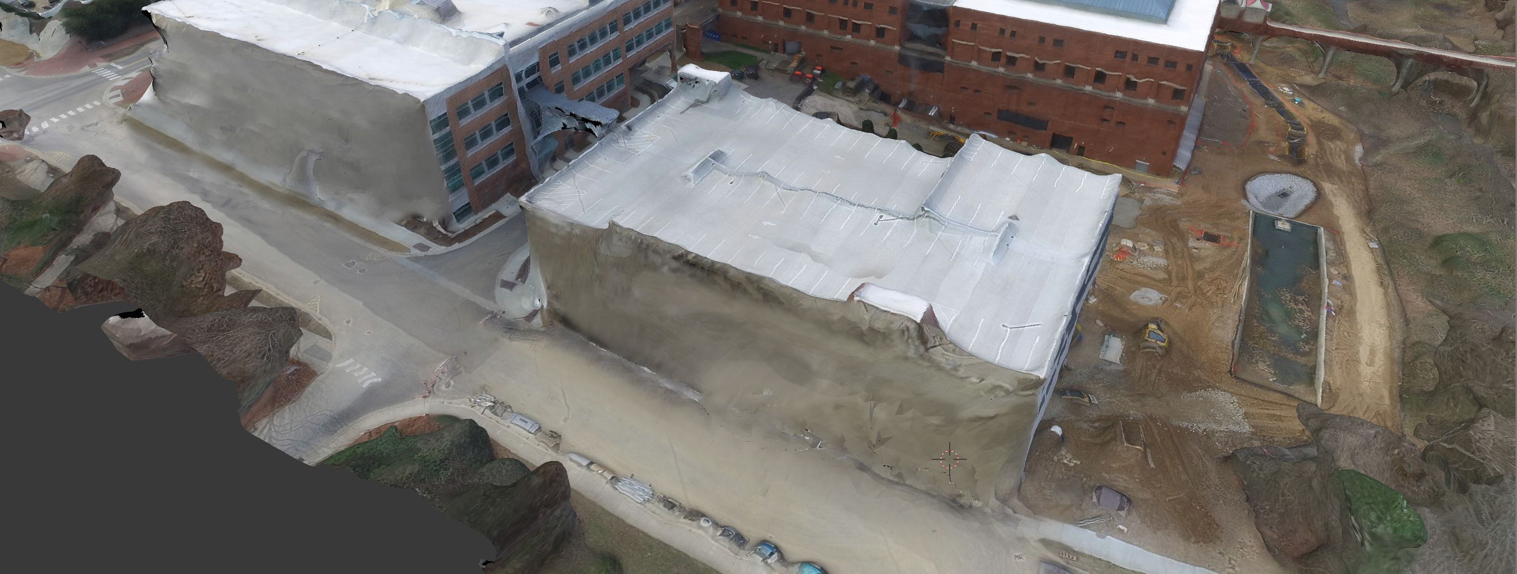
General workflows for processing UAV data
- Importing data
- Model optimization
- Shading
- Output
Importing surface models
- Geotiff (.tif) through BlenderGIS
- Wavefront (.obj) directly from Agisoft, etc.
- Stanford (.ply) pointclouds
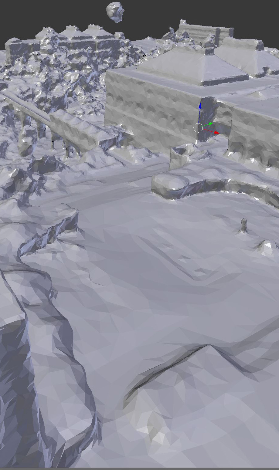
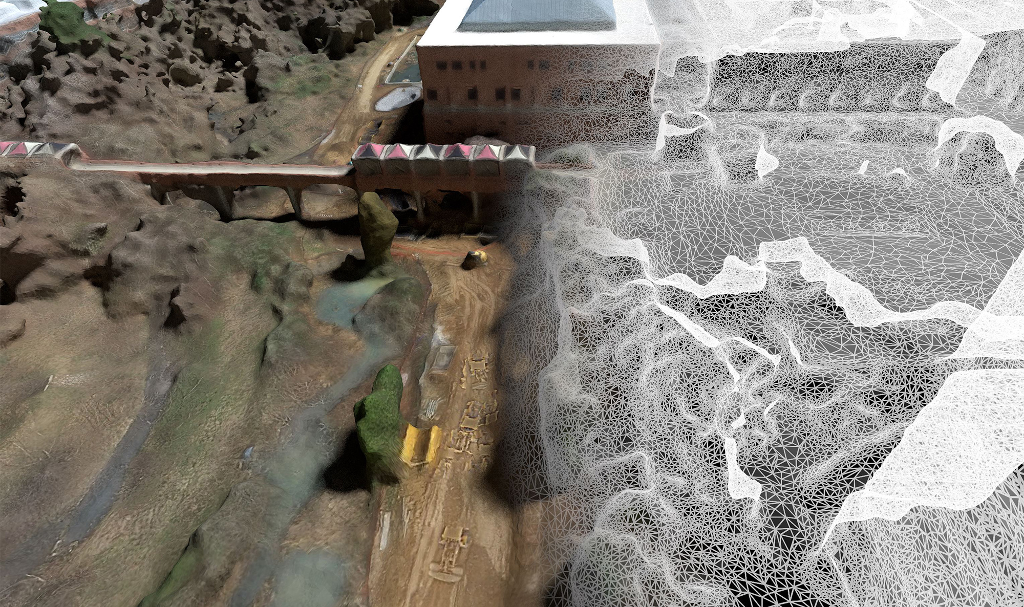
Model optimization
- Decimation
- Smoothing
- Mesh correction
- Texture correction
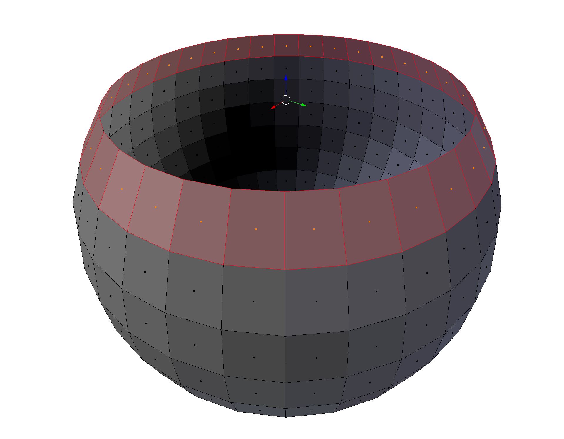
Decimation with Decimate modifier
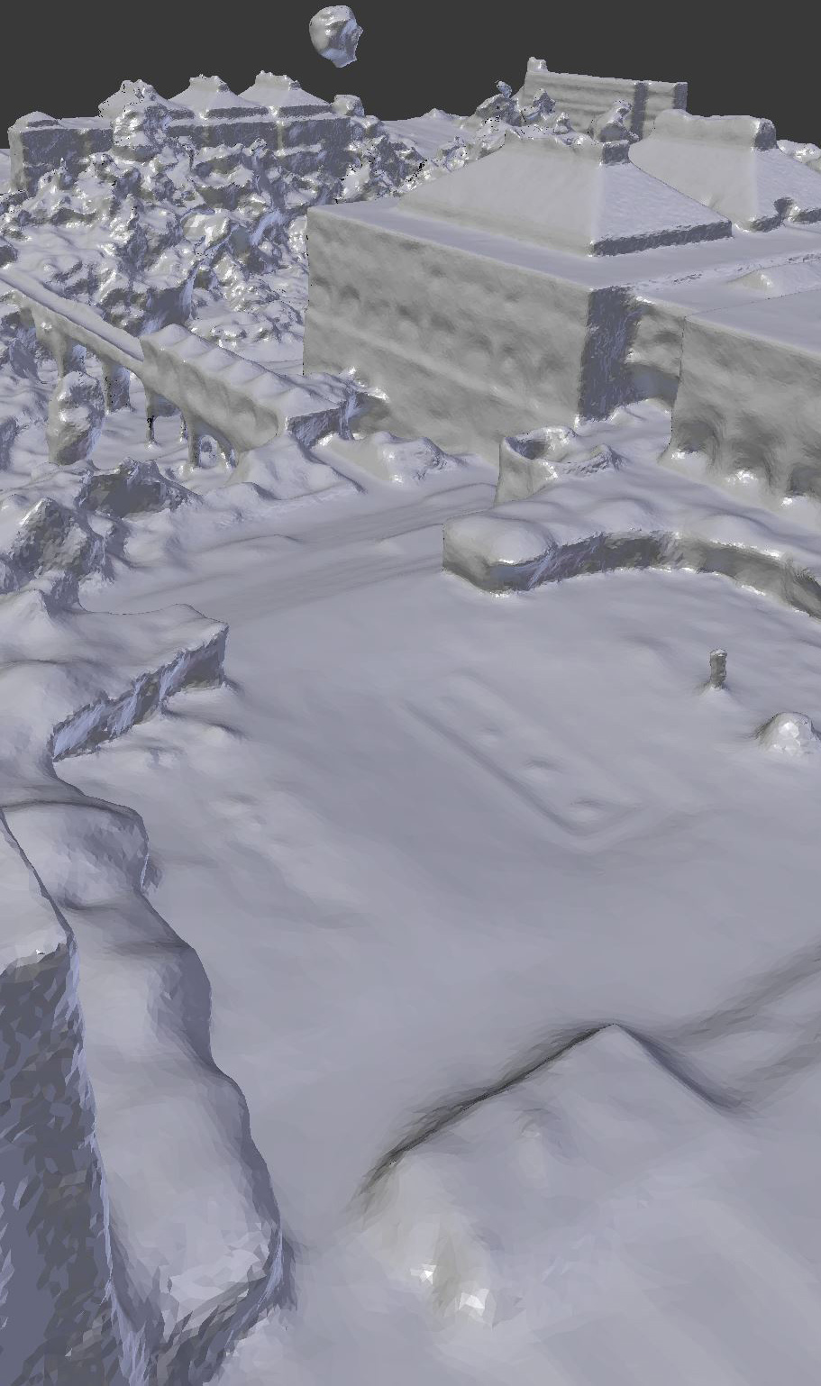 Initial mesh
5mil faces, 5GB memory
 Decimate to %50
2.5mil faces, 3.6GB memory
 Decimate to %10
500K faces, 2.2GB memory
Smoothing with Smooth modifier
 Initial mesh
 After medium smoothing
 After high smoothing
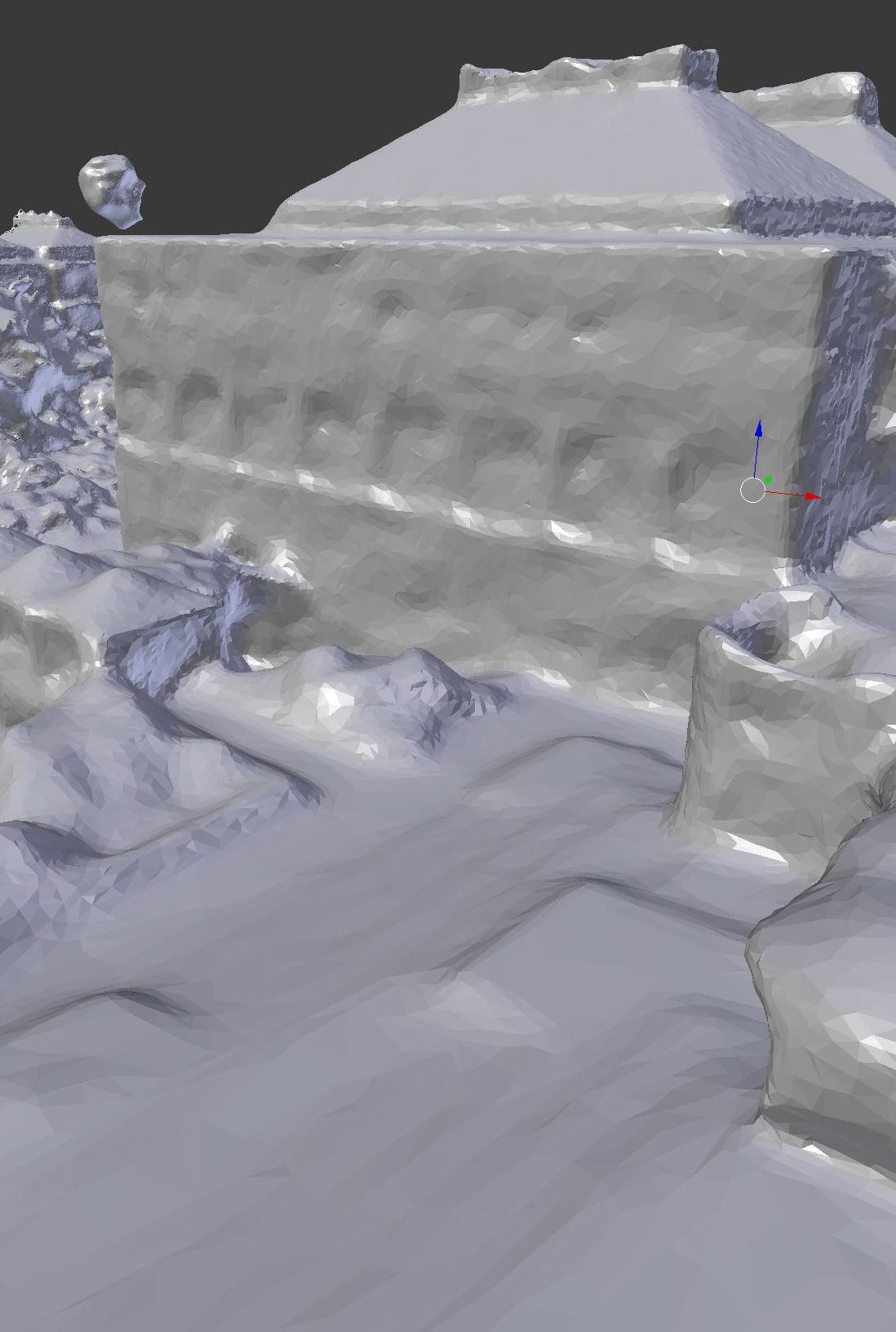
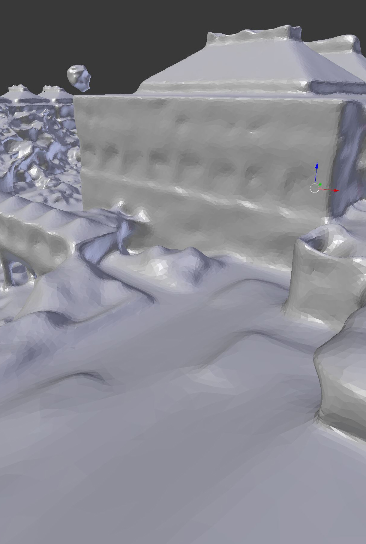
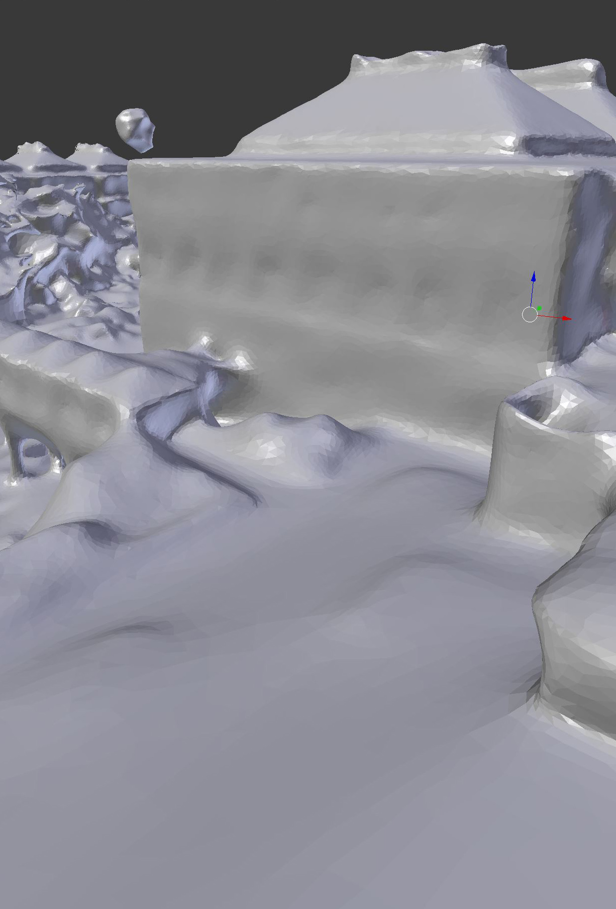
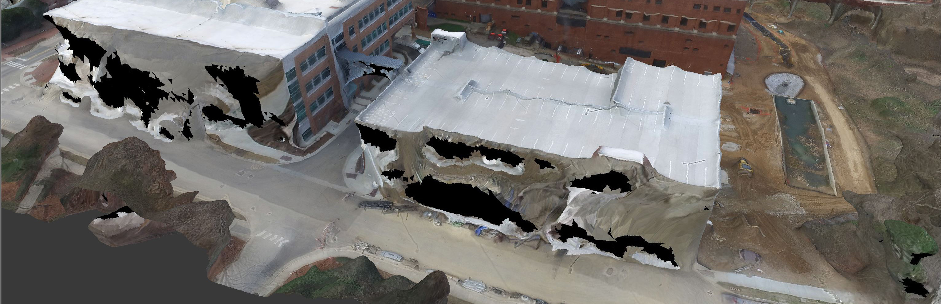
Mesh correction with sculpting tool
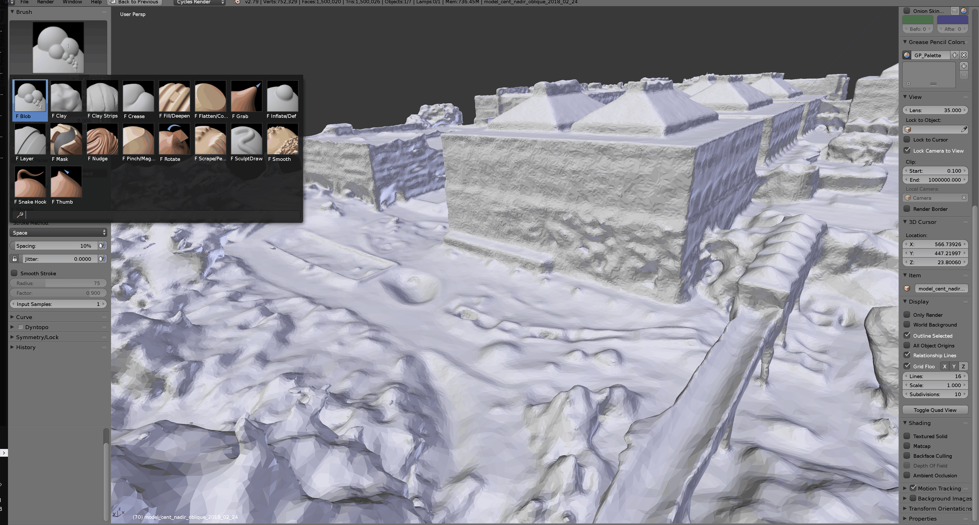 Blender Sculpt tool Brushes
 Initial mesh
 Refined mesh using Inflate, Flatten and Smooth brush
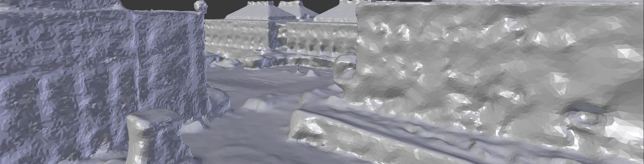
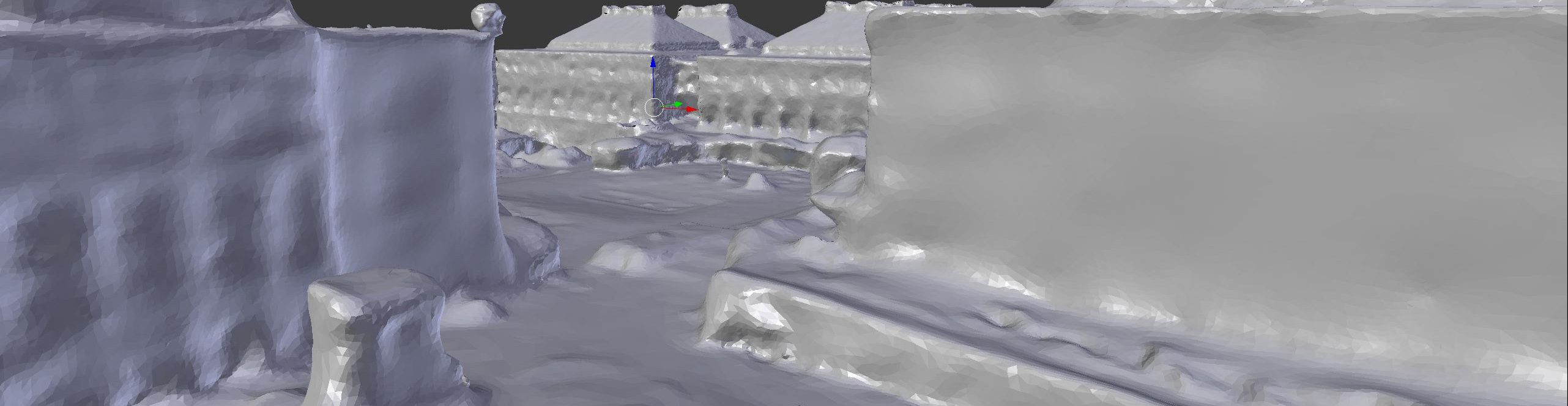
Texture correction with Texture Paint tool
 Blender Texture Paint tool
Initial mesh
Refined texture using clone brush
Shading
- Draping orthophoto and GIS analyses using image textures
- Blending multiple textures using mix shaders
- Extracting features (e.g., buildings) using alpha maps
 Wire shader blended with UAV RGB texture
General workflows for processing UAV data
- Output
- Single frame rendering
- Animations (multiple frame)
- Web
Animation
Scene Camera is following a circular curve to create the animation (100 frames 10fps)
Web export: Sketchfab
- Imports, shaders, lights, cameras, and animations
- Option A) Directly exporting from Blender using Sketchfab addon
- Option B) Importing (.blend) in Sketchfab
Web export: Blend4Web
- Blender addon for simple export to (.html)
- Primitive interactions and simple annotations
Web export: Blend4Web
- Advanced interactions, UI
- Combine with other media (video, sounds, photos, text)
- Need to host the model yourself
- Requires Javascript
- Example project
