Mapping and Analytics Using UAS
NCSU GIS/MEA 584
Course description
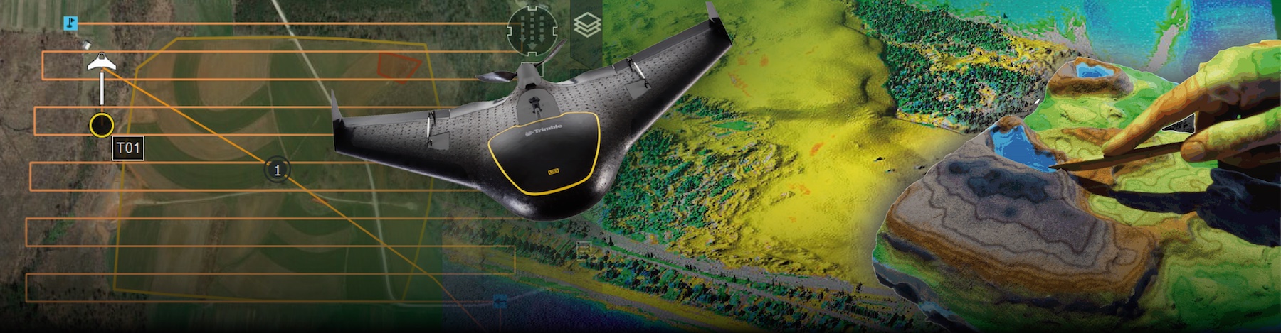
The course starts with a brief overview of the UAS mapping technology and its rules and regulations. The principles of UAS data collection are explained along with hands-on practice in flight planning and execution. The main focus of this course is on processing the collected imagery using structure from motion technique and deriving orthophoto mosaics and ultra-high resolution digital elevation models of land surface, vegetation and structures. More advanced topics include multitemporal 3D data analysis, fusion with lidar data and 3D visualization with applications in natural resources.
Instructors
- Dr. Corey T. White
- Office hours: by appointment
- Email: ctwhite@ncsu.edu
Teaching Assistants
- Pratikshya Regmi
- Office hours: Every Wednesday 9-10 AM, Jordan Hall 5103A
- Email: pregmi3@ncsu.edu
Prerequisites
None, but GIS/MEA582 and/or GIS540 or equivalent courses are highly recommended.
Educational Approach
This course will consist of: lectures, readings, hands-on exercises, homework assignments, and a major project. All the work will be collected within an electronic portfolio that will systematically include the work that you will do for this and other GIS courses. Extra credits will be given for innovative solutions, creativity in problem solving and extensions to given tasks.
Class materials and schedule
Moodle
Course Forum, assignment submissions, project material, and grades are handled in Moodle.
Textbooks
No required textbook, on-line material is used.
Recommended books:
Software
See Course logistics web page.
Grading policy
60% homeworks, 40% project 100% is the maximum number of points (total+extra credits) achieved in class. Points are taken off for late submissions.
| Grade | Course and each HW |
|---|---|
| Max | 100 |
| A+ | 97 |
| A | 93 |
| A- | 90 |
| B+ | 87 |
| B | 83 |
| B- | 80 |
| C+ | 77 |
| C | 73 |
Topics
- Introduction to Unmanned Aerial Systems
- Rules and regulations for UAS operations
- From images to 3D models: Photogrammetry and Structure from Motion concepts
- UAS flight planning
- Imagery processing and structure from motion (SfM)
- Accuracy of UAS-derived DSM and orthophoto
- UAS and lidar data: comparison and fusion
- Analysis of ultra high resolution elevation models
- Analysis of multitemporal UAS data and its applications
Course Goals
By the end of this course, students will:
Use UAS as a scientific instrument for high-resolution mapping and analysis. Plan, run, and document a UAS mapping mission while following FAA Part 107 rules. Process UAS imagery using Agisoft Metashape, WebODM, and GRASS. Apply UAS-derived data to problems in natural resources, the environment, and the built environment. Develop reproducible workflows and follow ethical practice in UAS data collection and analysis.
Course-Level Learning Objectives
By the end of GIS/MEA 584, students will be able to:
- (Apply) Plan and run (or simulate) a UAS mapping mission that follows FAA Part 107 and meets stated accuracy requirements.
- (Apply) Process raw UAS imagery into georeferenced orthomosaics, digital surface models, and point clouds using Agisoft Metashape, WebODM, and GRASS.
- (Analyze) Evaluate UAS-derived products against reference data using positional and surface accuracy metrics.
- (Evaluate) Compare UAS Structure from Motion, airborne lidar, and fused datasets, and recommend an appropriate data source for a stated objective.
- (Create) Design a complete UAS analysis workflow, from acquisition through interpretation, for a domain-specific problem and present the results in a project portfolio.
Academic integrity
Attendance policy
in regular section, attendance is checked at each class, see also attendance regulations and university definitions of excused absences
Accommodation of students with disabilities
Large Language Model (LLM) policy
The use of LLMs in this course is permitted for the purposes of completing assignments and projects. However, the use of LLMs for the purposes of completing exams is strictly prohibited. Students are also required to cite the use of LLMs in their assignments and projects. Failure to do so will result in a violation of the courses academic integrity policy. Students are also to be aware that the use of LLMs in this course is not a substitute for learning the material. Assignments and projects must be properly cited and contain no plagerized materials. (The policy was created with the aid GitHub CoPilot)