Erosion and deposition modeling tutorial
C-factor estimation
Steve Warren, Matt Hohmann, Tom, Ruzicki, Helena Mitasova
DRAFT - UNDER DEVELOPMENT, finalize regressions using landsat8, add photos to help assign C-factorUniversal Soil Loss Equation C-factor tables
C-factor based on NLCD land cover classification (DRAFT)
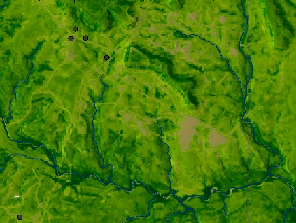
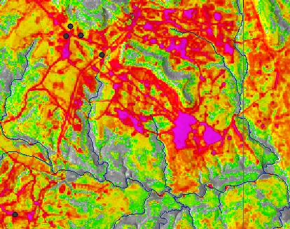
Fort Campbell:
   Forested areas: C=0.001 (Wischmeier and Smith, Table 11),
   OR 0.003 (Dissmeyer and  Foster, Table 3) x 0.5 (Dissmeyer and Foster, Table 5) = 0.0015

   Meadows: C=0.013 (Wischmeier and Smith, Table 10)

   Ag fields: regress imagery with field-determined C-factors  C-factors
Yakima:
All areas: regress field-determined C-factors multiplied by 0.1
Fort Hood:
 Forested areas (as determined by imagery):  C=0.002 (Dissmeyer and Foster Table 3 x Table 5)

  All non-wooded areas: regress imagery with field determined C-factors multiplied by 0.1
Schofield Barracks:
 All forested areas: C=0.0001

  All non-forested areas: regress imagery with field based C-factors multiplied by 0.1
Eglin AFB:
  Forested areas: see if it is possible to differentiate levels of forest canopy using imagery

   Non-forested areas:  see Ft. Hood