Soil erosion and deposition modeling
GIS Data Sets
Helena Mitasova
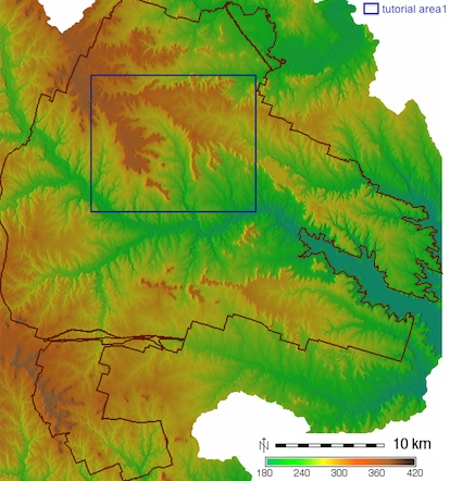
The tutorial has been prepared using data from the Ft. Hood installation. The data sets are provided in ArcGIS and GRASS GIS formats. The figures in the tutorial are for the blue rectangle area. The data sets can be downloaded from here:
-
GRASS GIS data set: LOCATION fthood_utm14
-
ArcGIS data set: Ft. Hood subregion